K’gari or Fraser Island, is the world’s largest sand island; a huge sandmass of 166 000 hectares in area and 123 kilometres long by 25 kilometres wide. It is a World Heritage listed landscape of high dunes, pristine freshwater lakes, wallum heathlands, extensive active sandblows, reedy swamps, sandy ocean beaches and towering forests.
K’gari attracts nearly 300 000 visitors annually. For the bushwalker it offers an unbeatable combination of relative solitude, brilliant scenery, a great interlocking track network and excellent hikers camps tucked away from the hordes of 4X4 campers and tour buses.
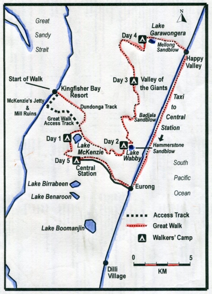
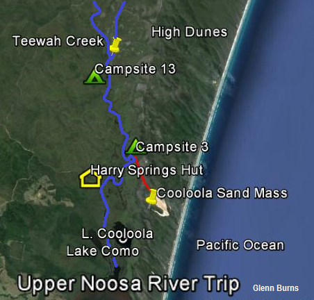
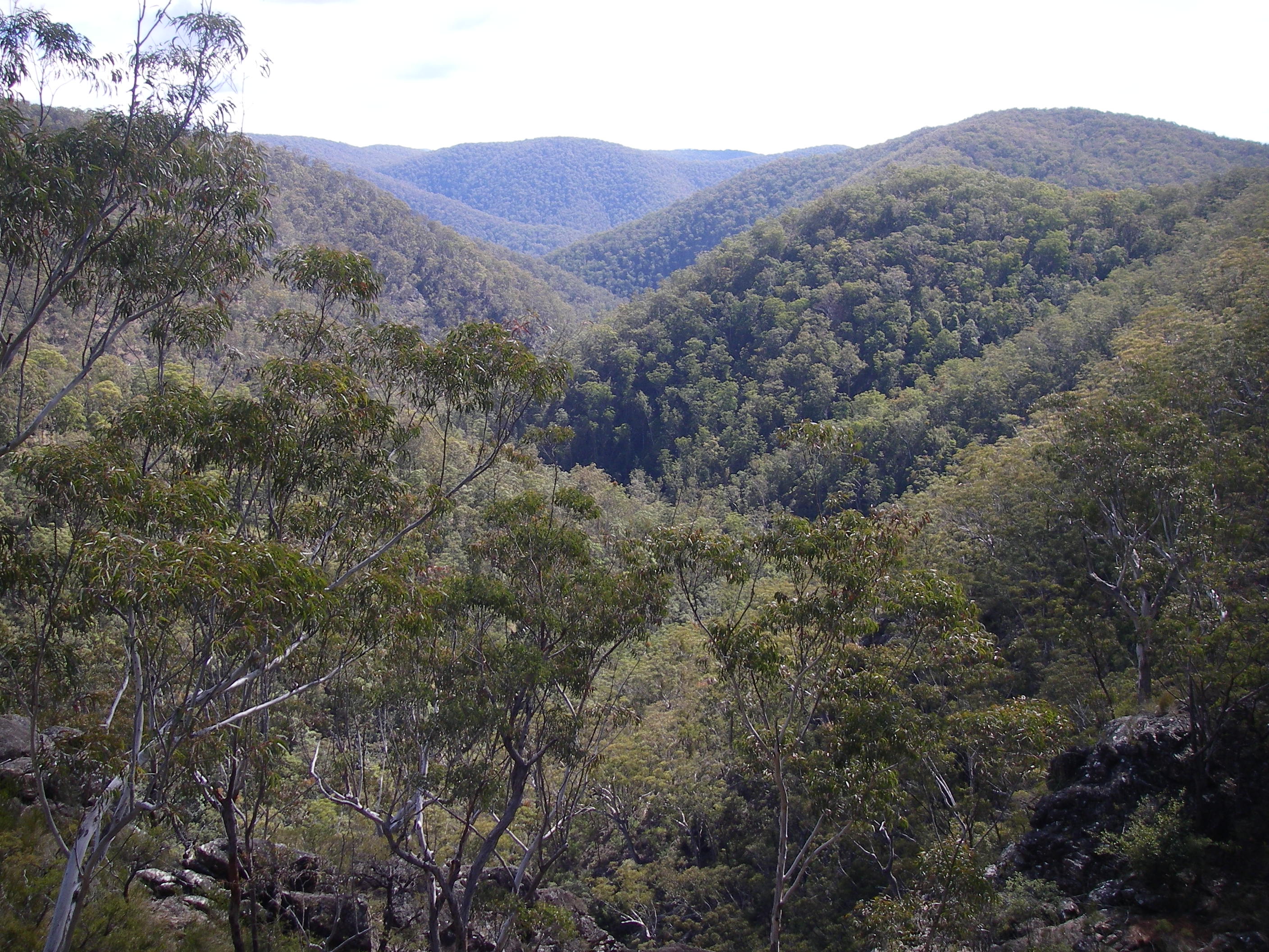
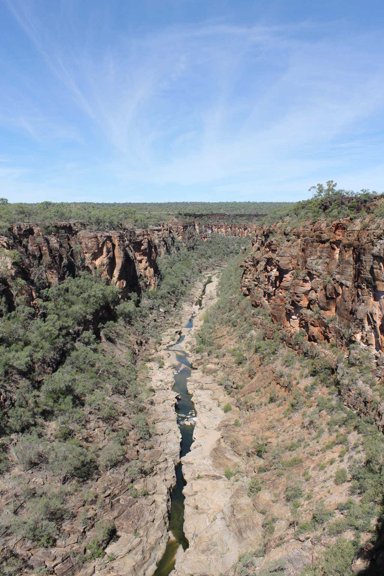
Our walk would take us on an 70 km circuit through a landscape of forested high dunes and perched lakes loosely known as the Southern Lakes District.
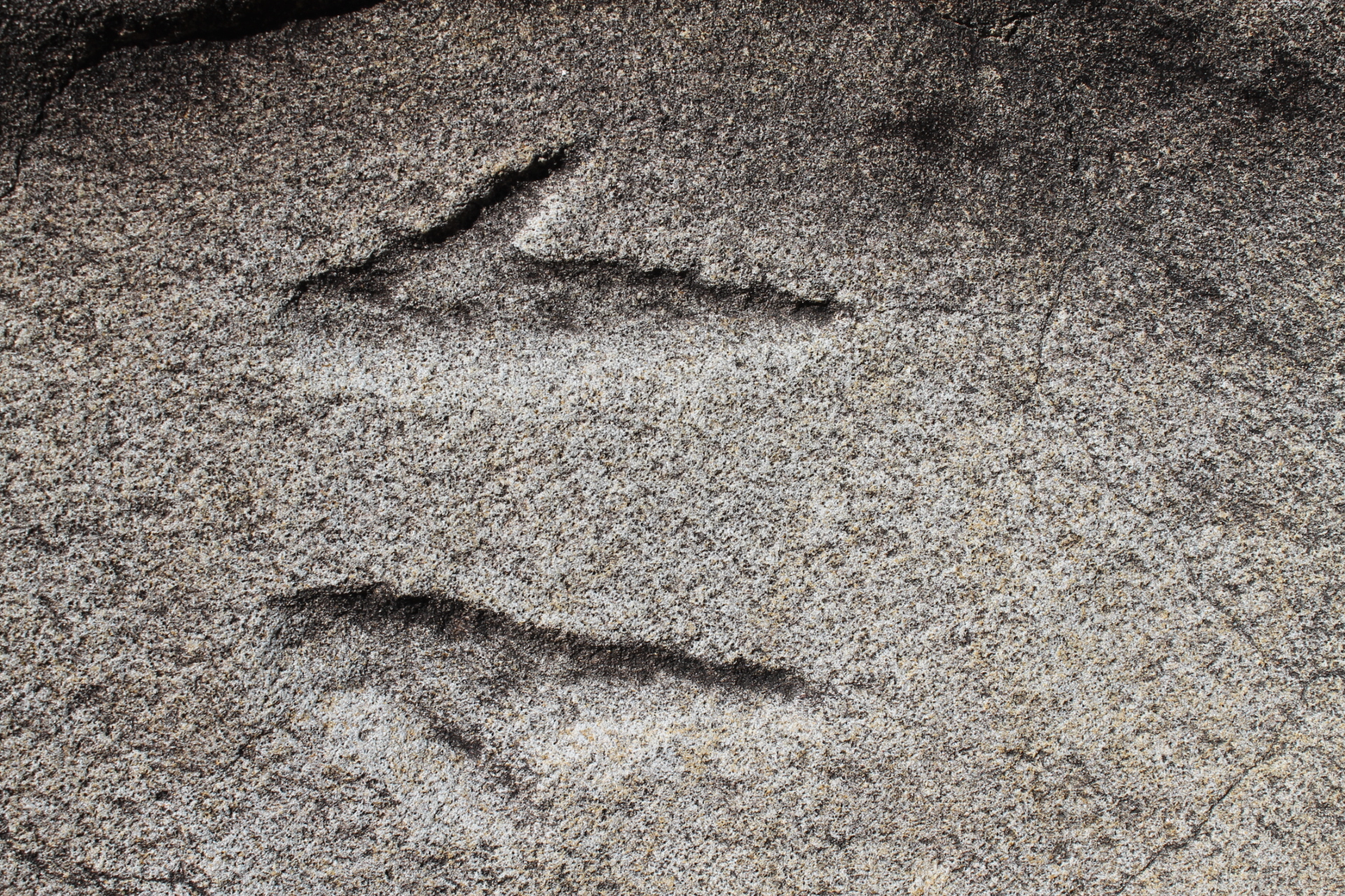
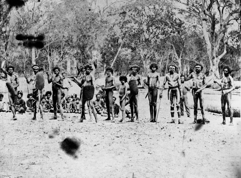
The traditional owners of K’gari are the Butchulla people who have occupied the island for at least 5000 years. Evidence of their occupation is found in middens, scar trees, lithic scatters and placenames of K’gari’s natural features.
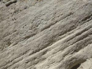
Examples of Lithic Scatters on K’gari


Please leave all artefacts where you find them. Do not remove. Quote from Yolngu elder: ‘It ( sliver of quartz ) must be put back in the earth and left to grow… as all things do, men, animals, everything.’
What’s in the name: K’gari or Fraser Island ? Repatriation of a name.
K’gari is said to mean ‘paradise’ in the local Butchella language. It is pronounced ‘gurri’. Fraser Island is named after a Scottish woman , Eliza Fraser, who was shipwrecked on K’gari in 1836.
After her rescue she spread damaging and increasingly lurid accounts of her treatment by the Butchella people. Her accounts were syndicated as far as the Americas and reinforced the idea that Indigenous people were savages.


The reversion to K’gari began in 2011 when the Queensland Labor government added K’gari as an alternative name in the Queensland Place Names Register. In 2017 Fraser Island was renamed to K’gari (Fraser Island) National Park.
In 2021 , the World Heritage Committee adopted the name K’gari (Fraser Island) World Heritage Area. I believe that it is the intention to give Aboriginal names to K’gari’s natural features, while man-made features may keep current names.
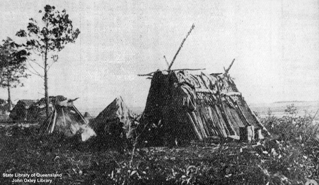
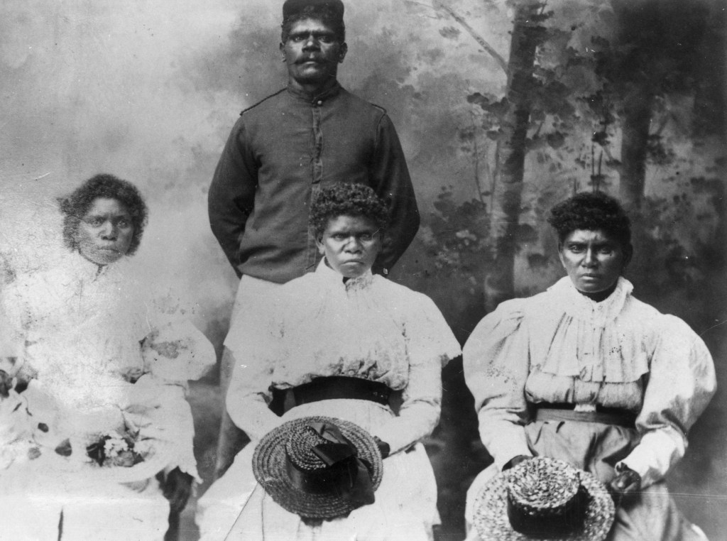
Historical Photos of Butchella on K’gari.


Brilliant reference material on Aboriginal K’gari / Fraser Island if you can still find a copy or can download the PDF version from UQ eSpace.

Qld Parks and Wildlife Brochure on K’gari / Fraser Island

Other great sources of information about K’gari.


https://fido.org.au/
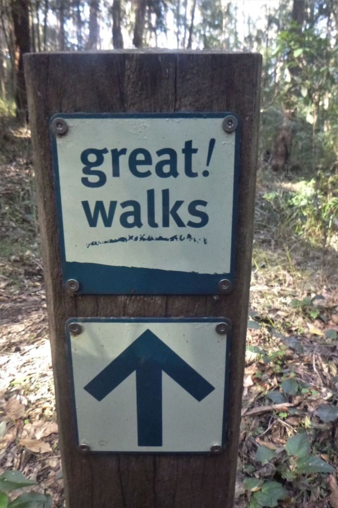
Great Walk Map for K’gari / Fraser Island

Click here for link to Parks and Wildlife map of K’gari / Fraser Island.
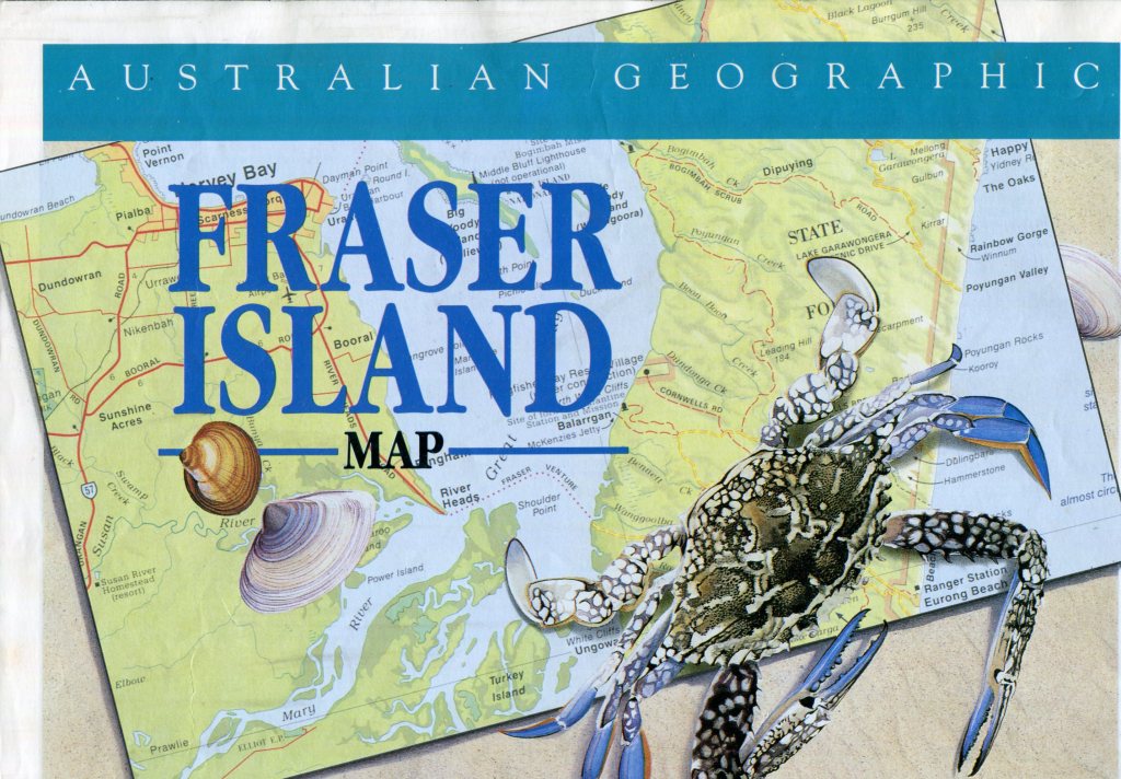
Australian Geographic Map of K’gari / Fraser Island.
Location of K’gari, Fraser Island.

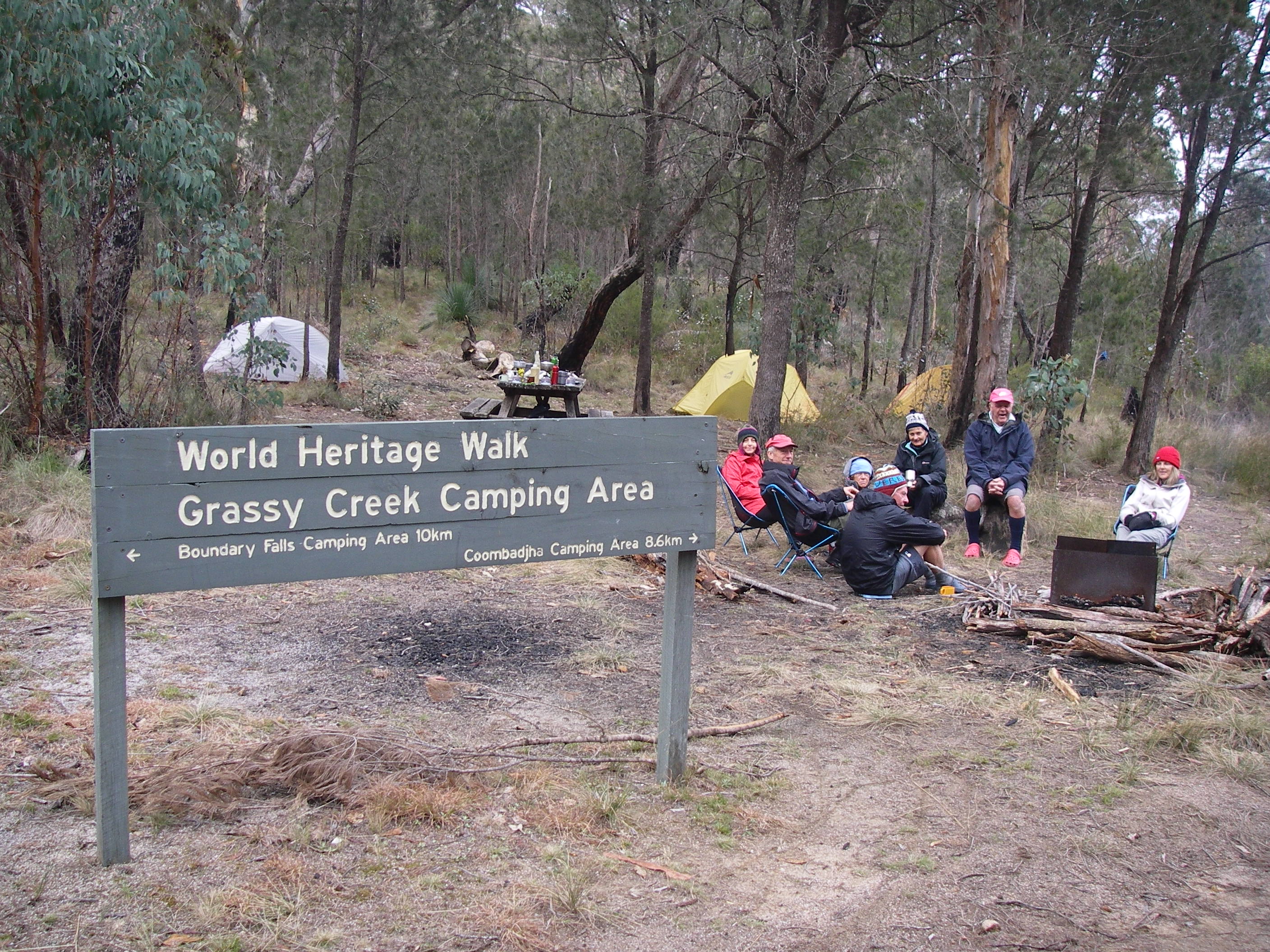
Thursday: Kingfisher Bay Resort to Lake McKenzies Walkers Camp: 8 kms.
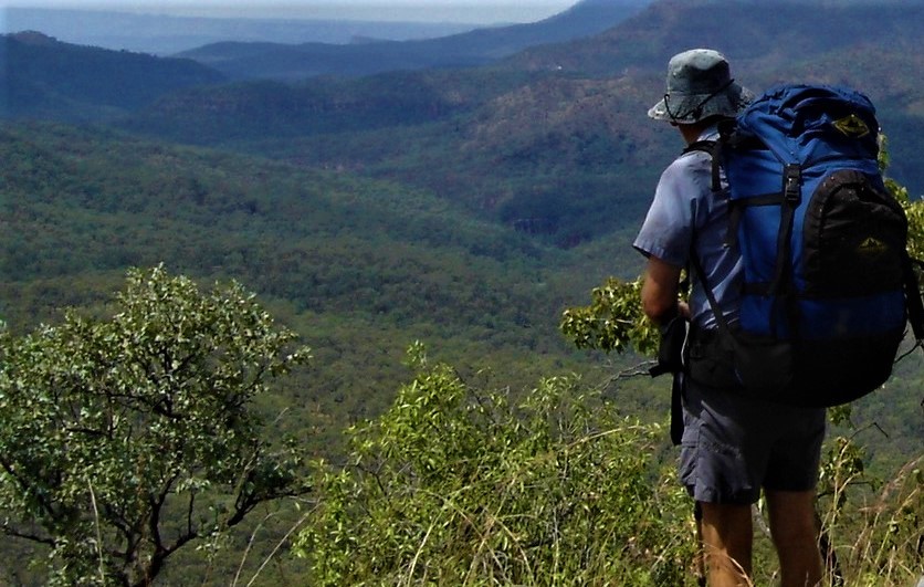
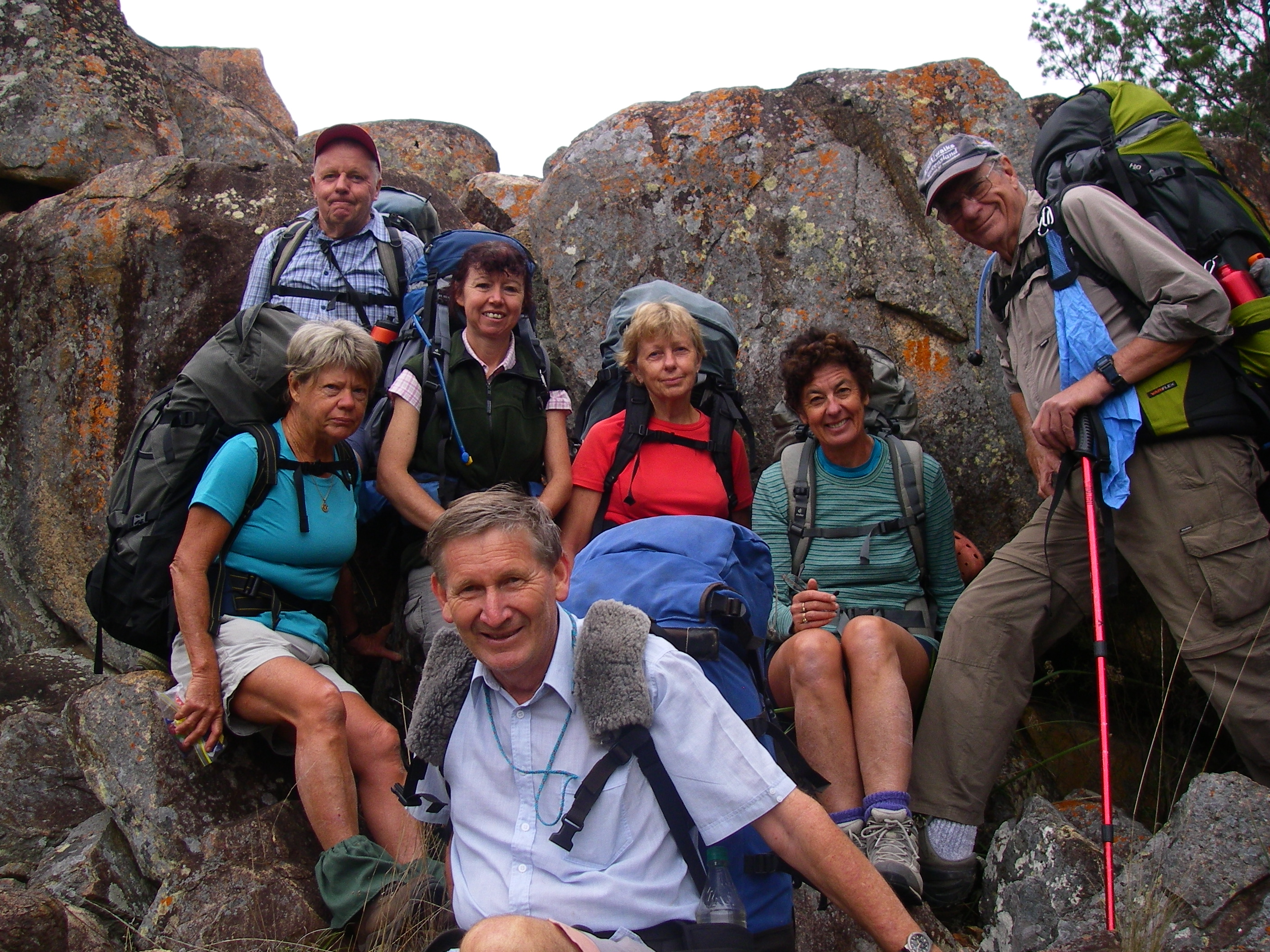
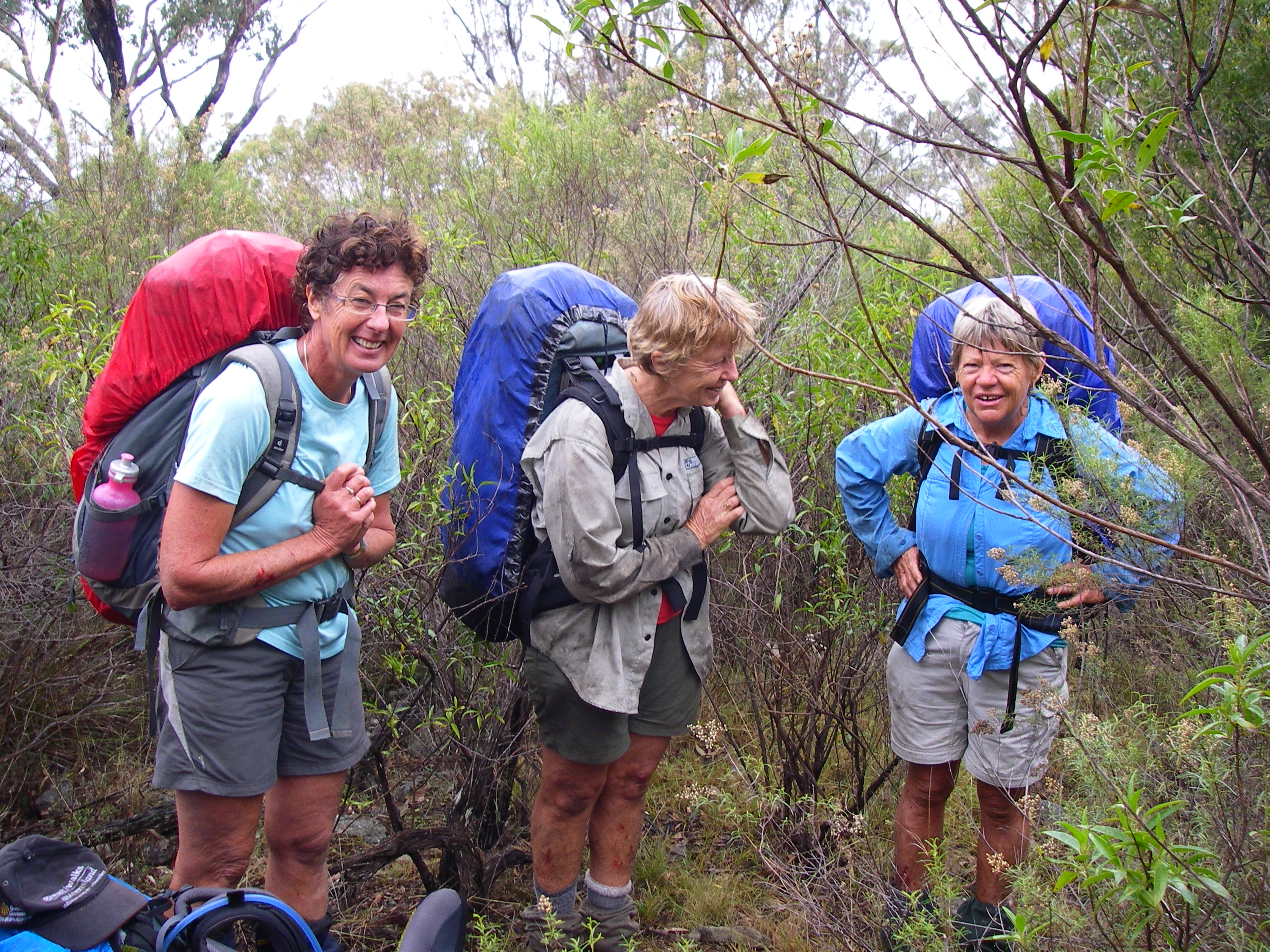
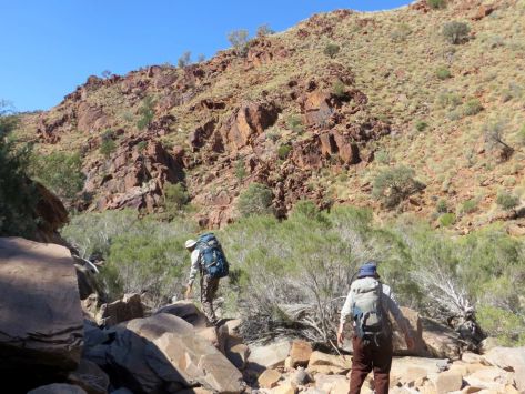
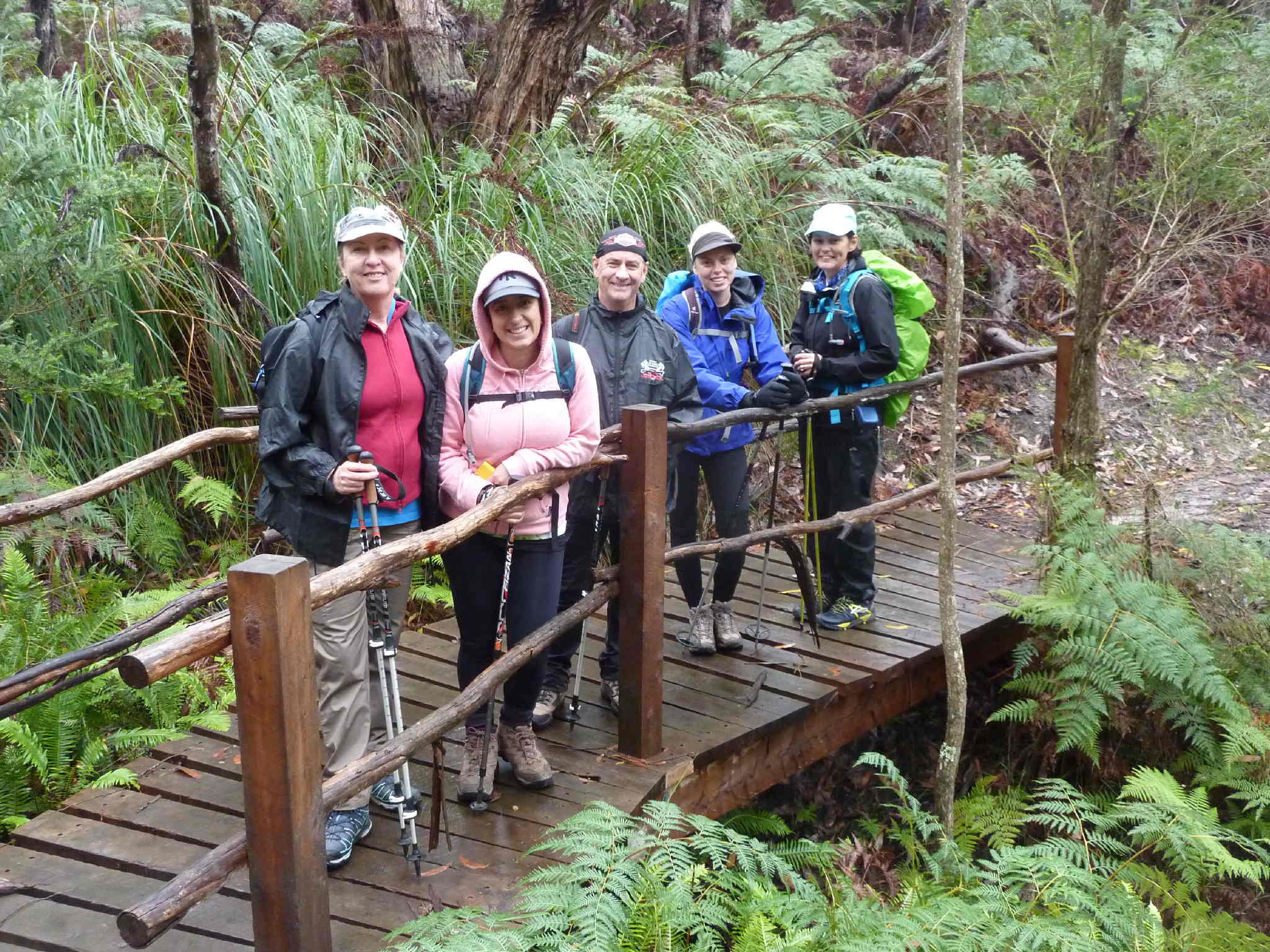
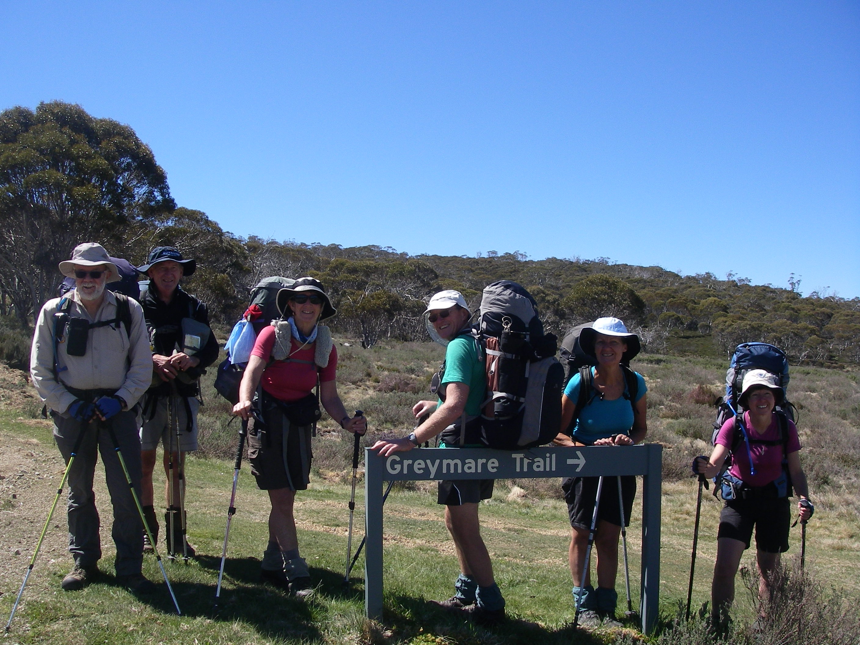
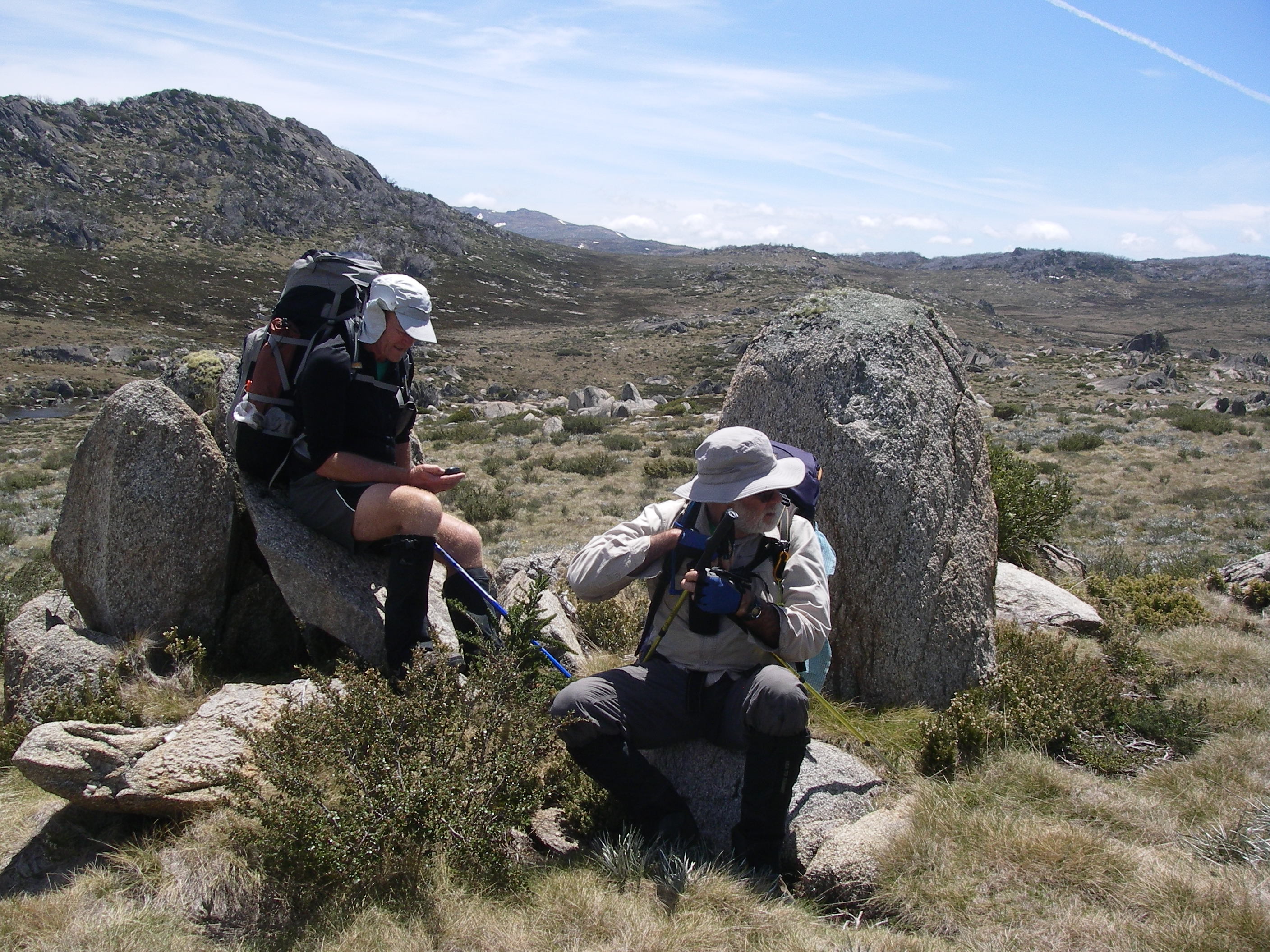
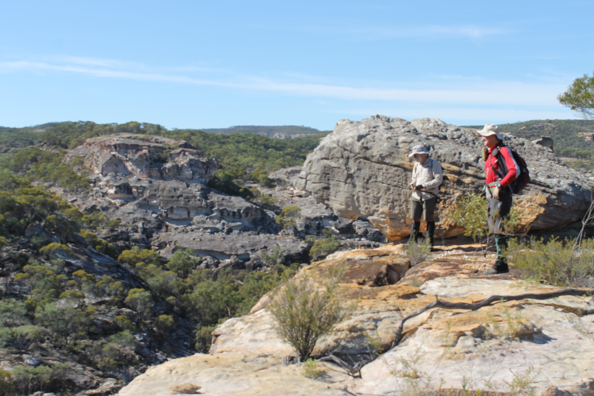
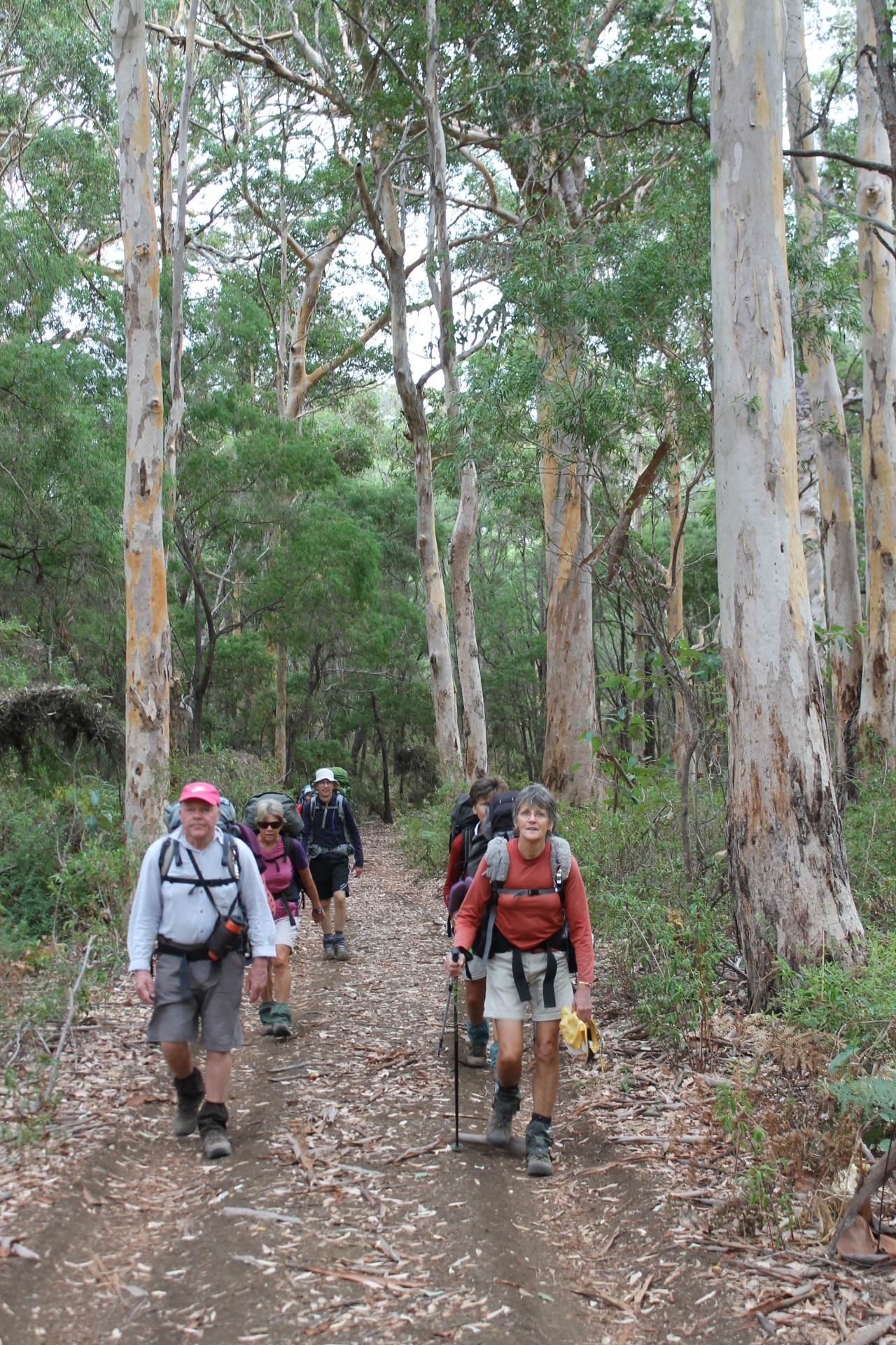
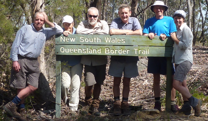
Soon after 2.15 pm on a steamy Queensland October afternoon, the Fraser Venture decanted its cargo of 4WDs , resort guests and three ancient bushwalkers onto the wooden jetty of the eco-friendly Kingfisher Bay Resort. Our six day K’gari adventure was under way. My two companions were John and Joe.
Map of Southern Lakes Circuit: K’gari.

The escape from the resort compound wasn’t all that obvious. But after we had wandered aimlessly through the resort, we swallowed our pride and asked a guest for exit instructions. He pointed us in the right direction: up a sandy track and through the electrified dingo-proof fence.
This was a foretaste of the soupy and sandy conditions for the next six days: hot steamy weather, biggish hills and sandy tracks. We quickly manoeuvered into walking formation. Joe in the lead, trundling along at his steady four kilometres per hour. John sauntering along in the rear, allowing him to indulge his obsession with birdwatching. Your scribe somewhere in the middle.
” Slow Travel is always the Best Travel “.

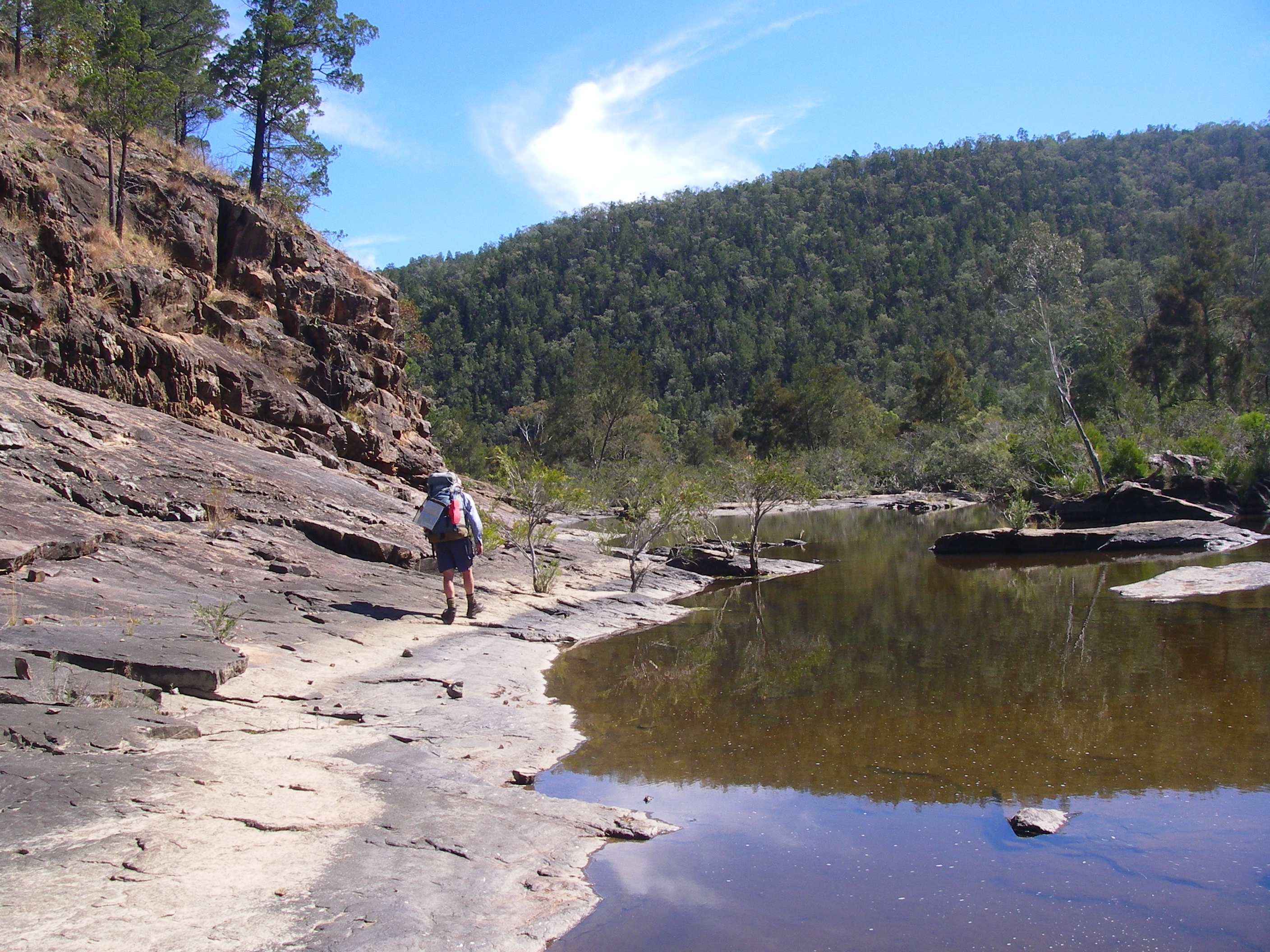
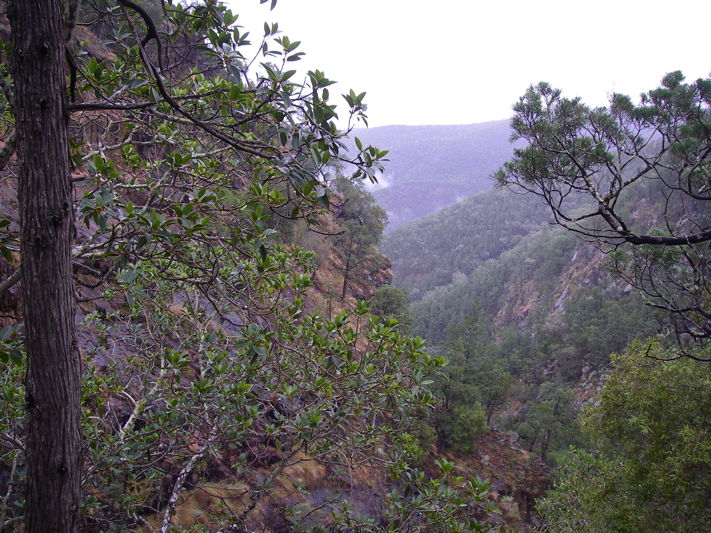
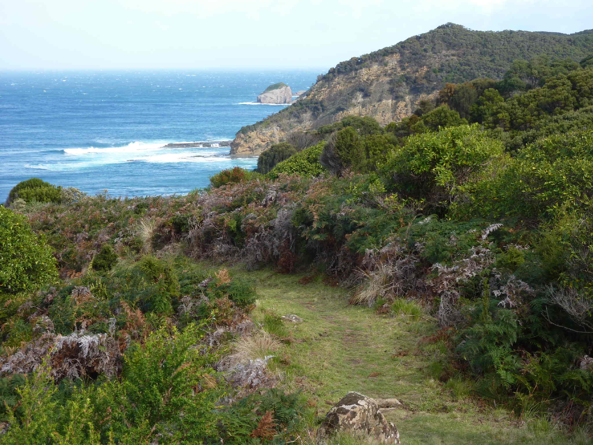
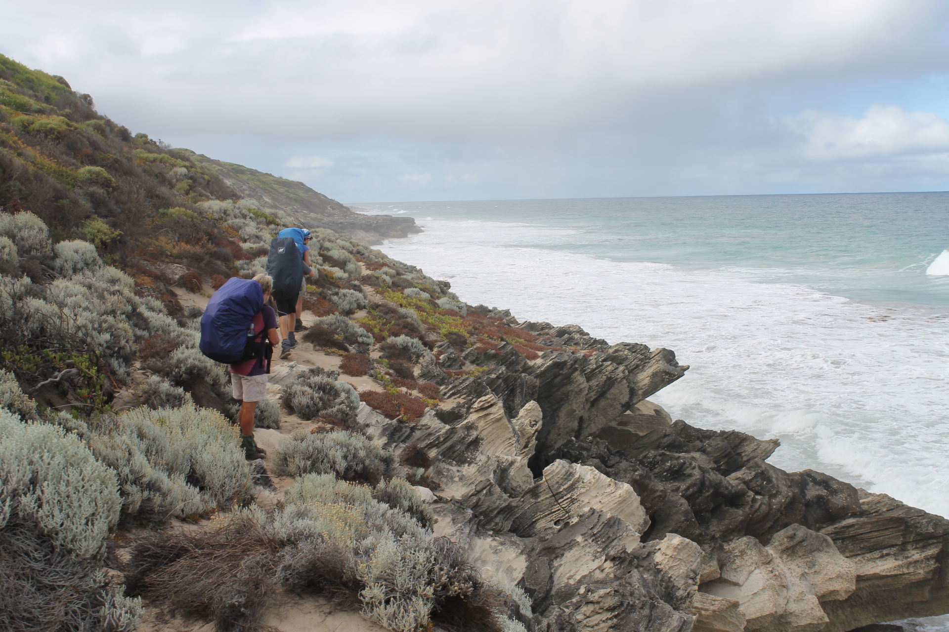
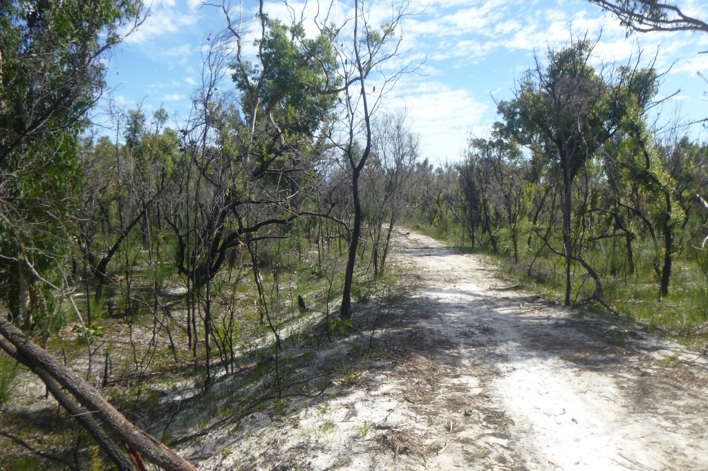
Our track headed generally south east, roughly paralleling Dundonga Creek. For much of its way the track snaked through scrubby low woodland, finally arriving at the crest of a high forested dune at 100 metres. Here we were greeted by a distant clap of thunder.
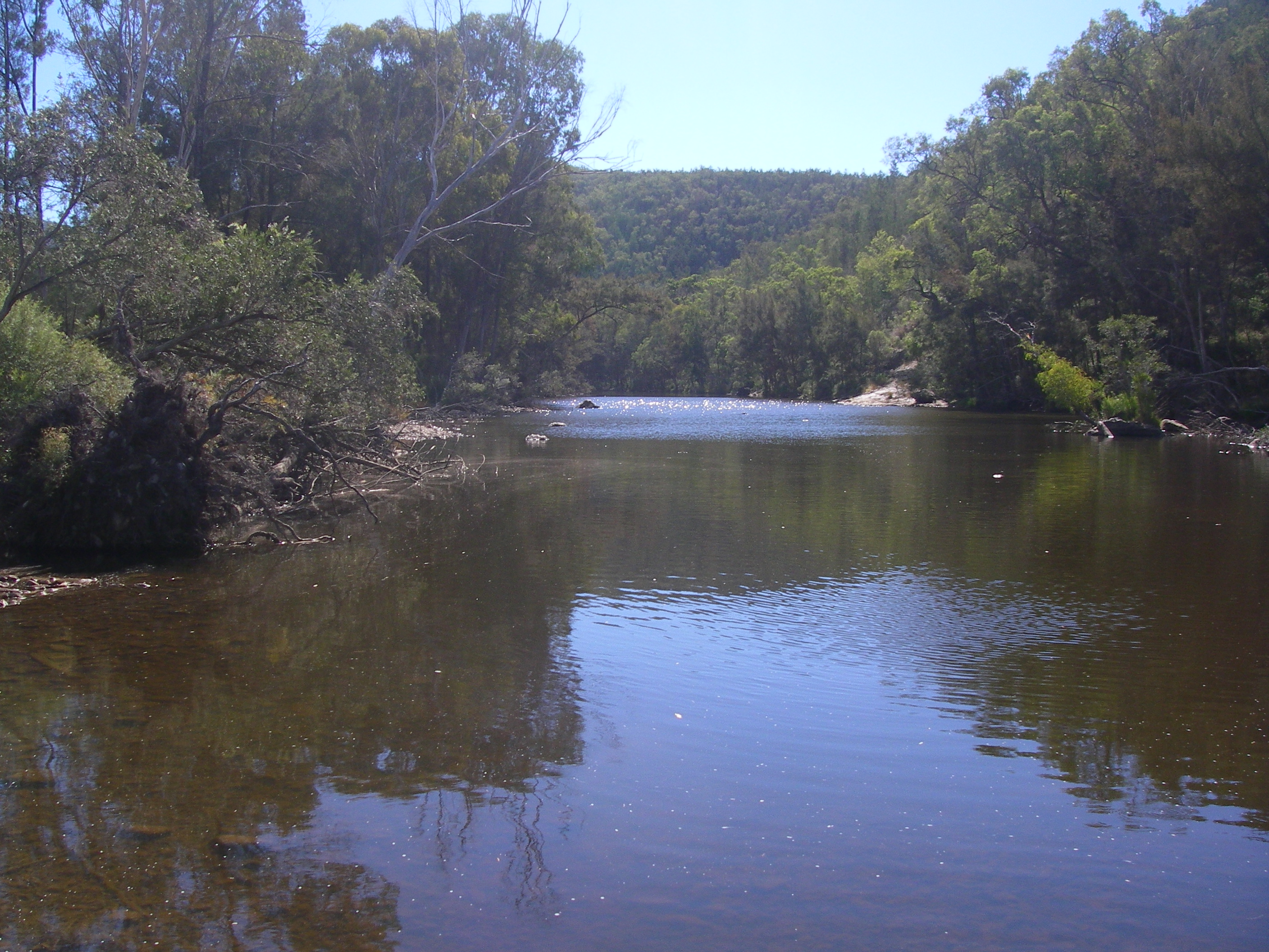
From this vantage point we looked down onto the blue waters and the wide sandy beaches of Boorangoora aka Lake McKenzie. Unusually, for a hot afternoon, the beaches were deserted. In pre-Covid times the beach would have been crawling with sunbathers touching up their tans.


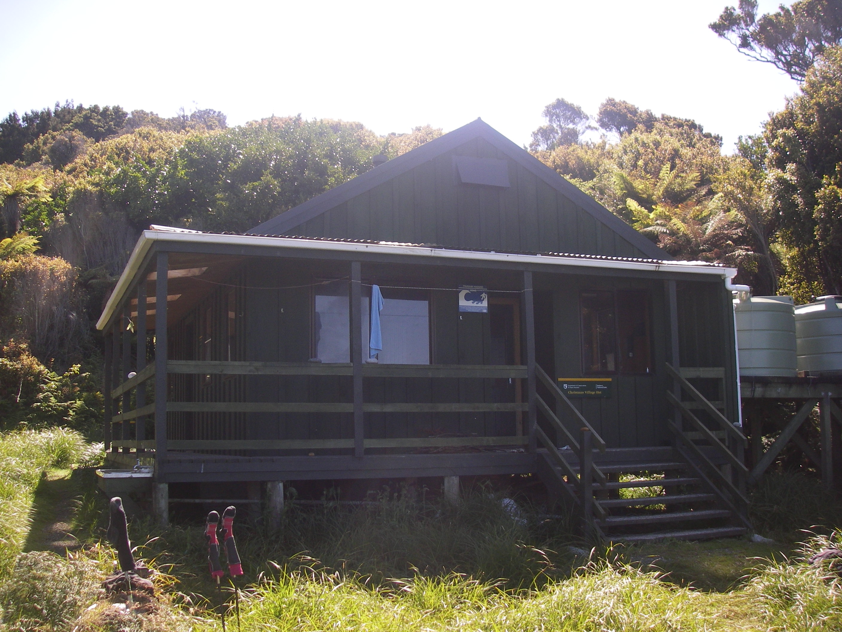
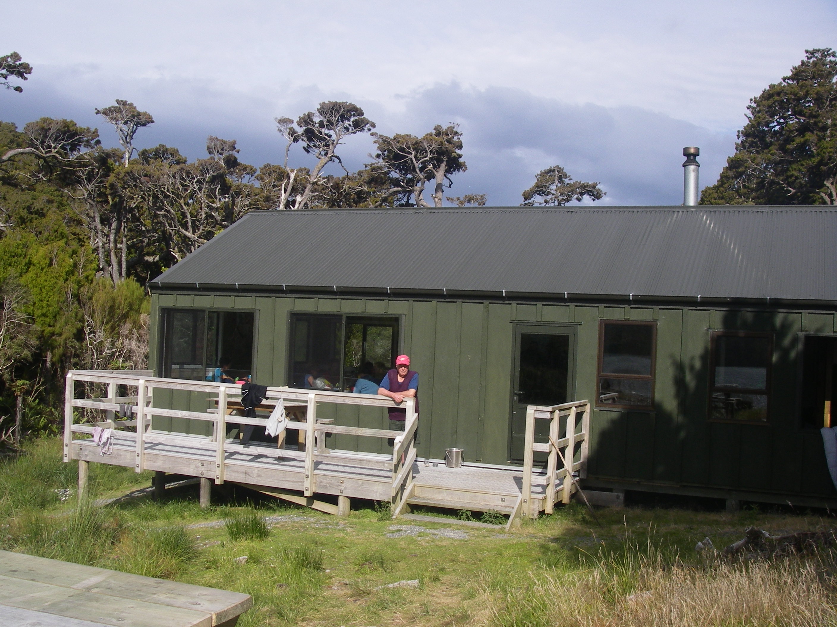
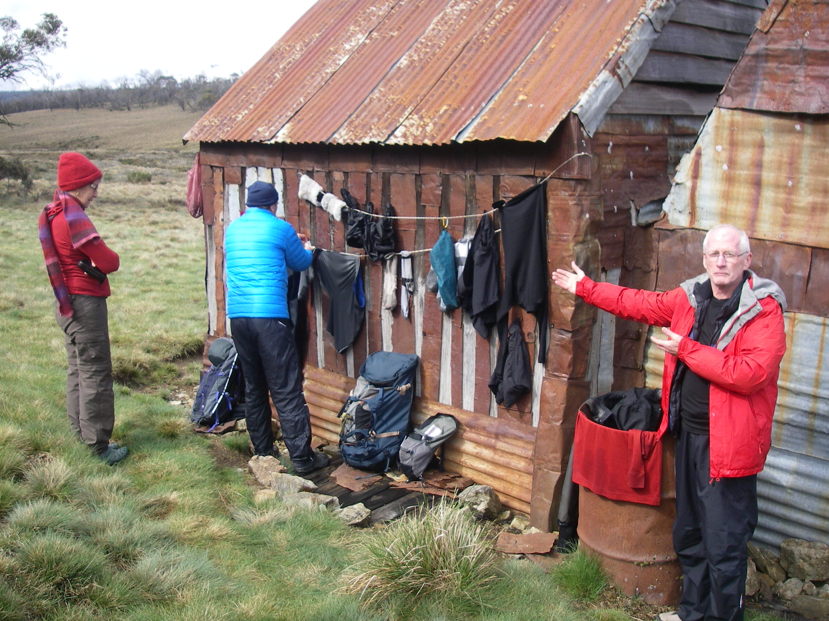
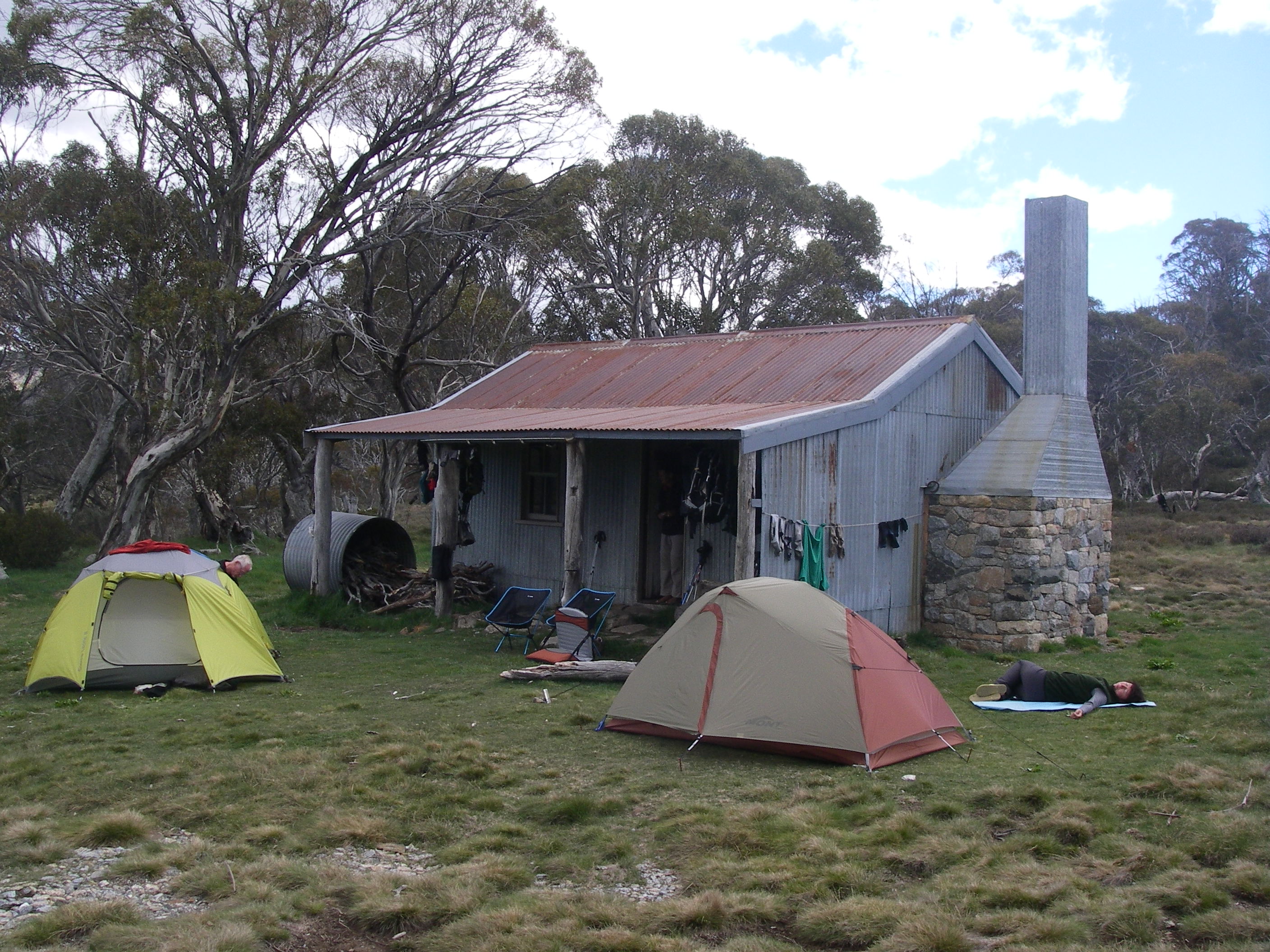
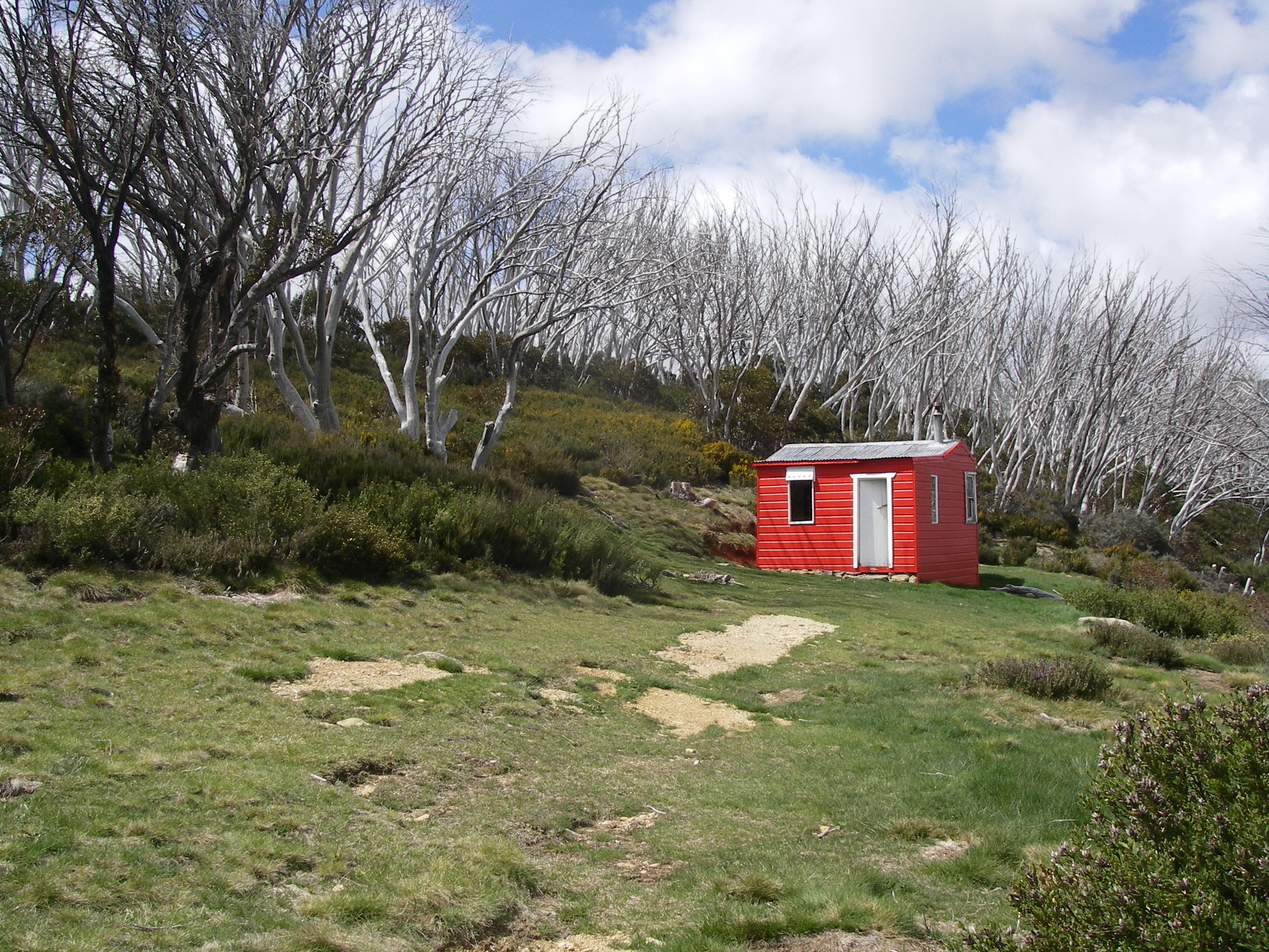
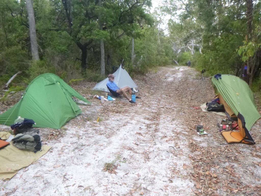
With the threat of an impending storm we picked up the pace and arrived at the Lake McKenzie Walkers Camp a mere two and a half hours after leaving Kingfisher Resort. The campground was currently home to a clutch of high schoolers, surprisingly very well behaved.
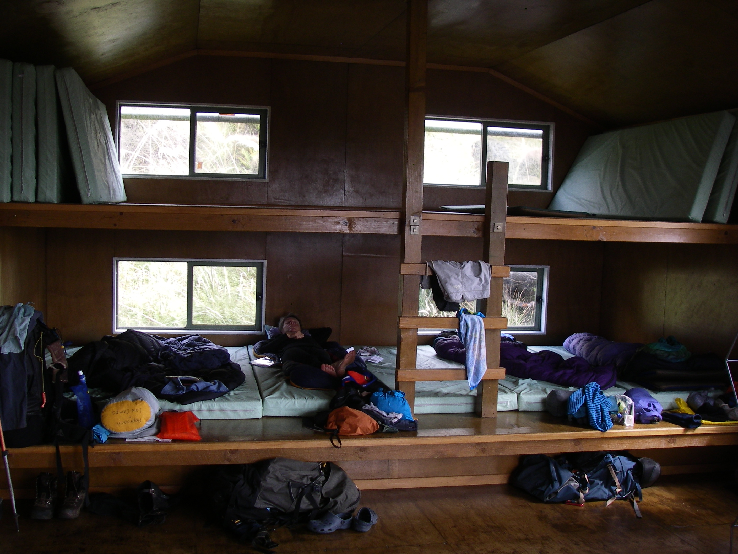
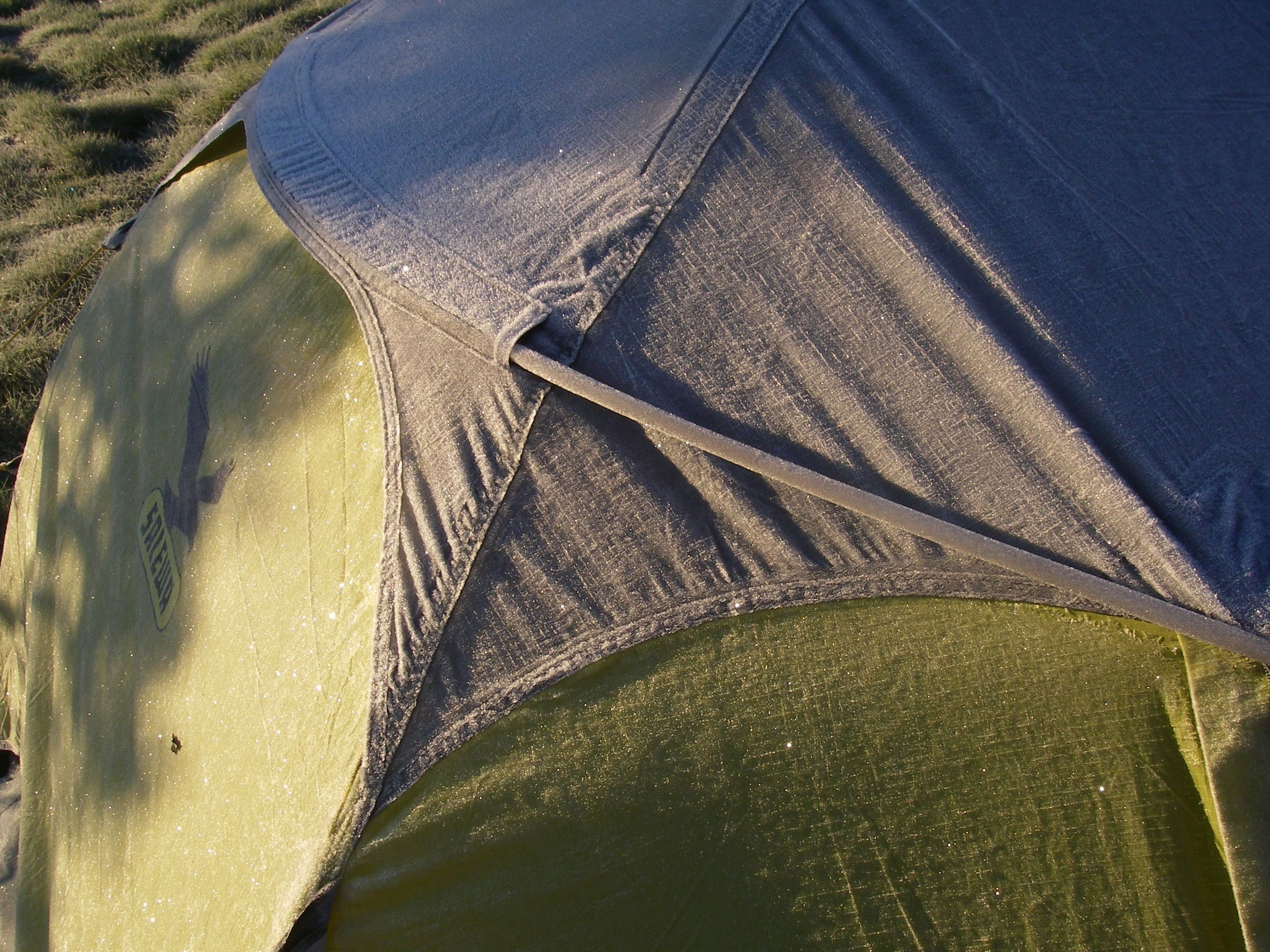
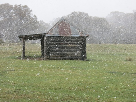
The walkers camp at Lake McKenzie is all you could wish for if hiking luxury is your thing: toilets, water, tent pads that can double up as swimming pools after a shower of rain , wooden tables , metal food/gear lockers to keep out the local fauna and the cool fresh waters of Boorangoora only a stone’s throw away. And, as a bonus, the whole campground comes without 4WDers and has its own dingo-proof fence.

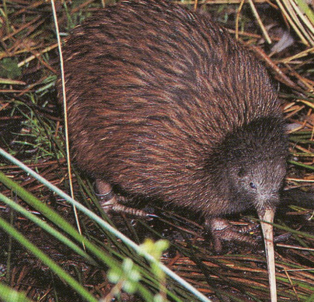
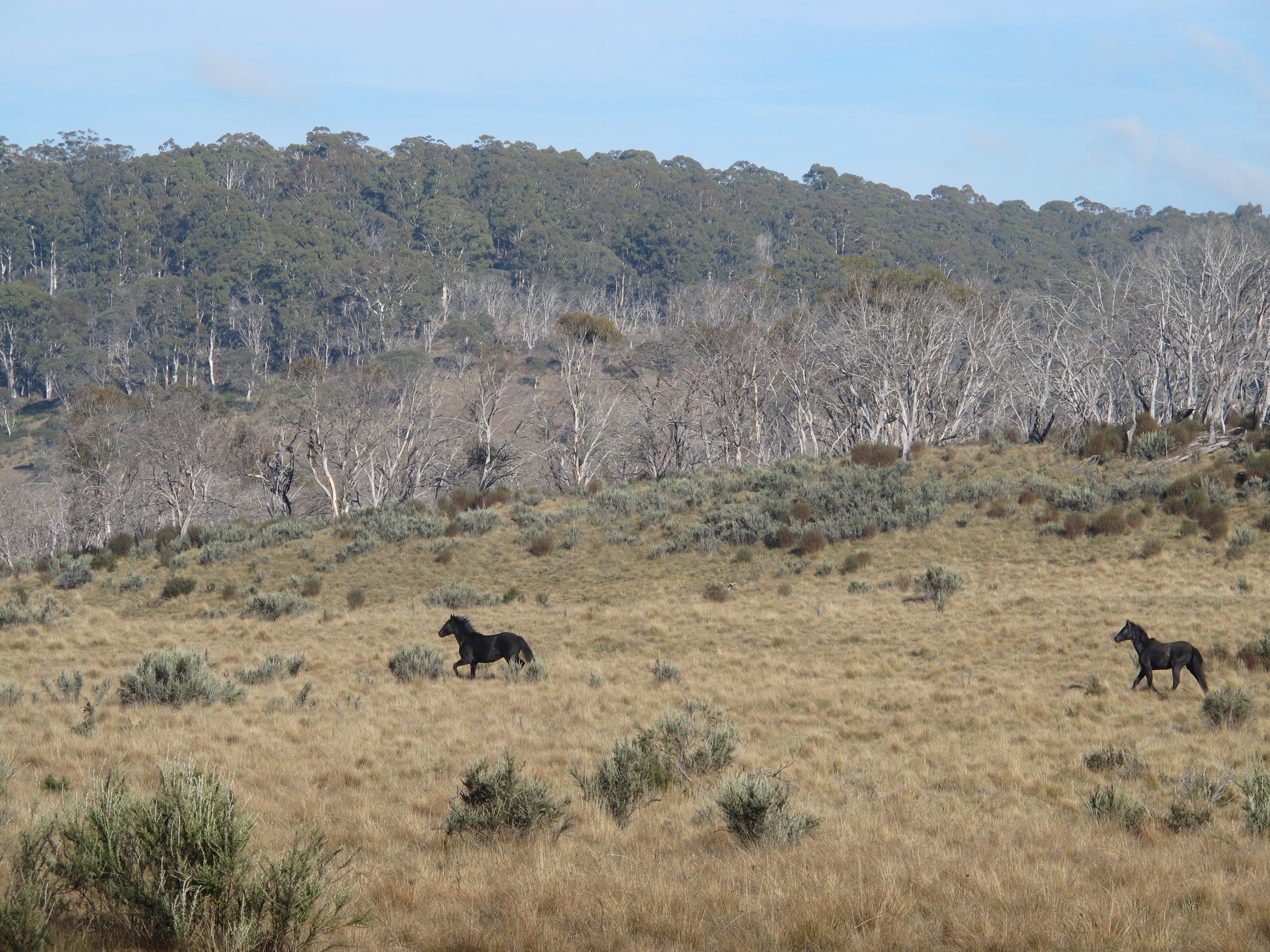
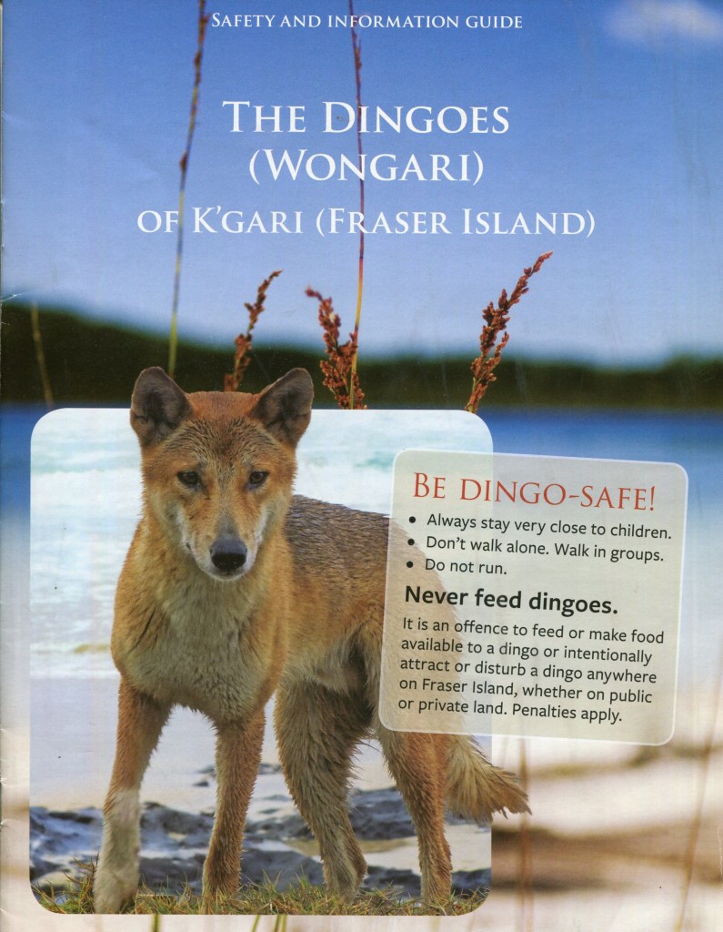
Wongari: Fraser Island Dingoes: Canis dingo.
K’gari is rightly famous for its population of pure bred dingoes and visitors are always thrilled with the sighting of a dingo in the wild. More problematic though are the direct interactions between human and dingo.
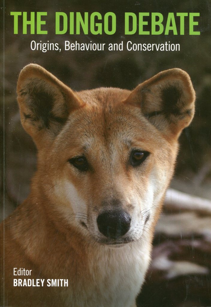
More than 20 years after the disappearance of Azaria Chamberlain from a Central Australian campground, dingoes would again hit the headlines with the death of a nine year old boy, Clinton Gage, on K’gari. Bradley Smith’s book ‘ The Dingo Debate’ has an excellent chapter written by Rob Appleby which summarises the research on Fraser Island dingoes.

K’gari has a dingo population of approximately 104 to 200 pure bred dingoes. Small mammals and marsupials as well as fish form an important constituent of their diets, not, thankfully, Homo sapiens.
The dingoes are naturally sleek animals, but they are not, as many visitors assume, hungry. The temptation to feed them, or play with them should be resisted at all costs. It is on K’gari that the most visible efforts have been made to manage the dingo-human interface.
Unfortunately, it is the dingo that comes off second best. Since 1992 the Queensland Parks Service (QPS) has culled 135 dingoes, of which only eight were sick or injured. To be fair, ‘ lethal control’ is the measure of last resort.
The QPS has developed a dingo management strategy of the ‘Three Es’: education, engineering and enforcement. Their ‘Be Dingo Safe’ campaign is considered by international experts as very innovative and world’s best practice.
The main engineering solution is the widespread use of high dingo-proof fencing around sources of food such as campgrounds and resorts: Kingfisher Bay, Eurong and Happy Valley. Enforcement usually involves the issuing of Penalty Infringement Notices (PINs).
Very few of these go to court. But in one very highly publicised case, a wildlife photographer cum dingo campaigner was fined $ 40 000 for multiple breaches. The general principle is one of visitor education.
With numerous such dingo warning signs everywhere, I deemed it politic to unearth my copy of the Queensland Parks Service brochure: ‘Be Dingo Safe! Did you know that dingoes can open tent zips and failing that, rip open tents, mesh screens, and tarpaulins.
They have been known to break into iceboxes ( eskies ) and those ubiquitous cheap plastic bins. I was further warned that dingoes will eat anything: lollies, soap, tents, toothpaste and even hikers boots.
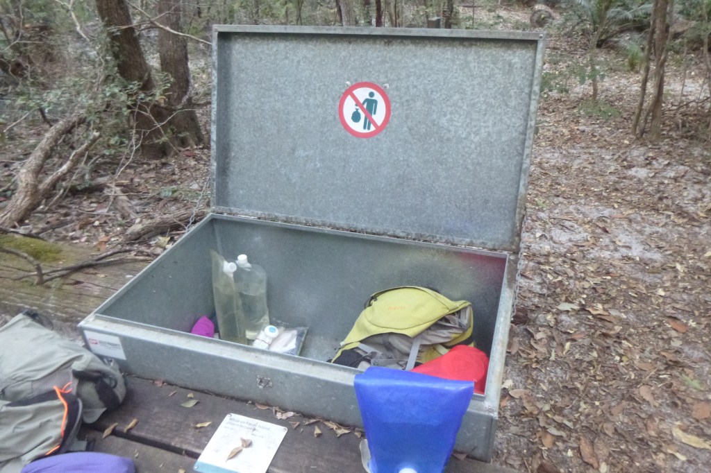
Thus, in this era of duty of care bushwalking, the Queensland Parks Service had thoughtfully provided a two metre high dingo-proof fence as well as metal doggy and native mice proof bins to store overnight gear.
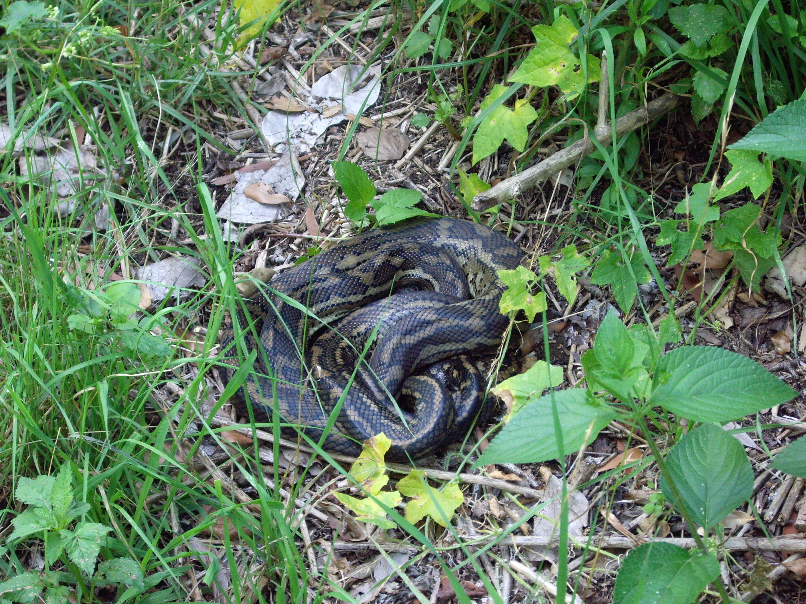
Meanwhile, back in the walkers camp, hysterical screaming about snakes came from a nearby tent site. This prompted me to check that I had fully closed my tent’s mesh entrance. I’ve never had a guest snake in my tent… marsupial mice, mosquitoes, leeches, ticks, March flies even a quoll, but never, thankfully, a snake.
Further inquiries revealed that it was just a modestly sized carpet python. In due course it slithered off and transferred it’s unwanted affections to the table immediately adjacent to my tent.
My reptilian mate hung around most of the night, finally scoffing down a squealing Antichineus in the early hours of Friday morning. Come daybreak it had vanished into the undergrowth.

Friday: Boorangoora / Lake McKenzie to Lake Benaroon via Tawhan / Basin Lake : 15 kms.
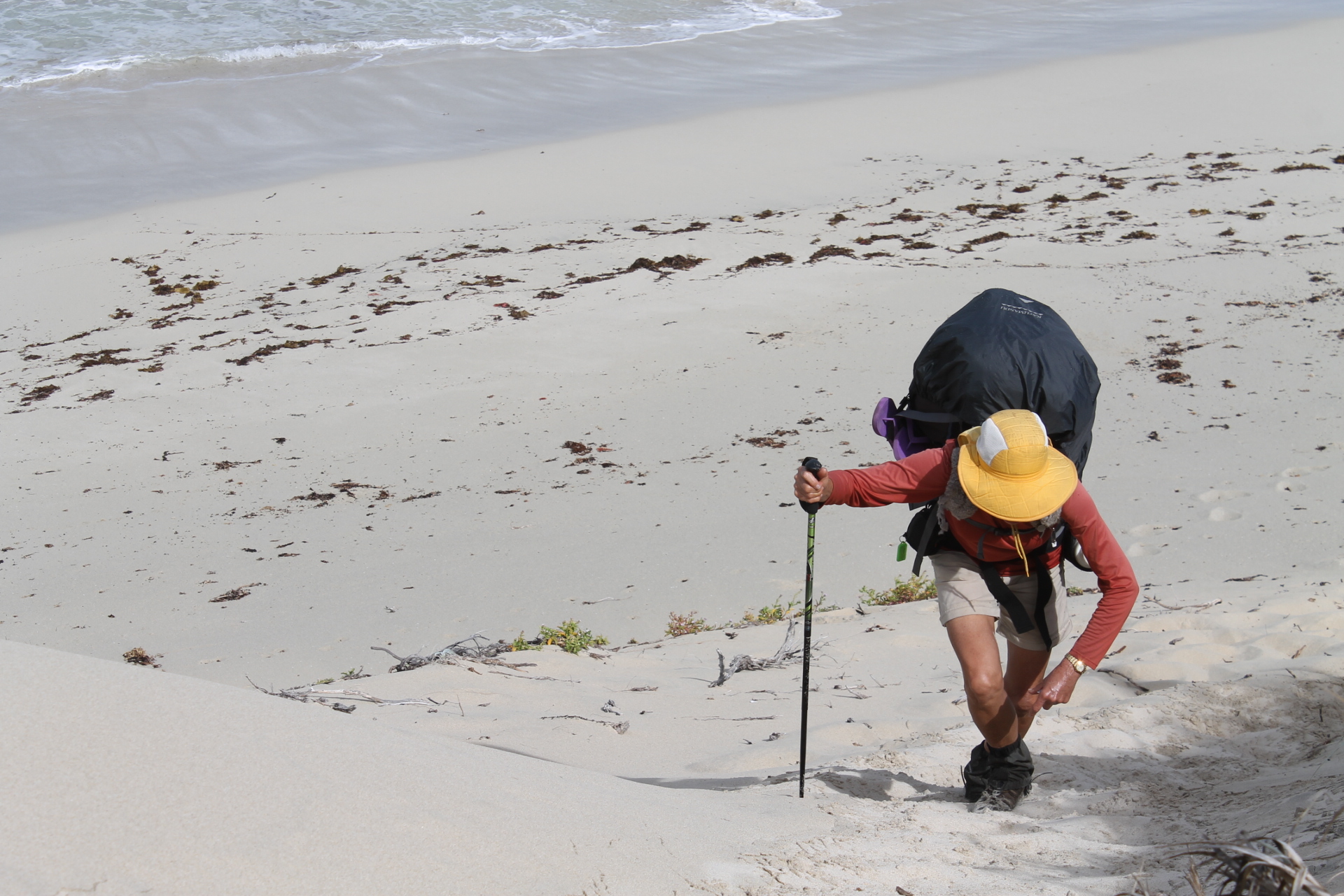
Our early morning routine was immutable. A bit of preliminary in-tent packing, change back into the already putrid hiking gear and finally emerge into the crepuscular dawn. A quick brew, a bowl of porridge, a final pack and we were on our way. Usually by 6.30 am. All the better to beat the humidity.
From Boorangoora some down and up brought us to Tawhan, Basin Lake, a small nearly circular lake nestled into an amphitheatre of heavily vegetated high dunes. We waddled down to check out the lake but given the early hour we passed on the swim bit. And so, a longish downhill canter delivered us to the relative civilisation of Central Station.

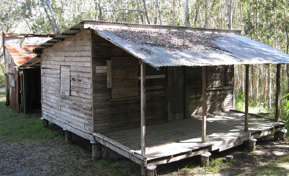
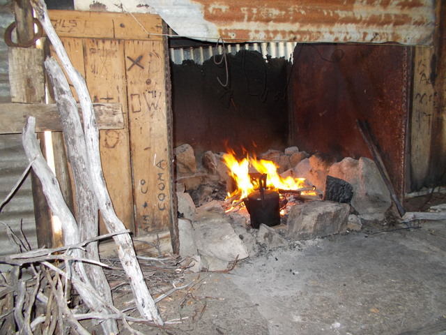
Central Station
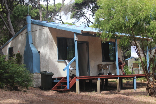
Central Station is now the main camping area for southern Fraser Island, so expect heaps of tourists . Elderly hikers and campers be warned: it has a well earned reputation as backpacker party central.
That aside, walkers and 4WDers have been spoilt by the Queensland Parks Service with treated water, flushing toilets, hot showers ( $2.00 ), decent tent pads with picnic tables and a day use area with picnic shelters, information boards, phone (old style), and BBQ’s. And, you are safely corralled behind a dingo-proof fence.

We sprawled out for our morning tea break on the shady boardwalk of Wanggoolba Creek, flowing crystal clear under a rainforest canopy of palms, tree ferns and huge trees festooned with epiphytes, vines and orchids.
A tourist magnet judging by the number of day-trippers who waddled past. Many stopped for a chat, curious about the old fellows lurking on the boardwalk with their voluminous rucksacks propped beside them.

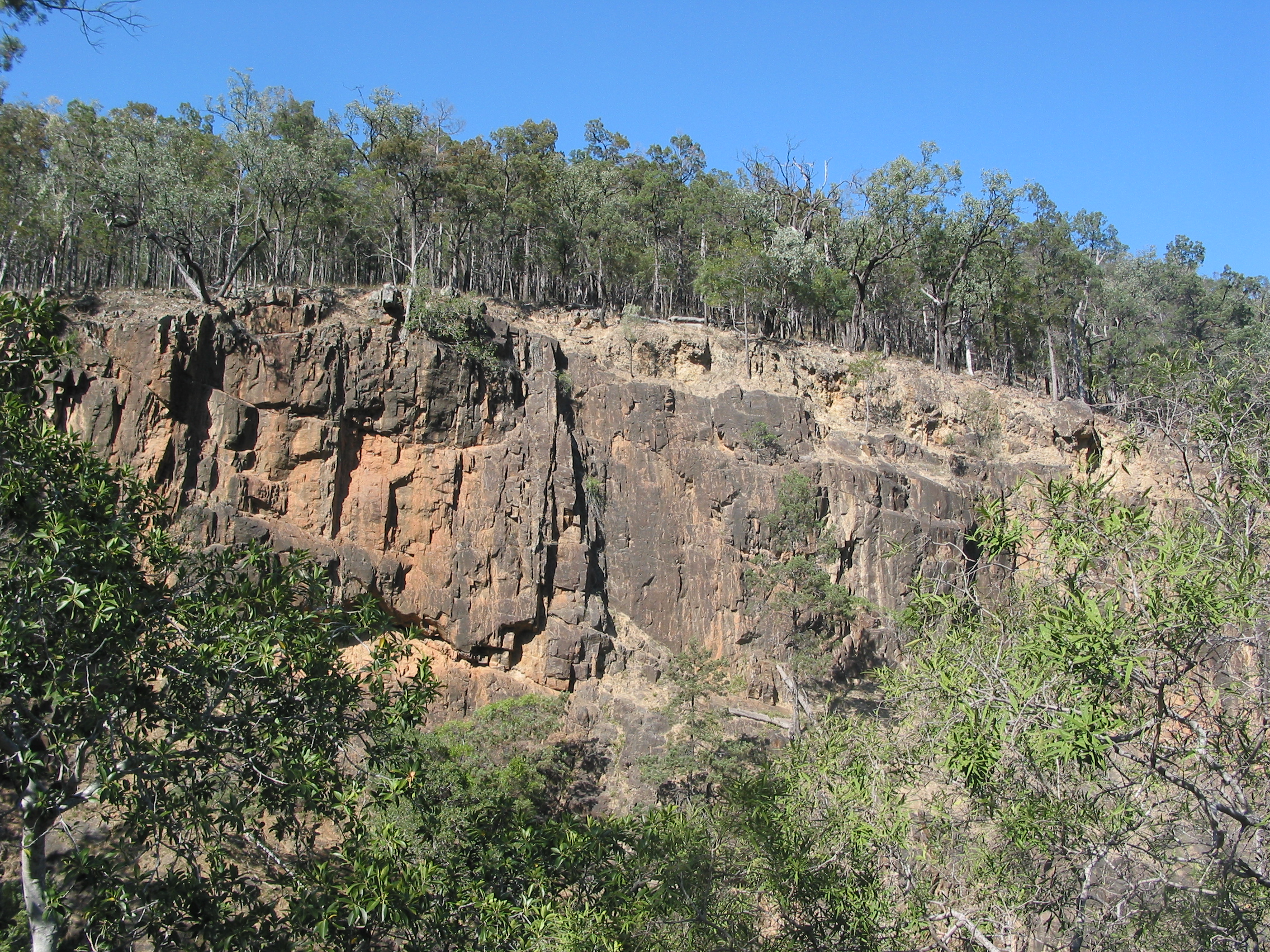
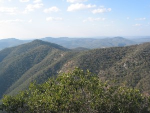
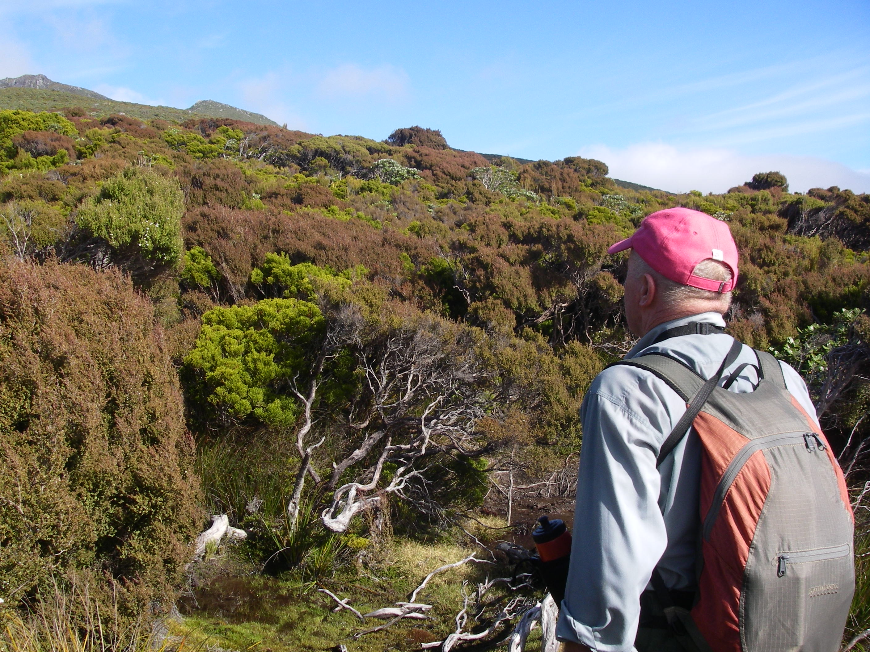
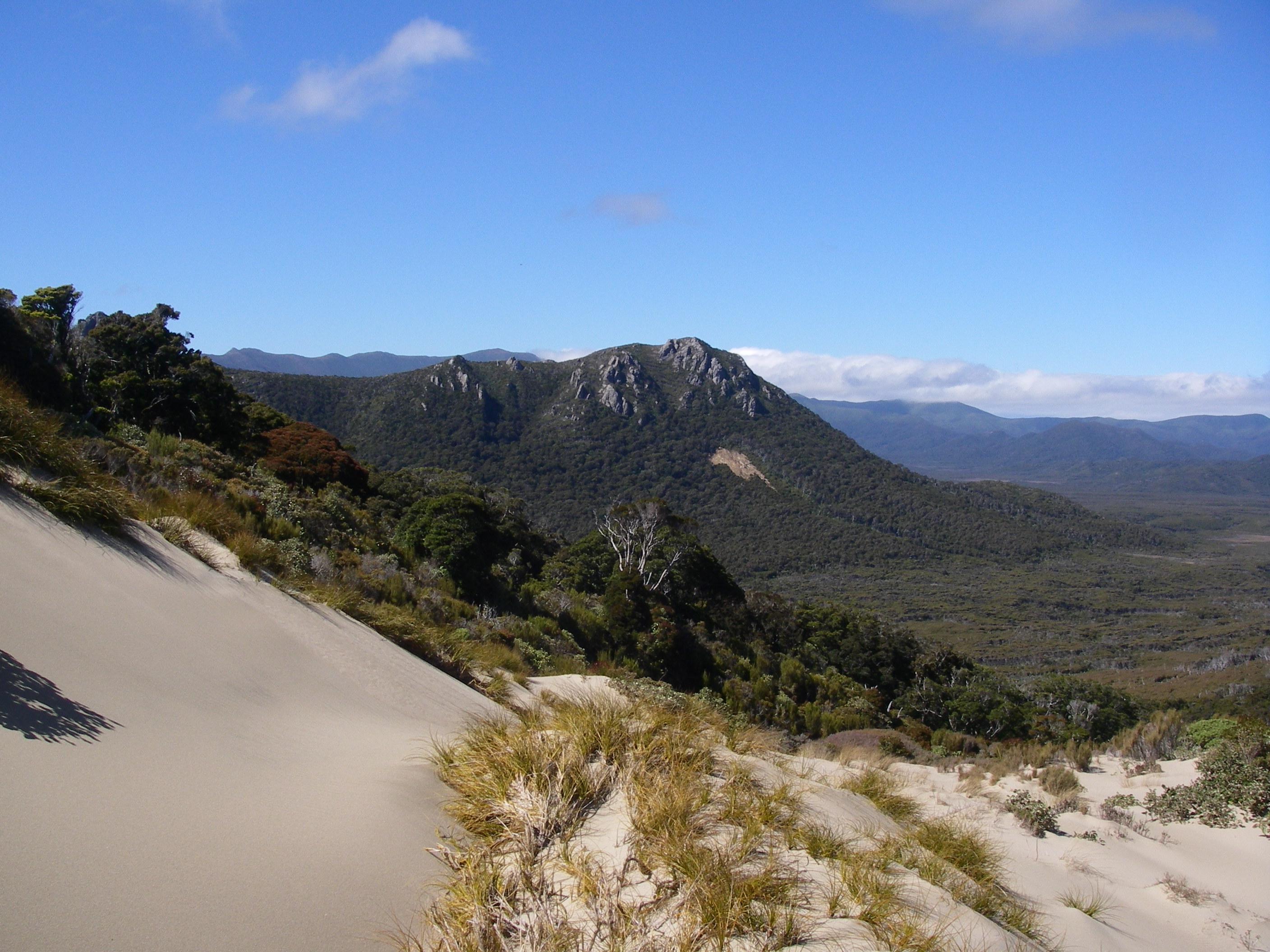
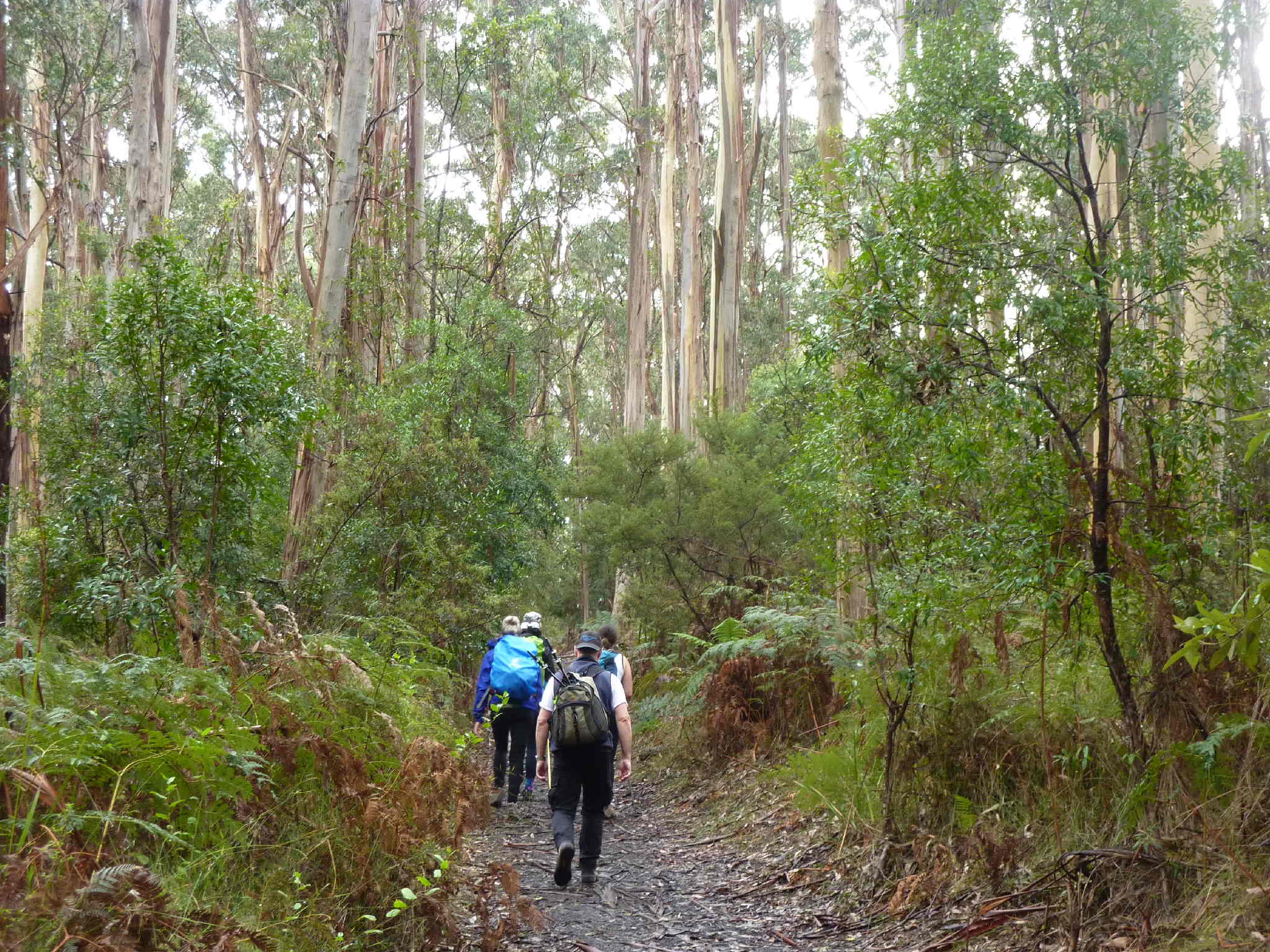
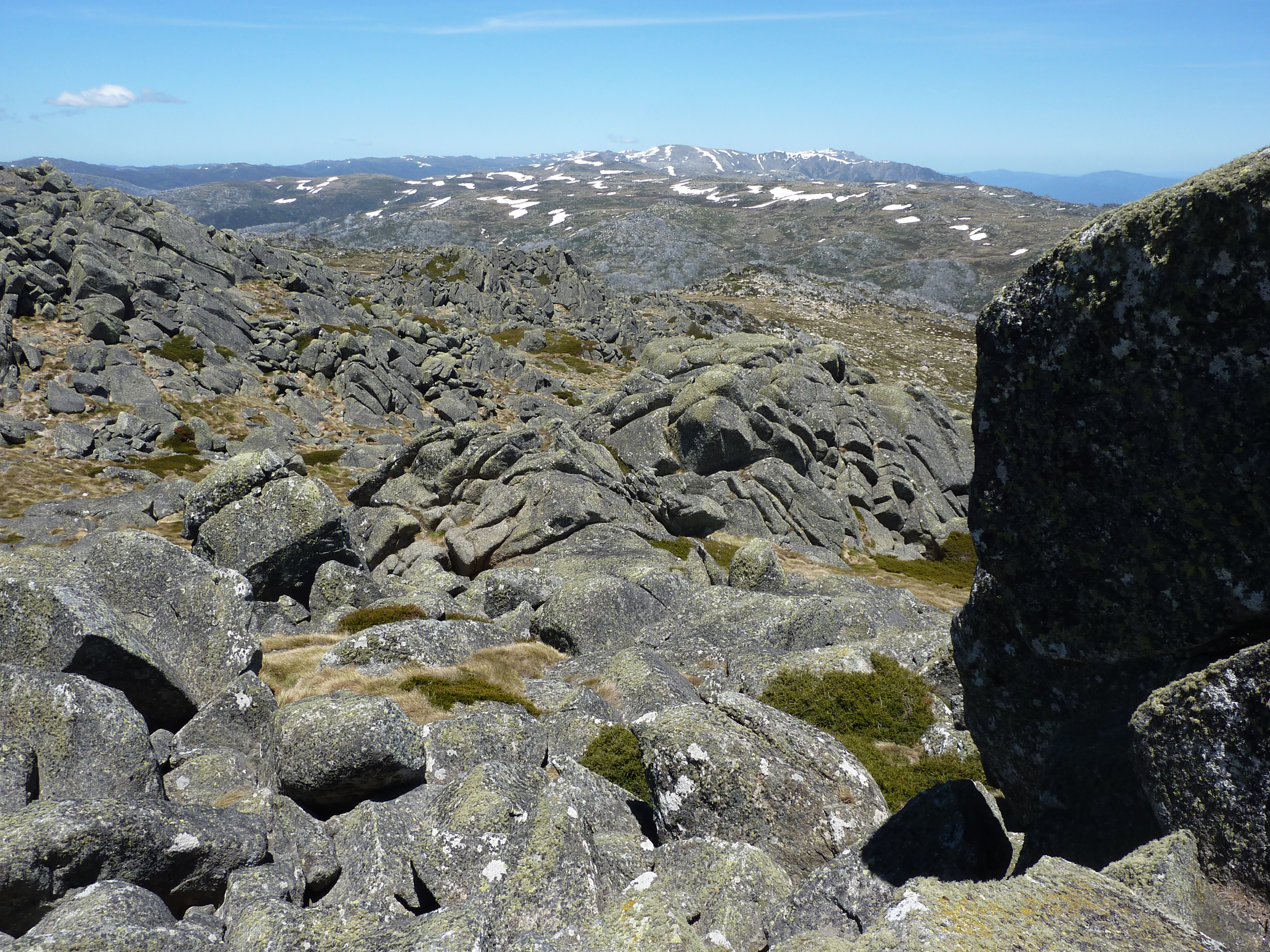
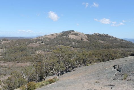
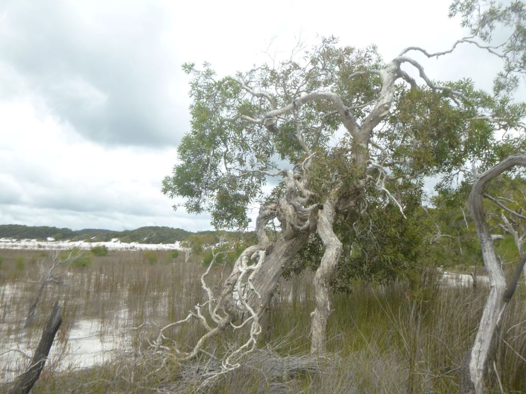
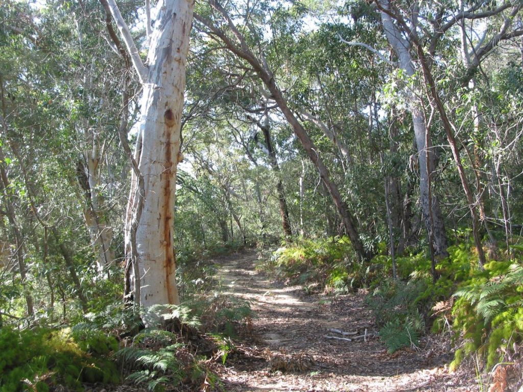
Interlude over, we shouldered our monkeys and headed south, back into the high dunes. Much of K’gari is a maze of vegetated razorback high dunes. When viewed from above many have a characteristic U or V shape.
These are parabolic dunes, having long trailing arms aligned parallel to the prevailing south – easterly winds; a real pain in the neck for those of us walking on a north-south trajectory. There were six episodes of parabolic dune building, with the oldest in the west ( 700,000 years old ) and the youngest in the east ( 40,000 years ago ). https://www.abc.net.au/news/science/2022-11-15/kgari-fraser-island-age-links-to-great-barrier-reef-formation/101638104 They reach their highest point at Mt Boowarrady at 214 metres.

Parabolics are relicts of ancient sandblows, which, in the Great Sandy Region have been stabilised by old growth rainforests and eucalypt forests. K’gari also has a large number of non-vegetated, active sandblows: the significent ones in the Southern Lakes District include Dulingbara, Hammerstone and Wongi sandblows.

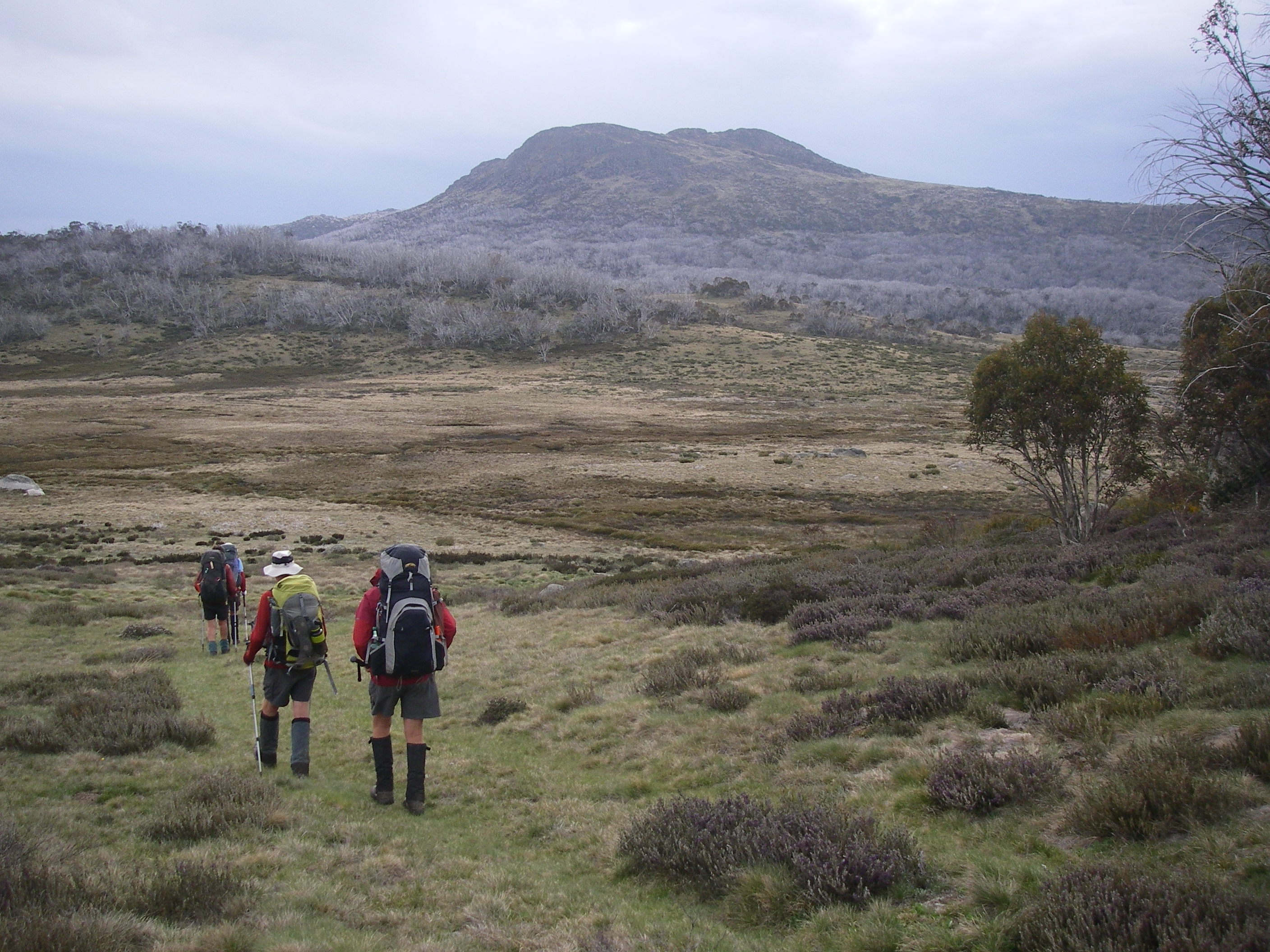
Often, more frequently than I would like, a day’s walk on K’gari degenerates into long, steep slogs to a dune crest then a brief respite along the dune top, followed by the eagerly anticipated descent into the next swale. Oddly, John preferred these uphill trudges while Joe and I cussed along in his wake.
A Landscape of High Dunes and Lakes: The Bogimbah Dune Land System.
Our route for the remainder of the day took us past more perched lakes: Lake Jennings, Lake Birrabeen, finally coming to roost in the Benaroon Walkers Camp.
This high dune and lake landscape is part of the Bogimbah Dune Land System which occupies a considerable part of central K’gari from Lake Bowarrady in the north southwards to the Sandy Strait. It contains the best of the lake scenery as well as the successive waves of huge Pleistocene parabolic dunes which now form the highest part of the island.
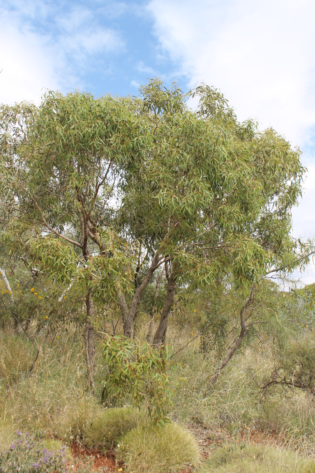
The vegetation cover is almost entirely tall forest dominated by Blackbutt (Eucalyptus pilularis), Red Mahogany (E. resinifera), Satinay (Syncarpia hillii), Tallowwood ( E. microcorys) and Brushbox (Lophostemon confertus). The Bogimbah system also encompasses virtually all of K’gari’s rainforest.

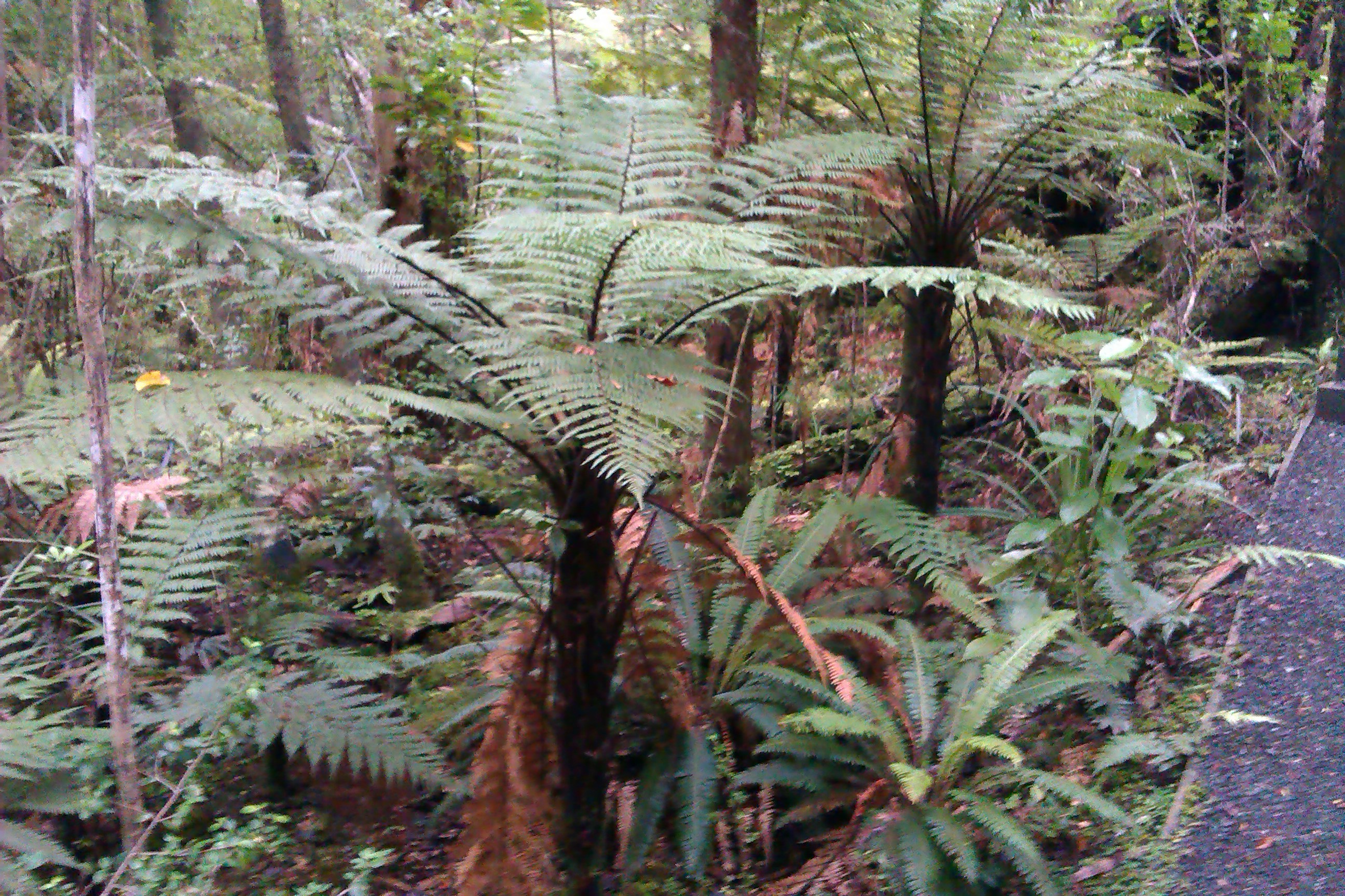
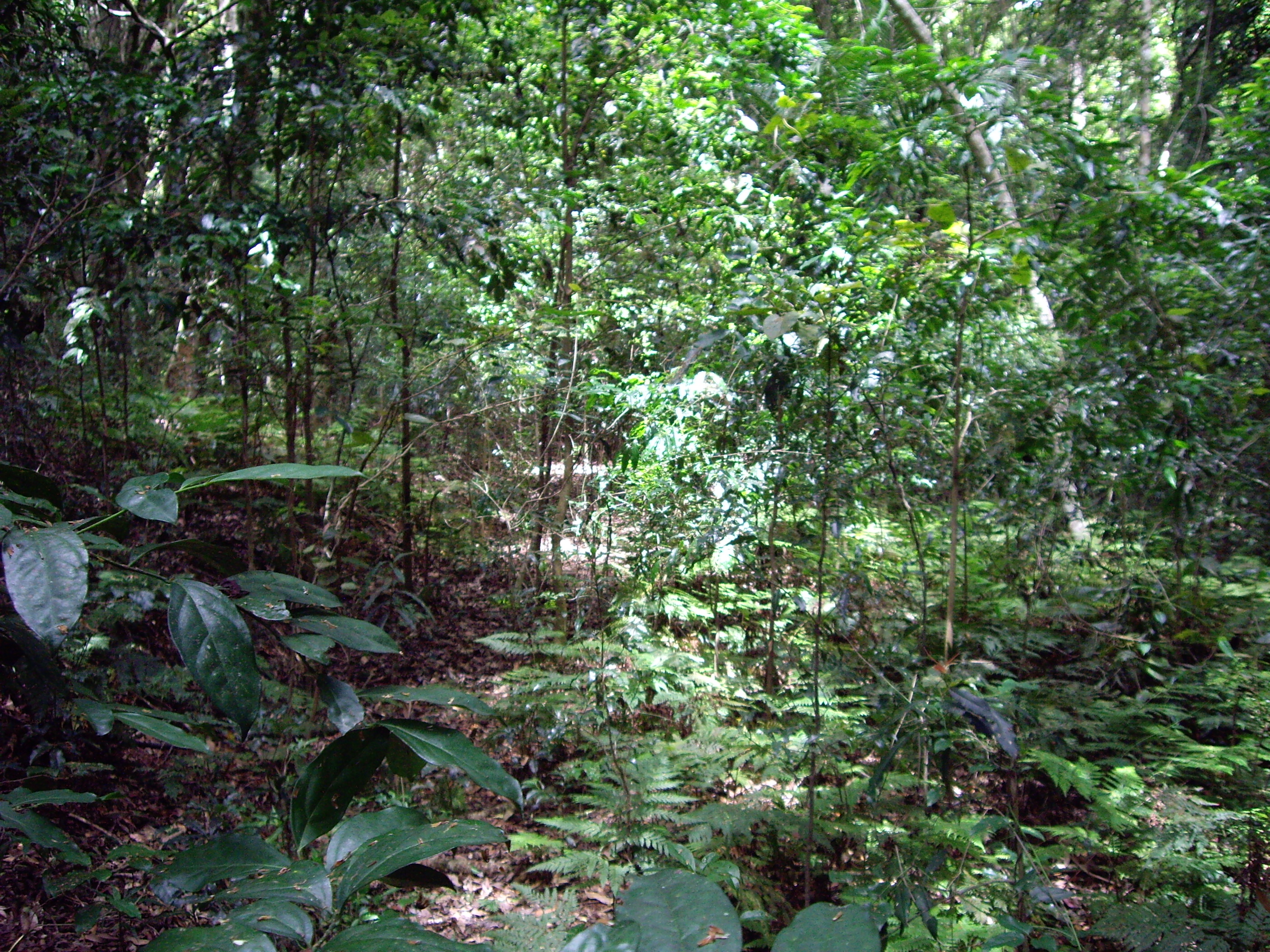
The sub-tropical rainforests occupy the swales between dunes and are characterised by tall closed forests with a diversity of species and structural elements.
The canopy trees are Satinay (Syncarpia hillii), Brushbox (Lophostemon confertus), Hoop Pine (Araucaria cunninghamii), Kauri Pine ( Agathis robusta ), Strangler Figs ( Ficus sp. ) and Piccabeen Palms ( Archhontophoenix cunninghamiana).
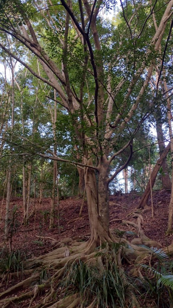


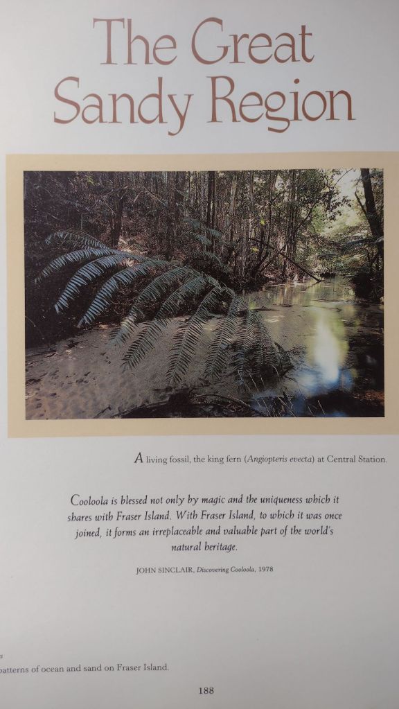
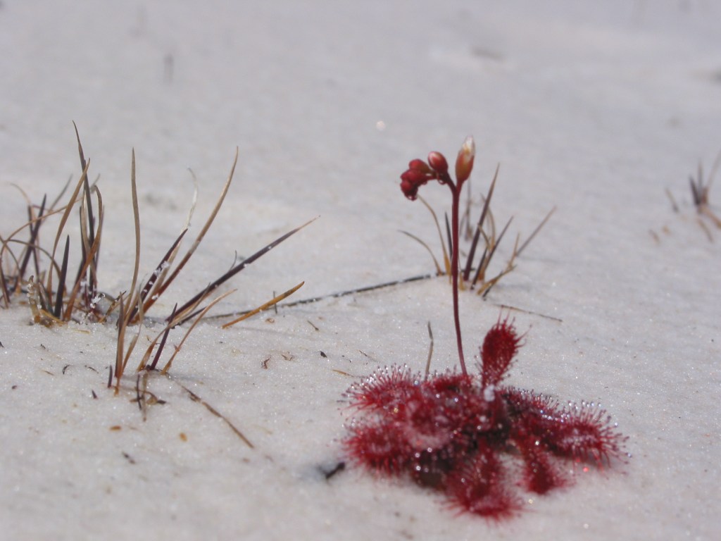
Understorey plants include Tree ferns ( Cyathea sp. ), Climbing Pandanus ( Freycinetia arborea ), King Ferns ( Todea barbara ) and a variety of epiphytes. One understorey plant which I was pleased to find was Giant Fern ( Angiopteris evecta ), which grows to five metres tall and although uncommon in South East Queensland, it is also found in moist side gorges of Carnarvon Gorge in Central Queensland.

Lake Benaroon.
Benaroon Walkers Camp was deserted. No fellow walkers , no dingoes, and alarmingly, no dingo fencing. But I did find snarling dingo warning signs on the toilet door. Pretty unkind to dingoes I always think.

Tent up, I drifted off in search of my well-earned refreshing dip. The shallow tannin-stained waters of Benaroon didn’t oblige. I managed a half-hearted semi-submerged wash down but a decent swim wasn’t on offer.


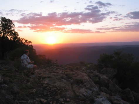
With a hazy sun setting in a blood red western sky, our thoughts turned the plumes of smoke we had seen over the north of K’gari on our first day. The bush fire was obviously still burning, hopefully still well to our north. It would burn uncontrolled for several more weeks.

The 2020 summer bushfire on K’gari.
A major bushfire started on the 14th of October, 2020 , when an illegal campfire torched bushland in the island’s north. It was still burning and spreading when we left K’gari .
It went on to incinerate 82,00 hectares, nearly half the island. Add to that another 13,500 hectares of bushfire damage in 2019 and these wildfires have had a major impact on this World Heritage listed estate.

The 2020 fire came close to damaging major infrastructure at Cathedral Beach Campground, the village of Happy Valley and Kingfisher Bay Resort. So serious was the situation that K’gari was placed off-limits to tourists.
At its peak a massive response of 87 firefighters, 9 supporting aircraft, a large aerial tanker and 36 vehicles still were unable to get it under control. Given the dangerous cocktail inaccessible terrain, hot, dry northerlies, this was hardly surprising .
The fire was finally brought under control by an intense rain event associated with an upper air trough on the 13th of December 2020. Sixty two days after it had ignited.

Saturday: Lake Benaroon to Markwell’s Break via Lake Boomanjin: 8 kms.
Today’s walk would see us exit the Great! Walk system at the northern end of Lake Boomanjin and turn onto a fire trail known as Markwell’s Break, following it north towards Lake Wabby.
We planned to collect water at Bridge Creek on Markwells allowing us to camp several more kilometres along the break. Placing us closer to Wabby for tomorrow’s walk. But more of that plan later.
Meanwhile, the seven kilometre track to Boomanjin climbs gradually up a high dune to top out at 150 metres. From here it gently winds down the trailing arms through tall forest to reach the wide sandy beach of Lake Boomanjin.
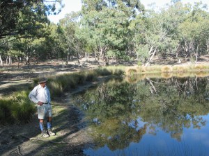
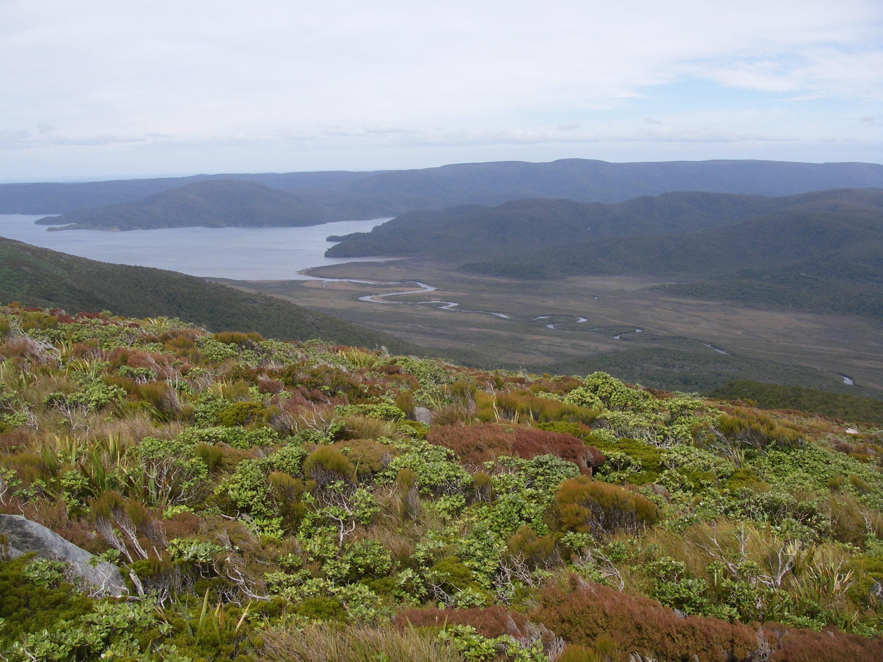
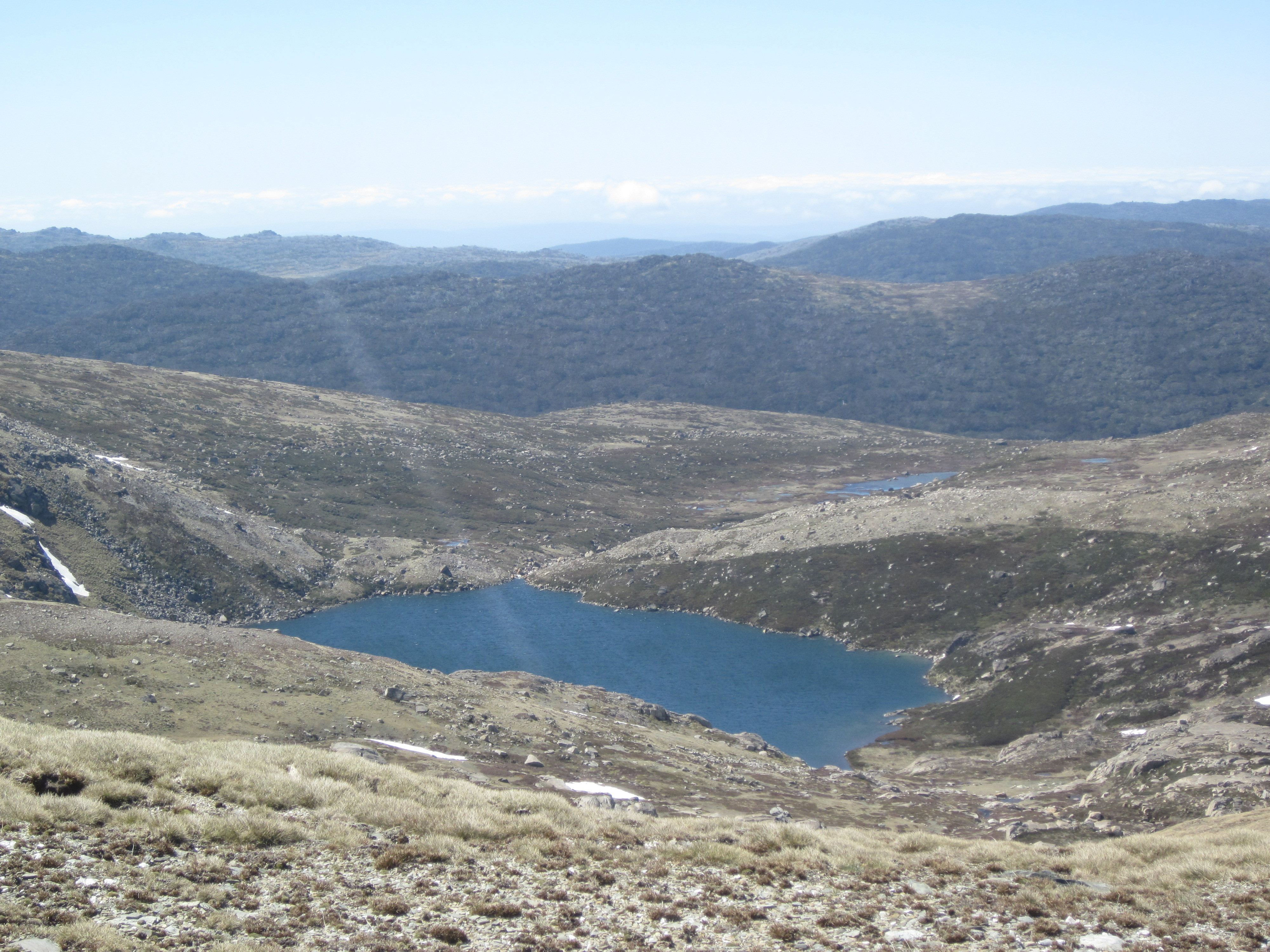
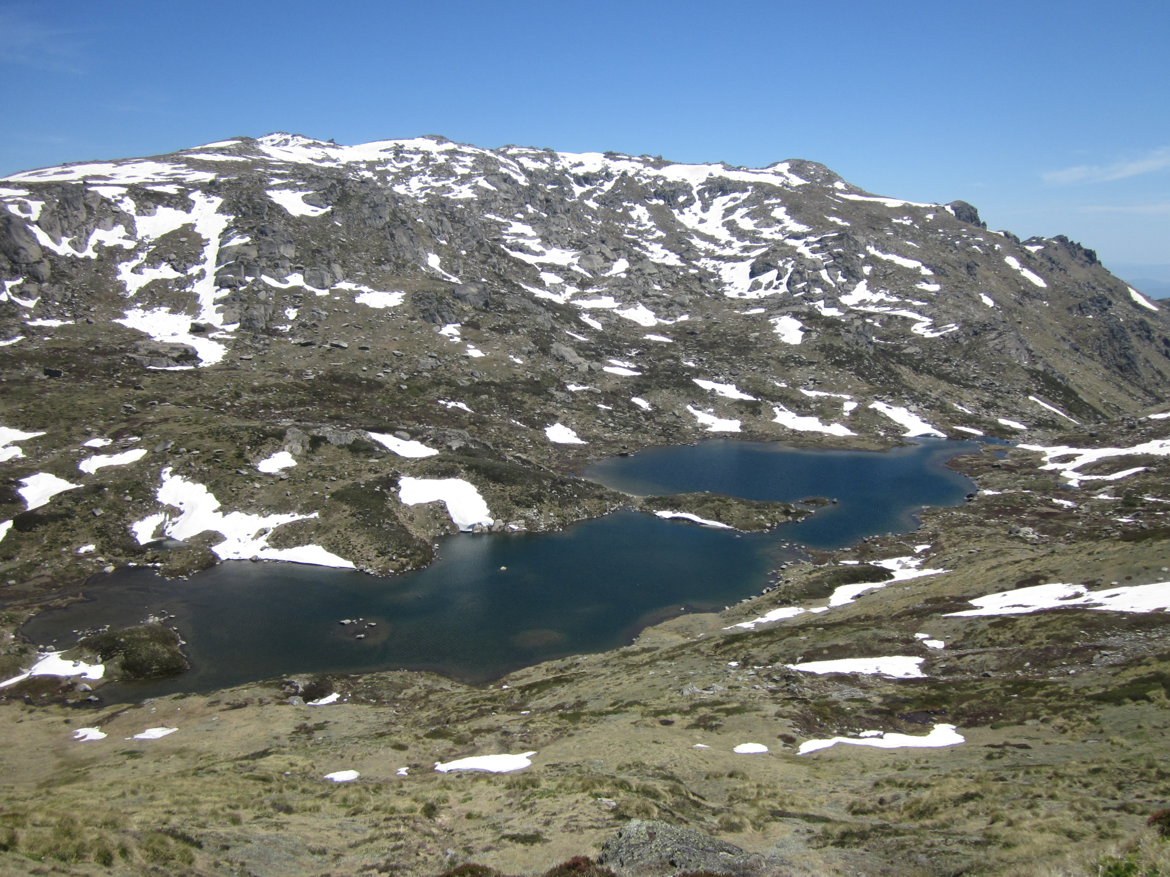
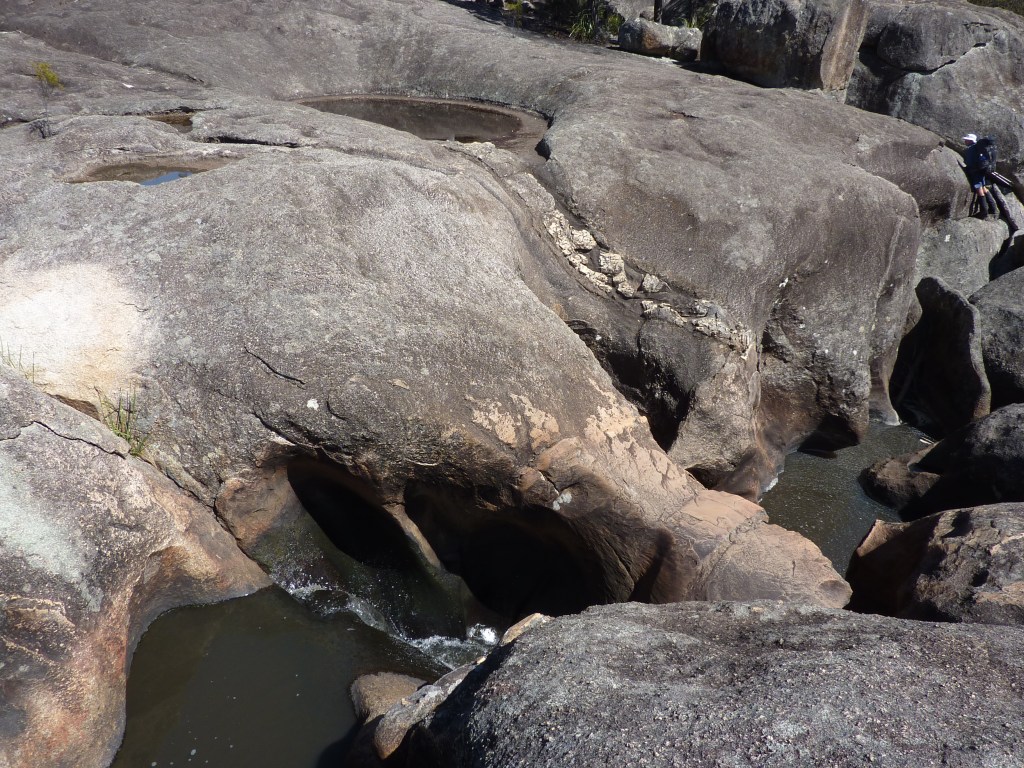
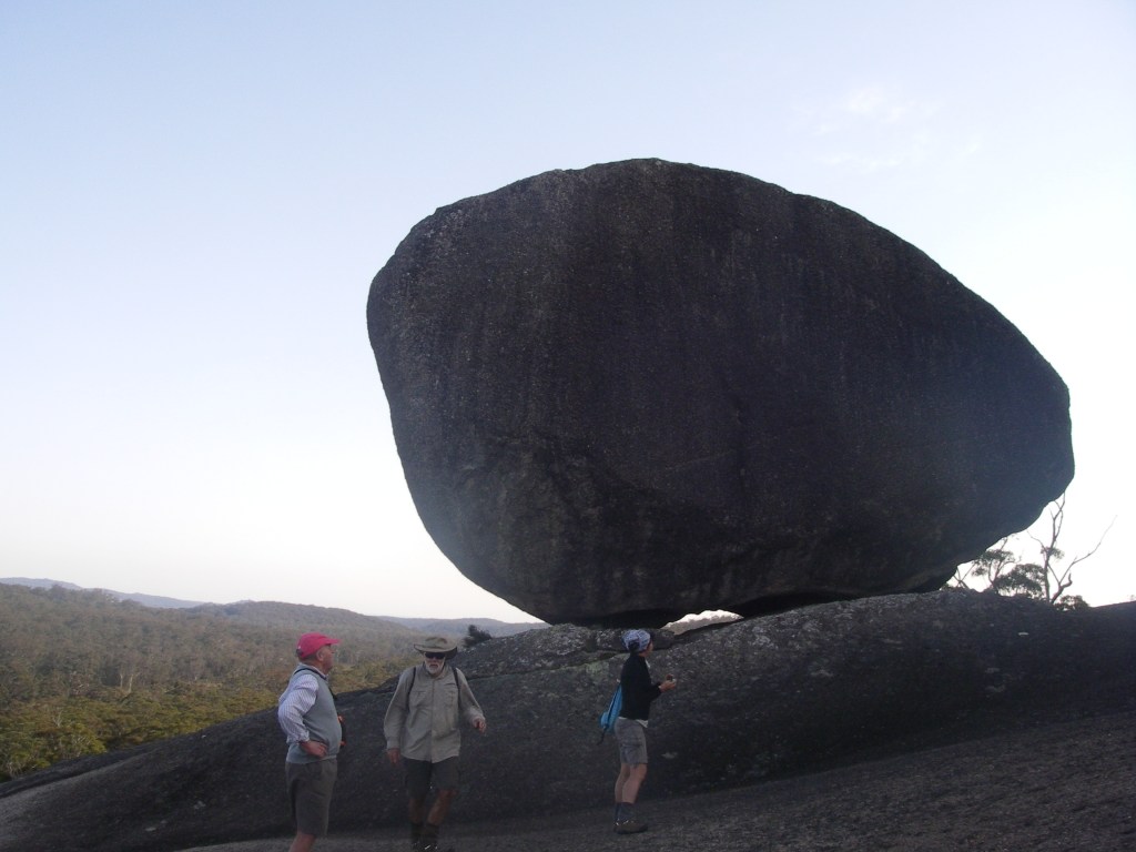
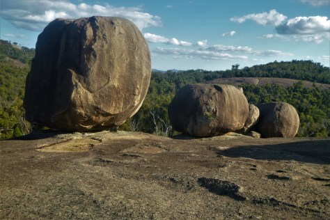
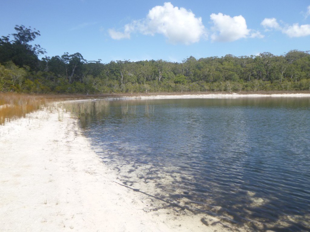
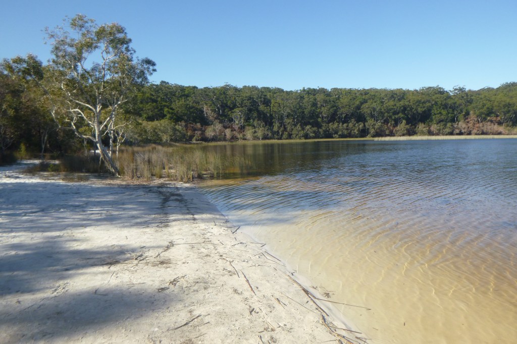
Lake Boomanjin: the world’s largest ‘perched’ lake.
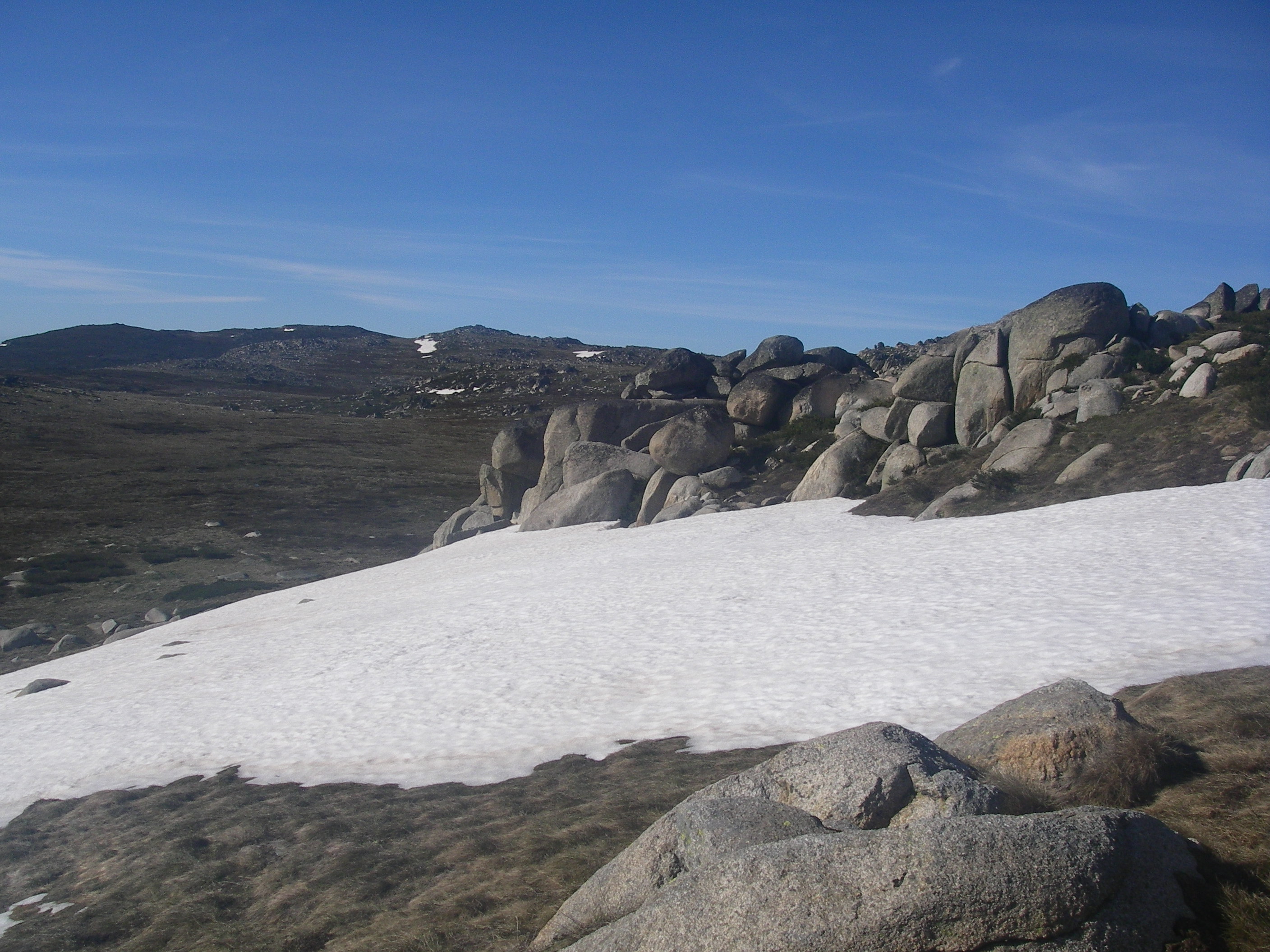
Most of the freshwater lakes south of Lake Bowarrady are examples of perched lakes. That is, the water in the lakes is held at an elevation in the dune well above the island’s general water table, often 100 metres or more above the water table.
Over time, the normally highly permeable sand has been cemented by organic material washed in by feeder creeks and swamps. Eventually the cemented sand becomes an impervious humate rock which captures any inflowing water. There are very few perched dune lakes elsewhere in the world outside Queensland’s Great Sandy Region, so it was a privilege to see them.

At 200 hectares Boomanjin is reputed to be the largest perched lake in the world. Its deep brown colour comes from the organic tannins leached from the swamps on its northern and western shores. With its Melaleuca-lined shores and white sandy beaches it is easily one of the most photogenic lakes on K’gari.
Other types of lakes on K’gari are water window lakes ( most of the lakes in northern K’gari ) and barrage lakes ( Lake Wabby ).

But to return to the sands of Boomanjin. We spent a very pleasant hour rattling around on its northern shores; John chasing birds while Joe and I found a shady nook to enjoy morning tea and the cooling breeze wafting off the lake.
John reappeared in due course and here we peeled off the Great!Walk track system and lumbered up the 100 metre altitude gain onto the high dunes of Markwells Break. Our destination was Bridge Creek , two kilometres hence, where, in theory, we would collect water for the afternoon and drag it to our overnight camp several more kilometres along Markwell Break.

Naturally there was no water. John volunteered to thrash off into the manky vegetation downstream looking for the precious water. To no avail. Slow learners…Never trust depictions of perennial and non-perennial streams on Australian maps.
There was no choice but to return several kilometres to Boomanjin, collect water and climb back up onto the high dunes of Markwells Break. But not before lodging our rucksacks high up in some Allocasuarinas, safe from the predations of any passing dingoes.

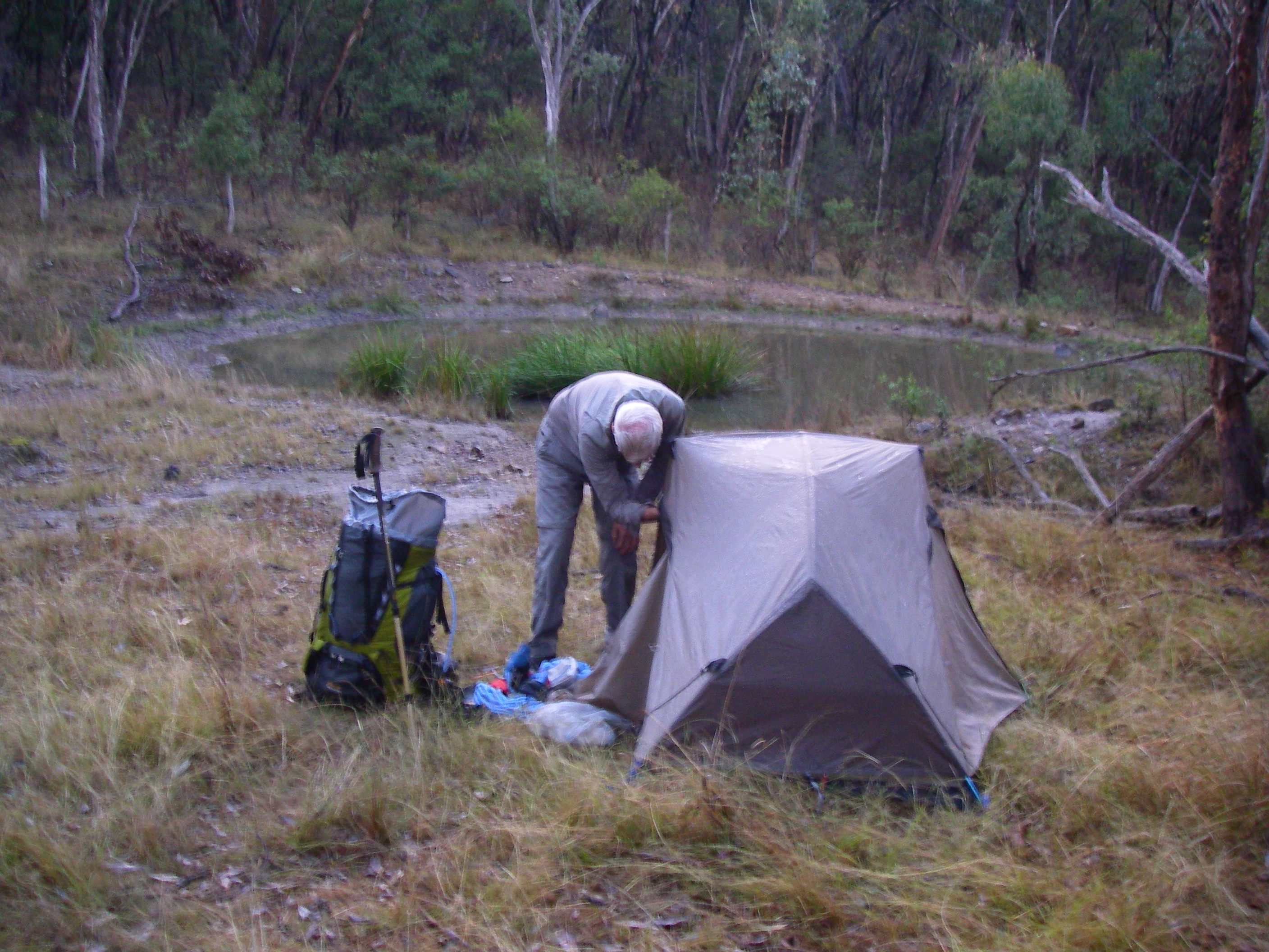
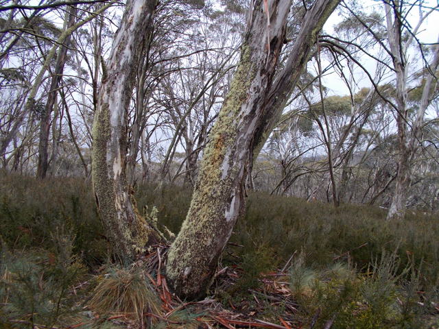
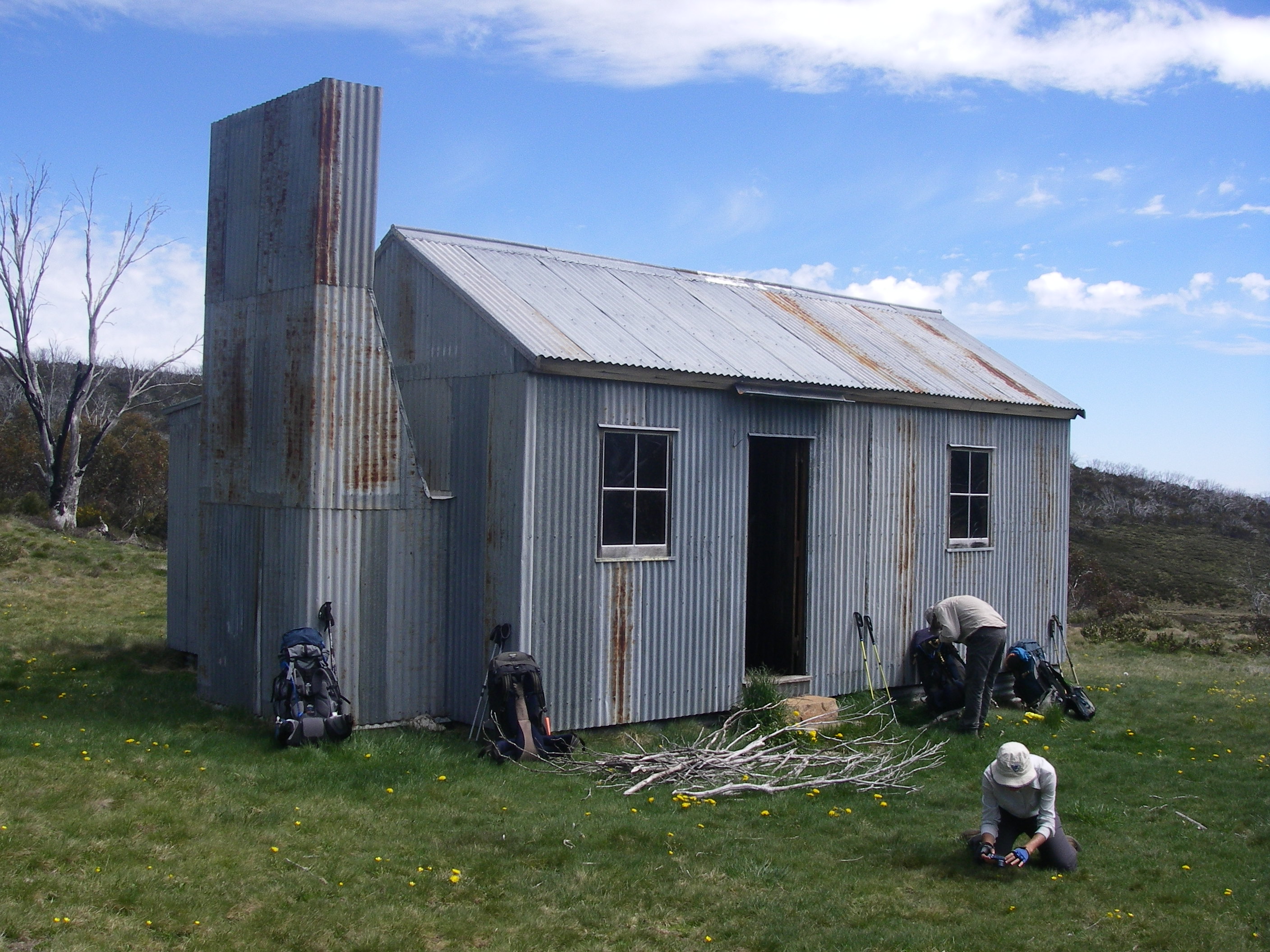
We carted our watery cargo back up Markwells and set about pitching tents under a threatening sky. This was a great campsite; while lacking the mod cons of the walkers camps it was, by far, my favourite campsite of the trip. High in the dunes set in a Banksia and Scribbly Gum woodland.
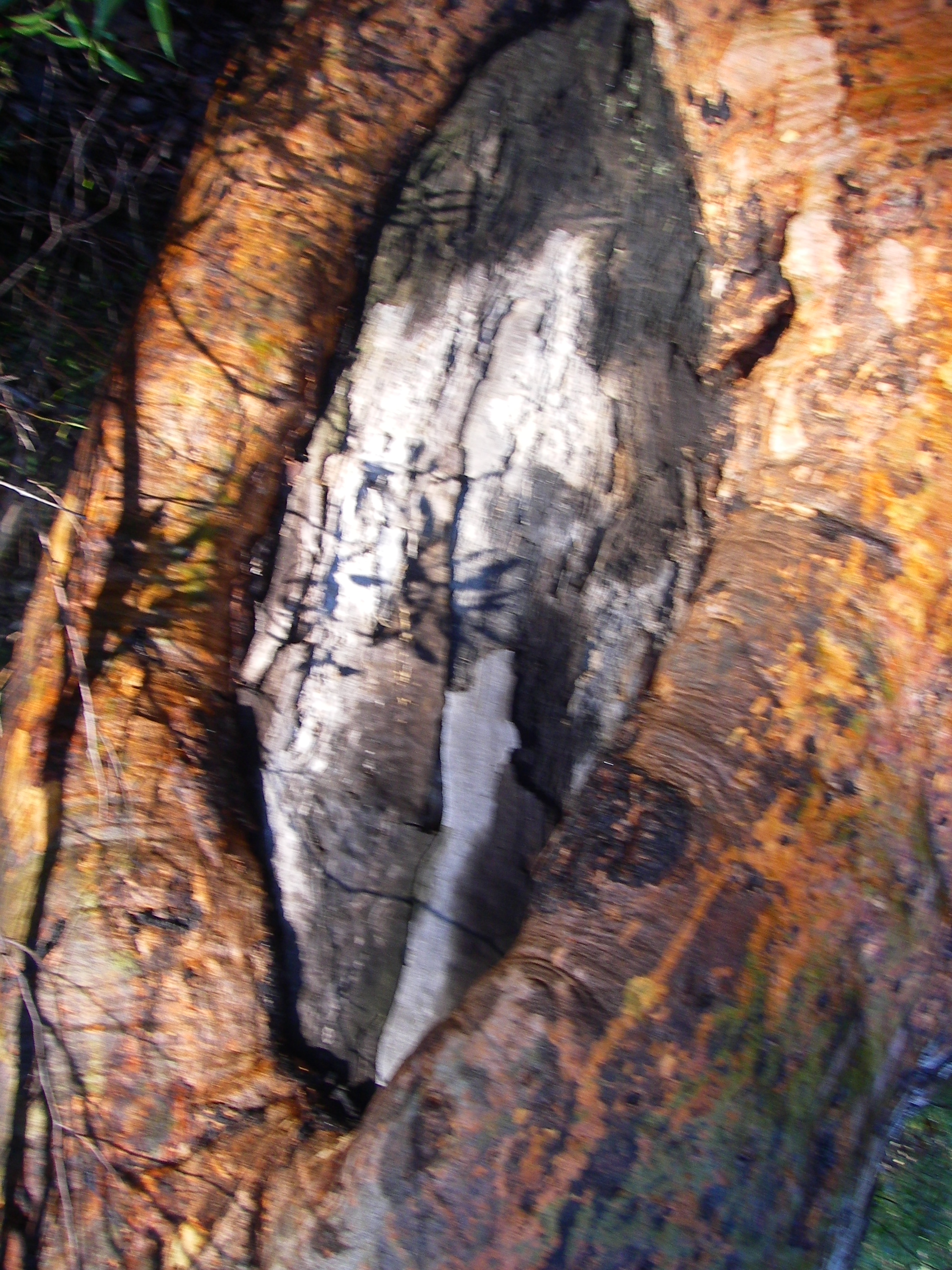
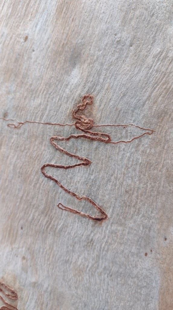
The Scribbly Gum: An Australian Icon.
For many years the scribbles on the smooth-bark Eucalypts intrigued field naturalists, writers and bushwalkers. It was thought that the scribbles were caused by the larvae of a beetle.

In the 1930’s , Tom Greaves, a CSIRO entomologist, discovered the larvae of a small moth were responsible for the scribbles on Eucalypts in the Brindabella Ranges near Canberra.
Specimen moths were sent to the UK for identification and a new genus was established, Ogmograptis, and the moth was named Ogmograpthis scribula. CSIRO scientists discovered that there are more than one moth responsible for scribbles; currently the number is 14, with many more to come.

The larvae bore tunnels in the outside tissue of the tree’s trunk. The caterpillar then eats its way back along the tunnel, leaving the tree to spin a cocoon at its base where it pupates.

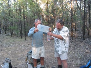
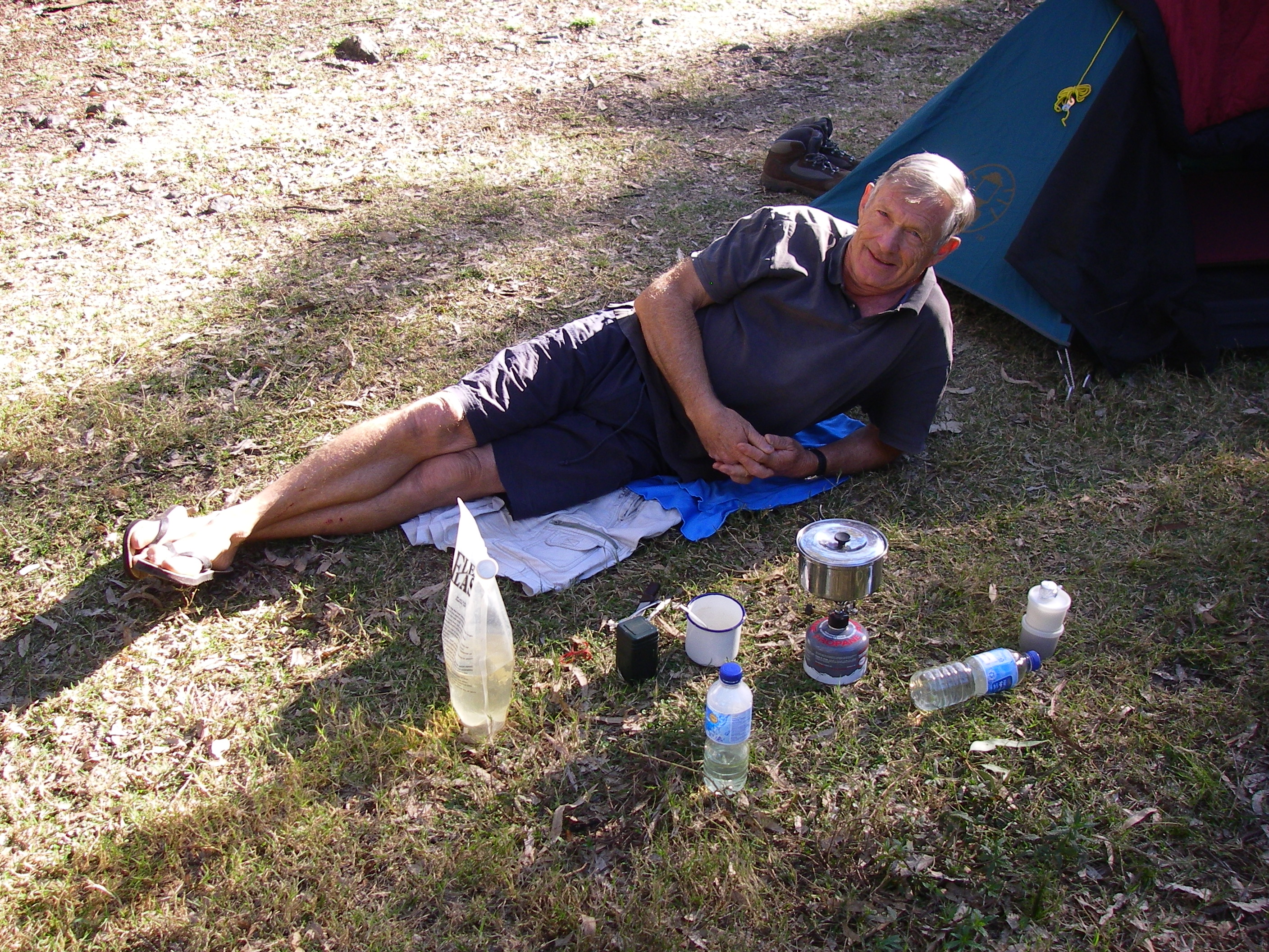
John disappeared on one of his avian missions while Joe and I made short work of our ever dwindling rations. I treated myself to a Back Country pouch of roast beef, mashed potato and veg while Joe savoured one of his delectable home-made dried concoctions: risotto, mushroom, garnished in white wine. Joe is a handy chef, both in the home kitchen and out in the bush.
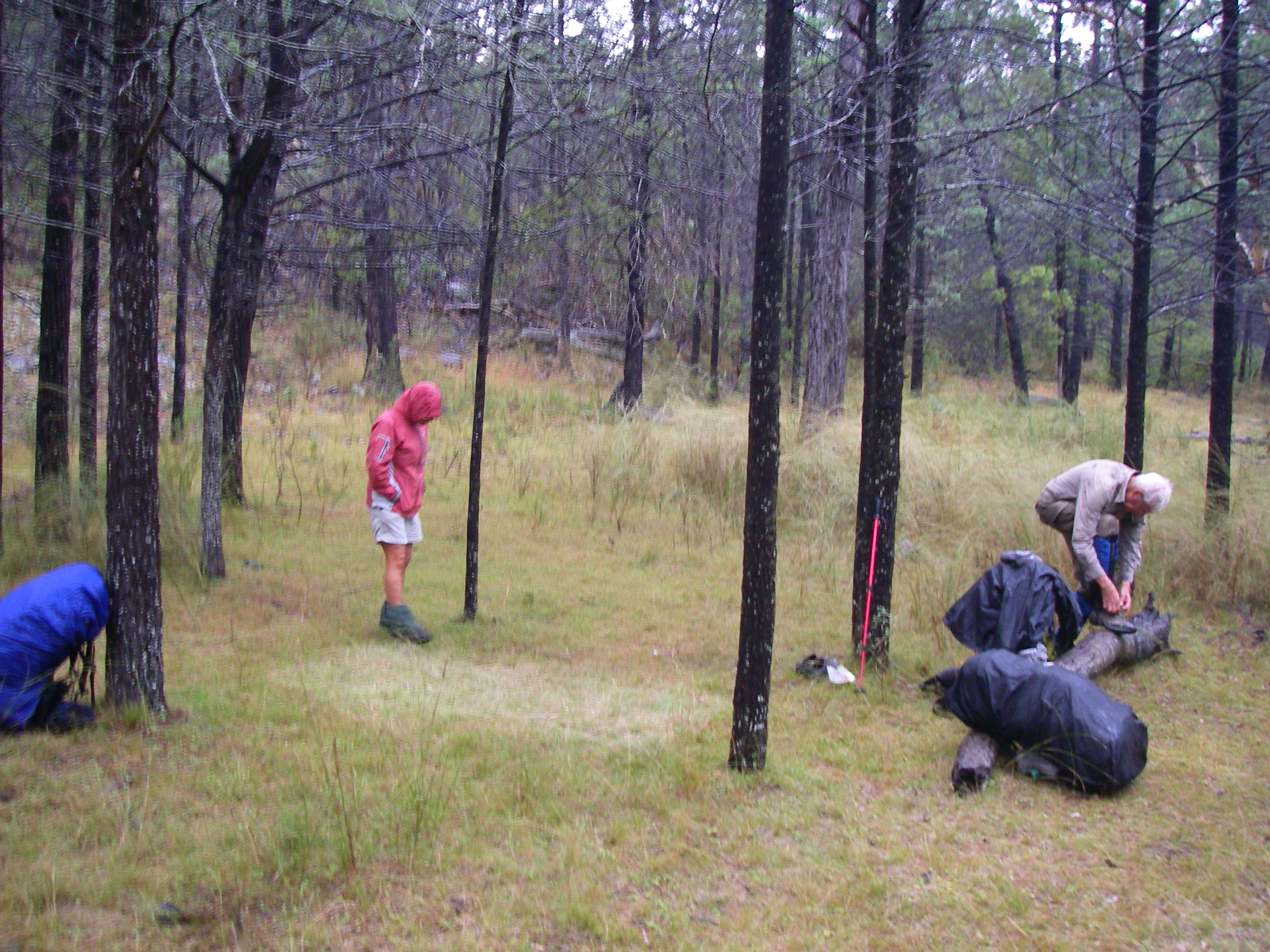
On dusk a light sprinkle of rain drove us into our tents for the duration.
Sunday: Markwells Break to Central Station: 16 kms.
Twelve sweaty hours entombed in small tents encouraged us out soon after 4.15 am . We were trackside by 6.15 am. All the better to beat the predicted heat and humidity. A very pleasant stroll follows the shaded tops of the high dunes. There are many special moments in bushwalking when lugging our monkeys around is all made worthwhile.
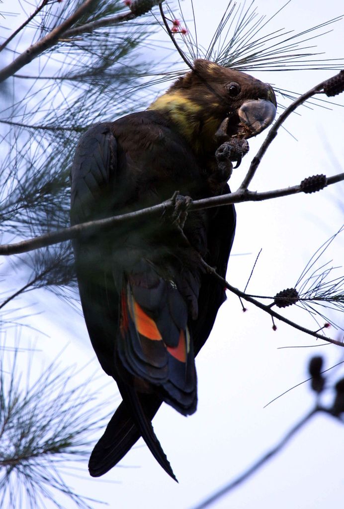
In this case a trackside scatter of chewed she-oak cones called orts. A good find, as orts signify the presence of Glossy black-cockatoos, listed as a Vulnerable species under the Queensland Nature Conservation Act, 1992. Scientists regard orts as a reliable indicator of the presence of the Glossies.
They feed almost exclusively on the seeds of nine she-oak species, often restricting their diet to two species within their range. They display strong fidelity to specific feed trees, returning to these trees year after year. They are quiet and unobtrusive birds and call infrequently. Hence the fresh orts were an indication that Glossies had been feeding in this tree.
So next time you are out walking in the bush keep an eye open for orts. You never know, there might be a pair of Glossies feeding quietly in the foliage of a she-oak nearby.
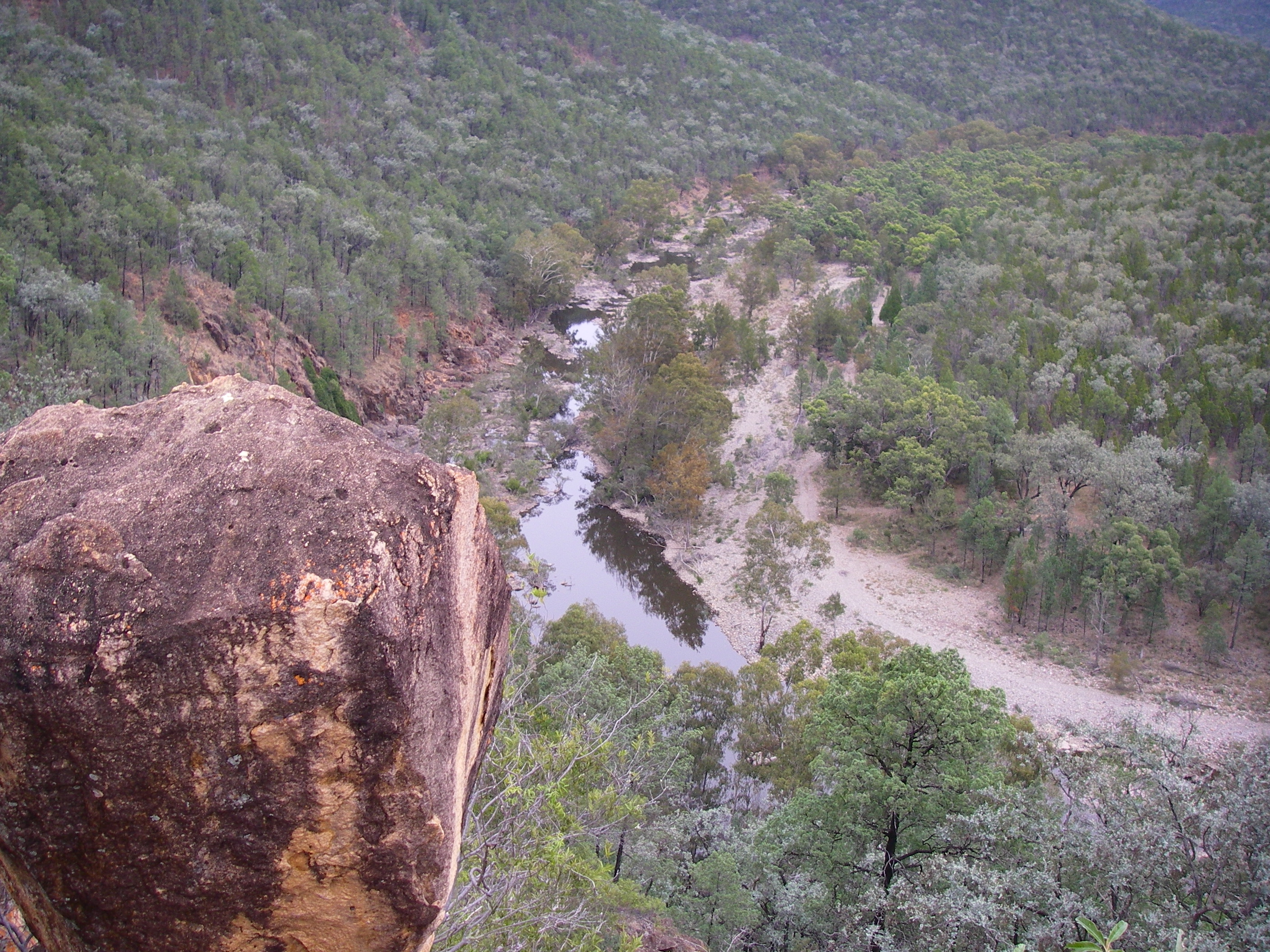
A few kilometres on we popped out of the woodland to the unremarkable Markwells Lookout.

To the east were the sands of Eurong beach with the blue Pacific Ocean stretching off to the horizon. Northwards , our direction of travel, is the lower country of the Markwell Land System. It is demarced from the high dunes where we were standing by an escarpment, sand not rock. Here the Bogimbah high dunes have been eroded into sharply delineated sand cliffs by past higher sea levels. Later erosion has obscured the steep cliffline so that our descent was quite gradual.
The Markwell Dune System is composed of more recent sand deposits forming relatively gentle topography clothed in open forest and some swampy country.
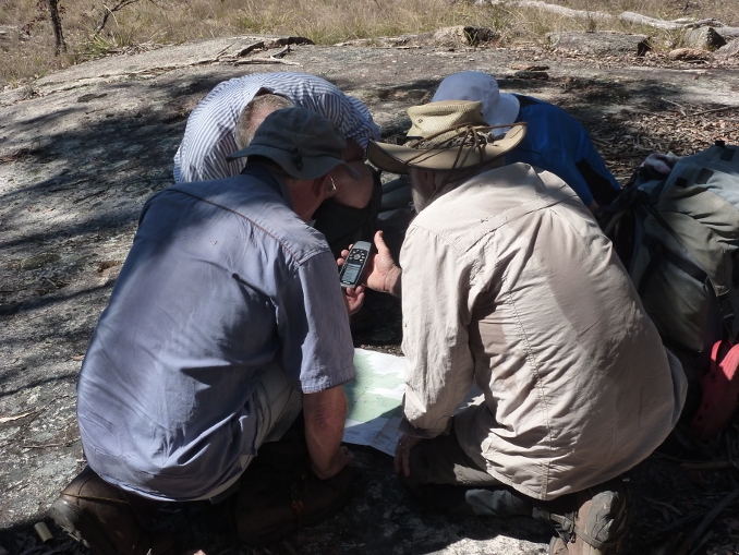
Meanwhile, back at the lookout Joe’s Bureau of Meteorology ( known in Australia as the BOM ) app informed us that severe thunderstorms promising heavy rain, hail and lightning were heading our way, encouraging us to divert for the Central Station where we could bunker down. Lake Wabby abandoned.
We followed Markwells northwards for another six kilometres across hot, flat , sandy country. By late morning the humidity was pretty unpleasant so we were happy campers when we swung back into the shady high dunes and re-connected with the Great! Walk track system.
The final four kilometres of our day edged gently downhill passing through Pile Valley featuring some of the best rainforest on K’gari. It is in Pile Valley that you are guaranteed to see the best specimens of K’gari’s rightly famous Satinay trees.

Satinay or Fraser Island Turpentine
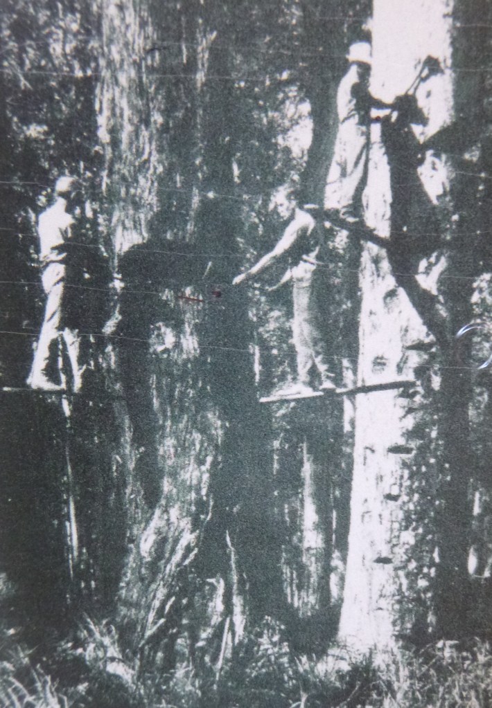
Satinay ( Syncarpia hillii ) was a much prized timber extracted from K’gari’s forests in the late 1800s and early 1900s. The name satinay derives from the satine wood of French Guiana. It had multiple uses : furniture, flooring, heavy construction beams, telegraph poles and most famously as borer resistant marine jetty piles.
Its timber graces Australia’s Old Parliament house while the piles were used extensively for the wharves of London and the Suez Canal. Satinay grows to well over 40 metres in height with girths of four metres. It is easily identified by its deeply furrowed bark and fused capsules.


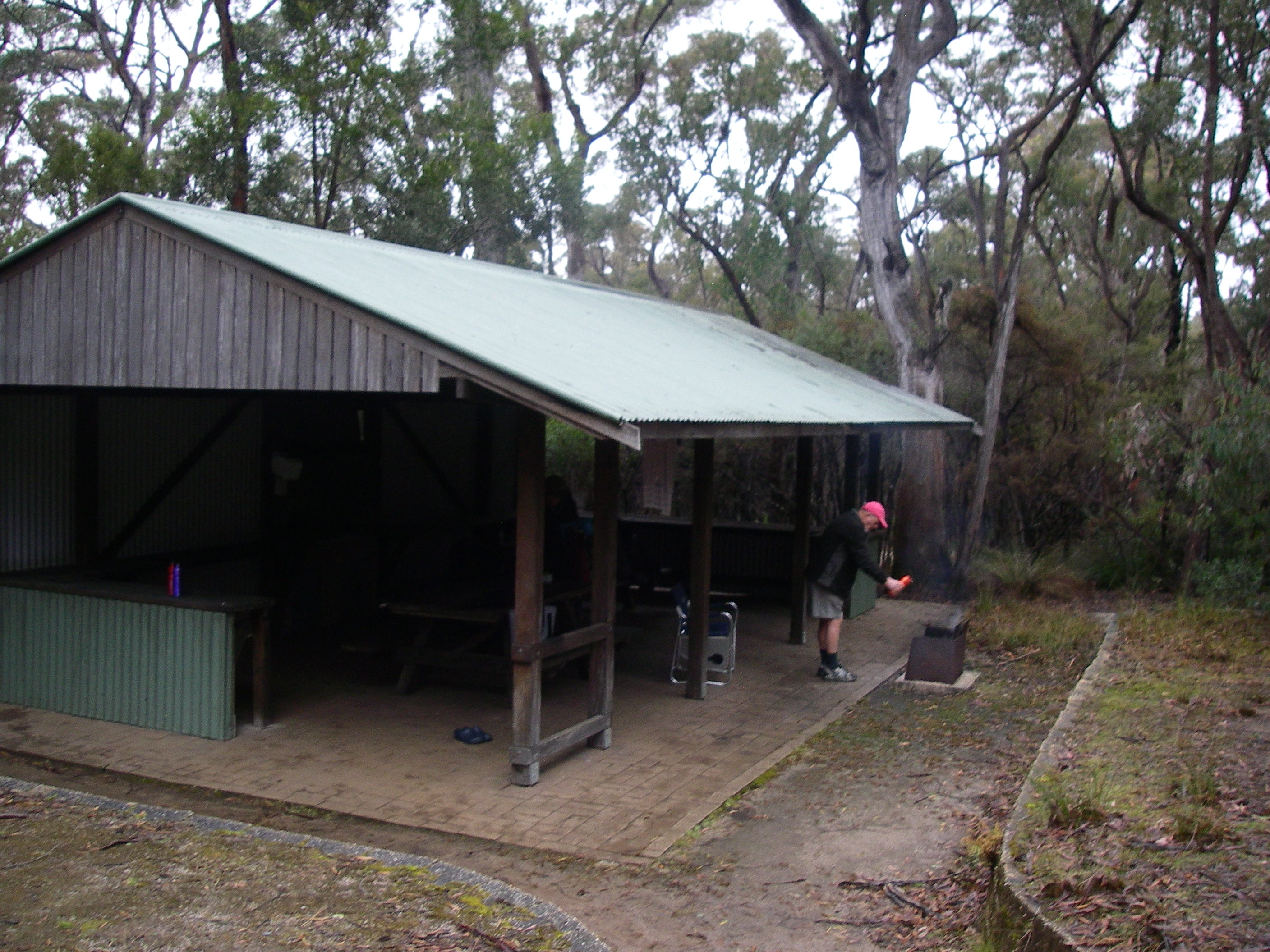
With rain threatening we hastened through Pile Valley and made a bee-line for a shelter shed in the Central Station Day Use Area. And there we perched for the night only issuing forth for a refreshing cold shower in the campground. PS: bring $ 2.00 coins if you want a hot shower.
We had avoided getting wet but the humid, still air in the backblocks of the shelter shed did seem to attract a robust population of mosquitoes and March flies, intent on driving us back out into the rain. Deet took care of the mosquitoes but the March flies are totally oblivious to layers of thick clothing and Deet. If you want a March Fly free experience, go in winter or September at the latest.

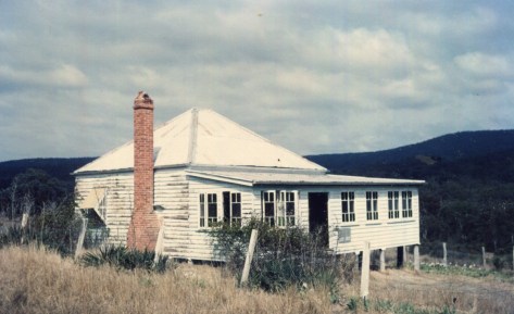
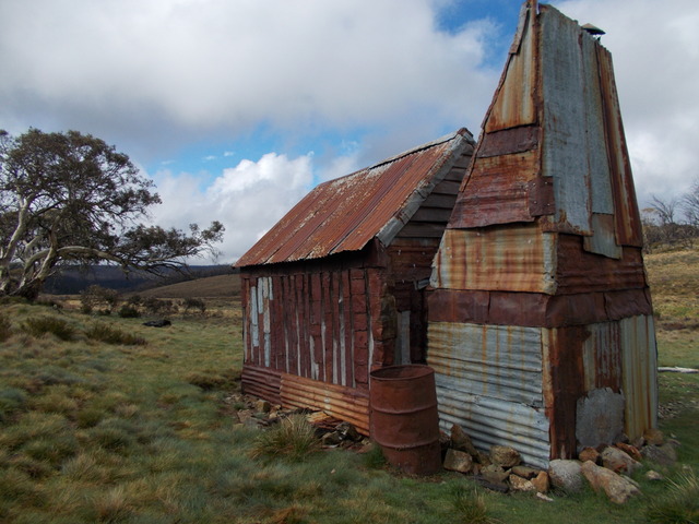
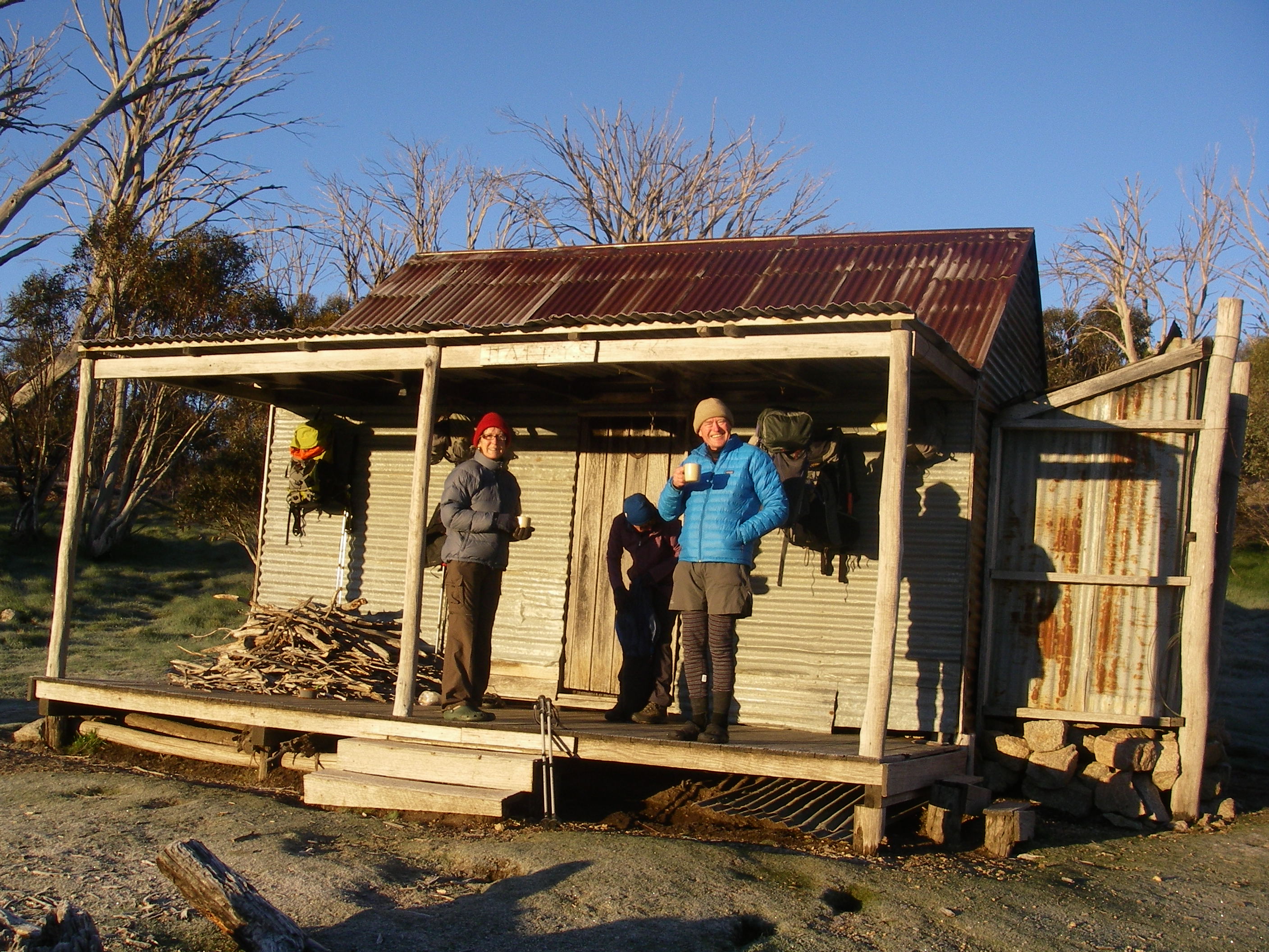
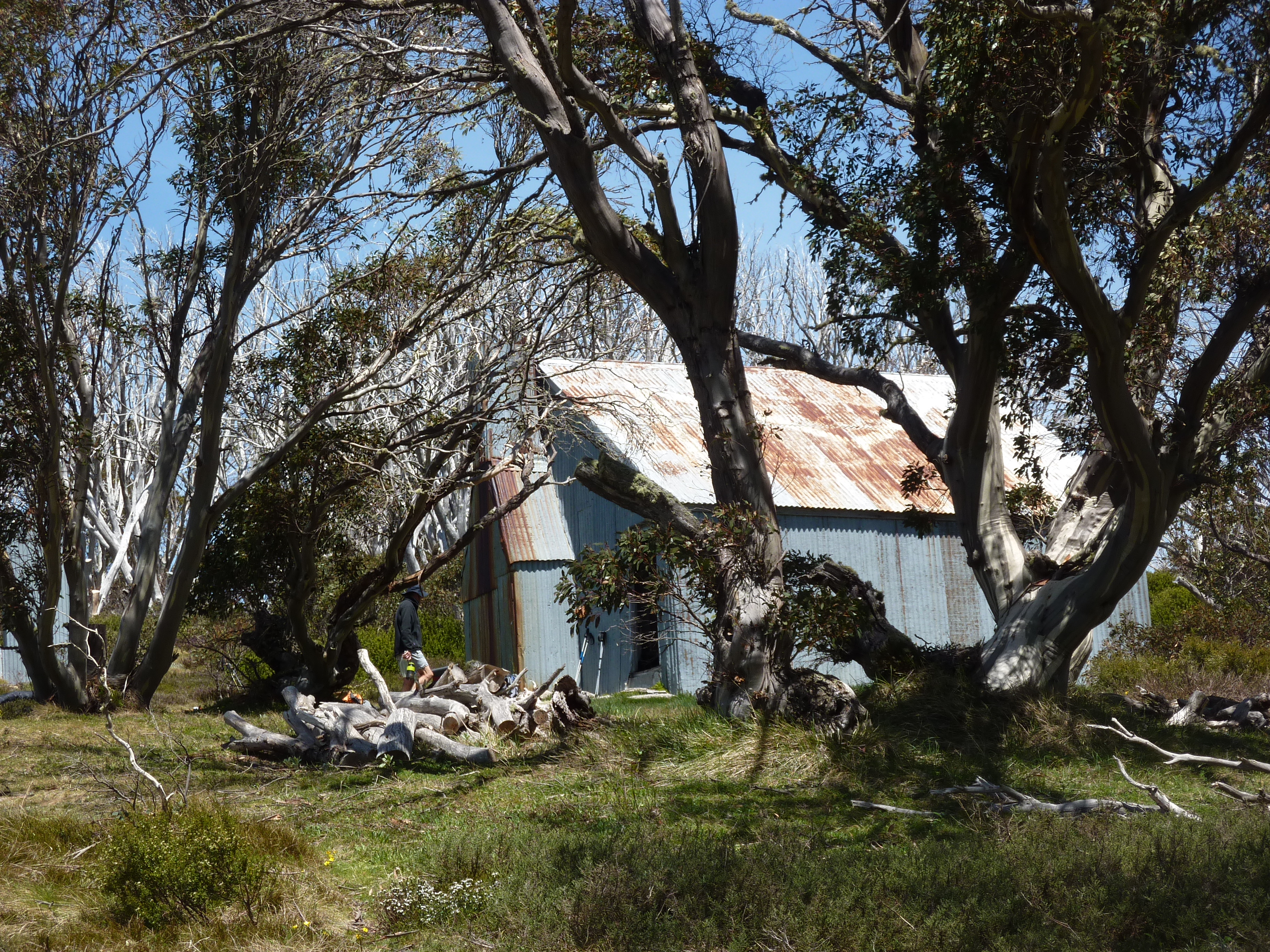
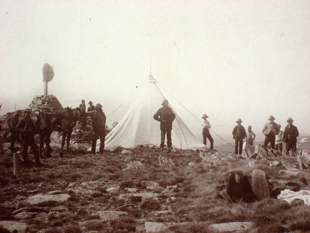
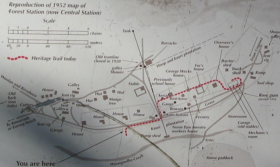
A History of Central Station.
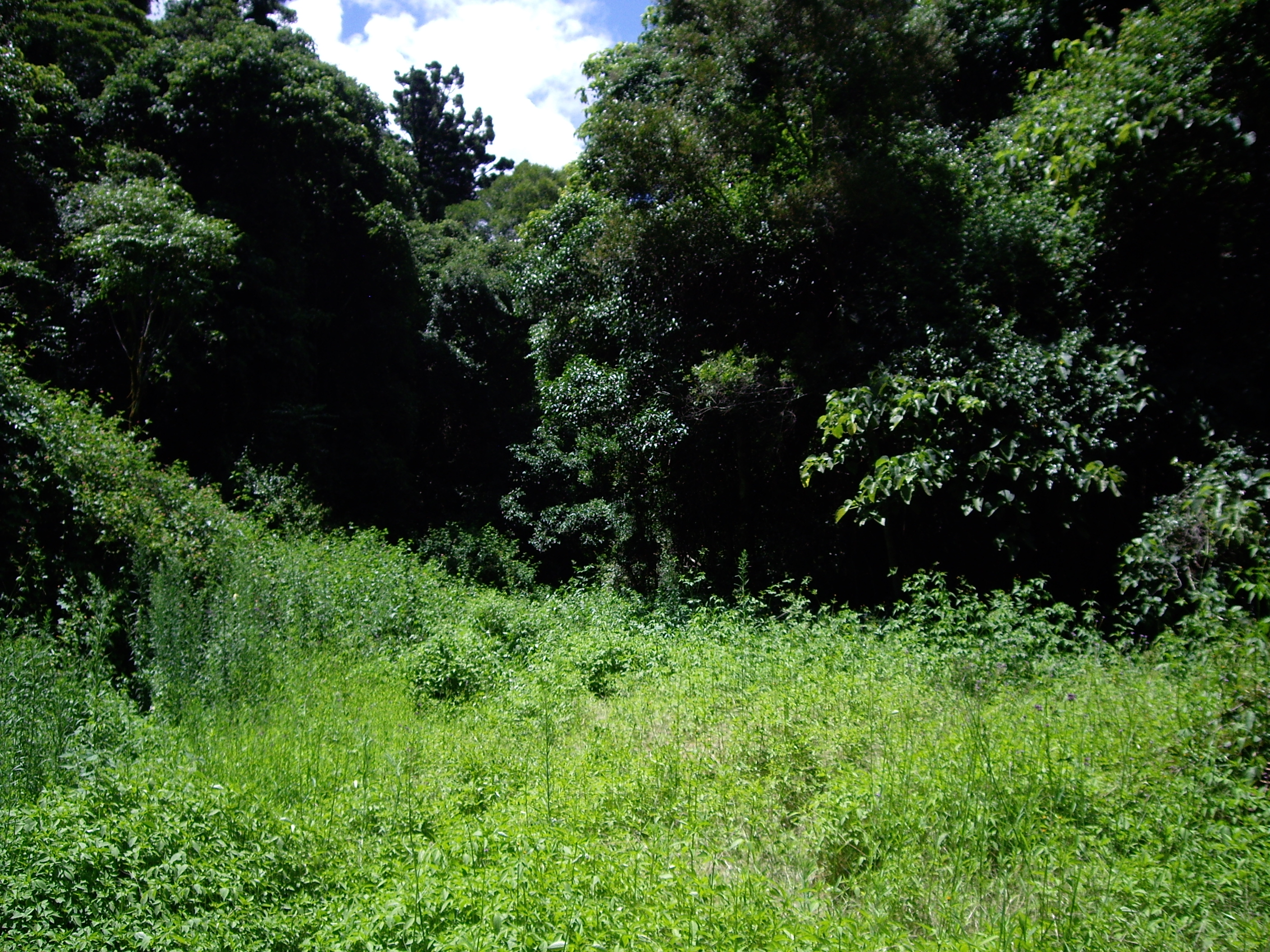
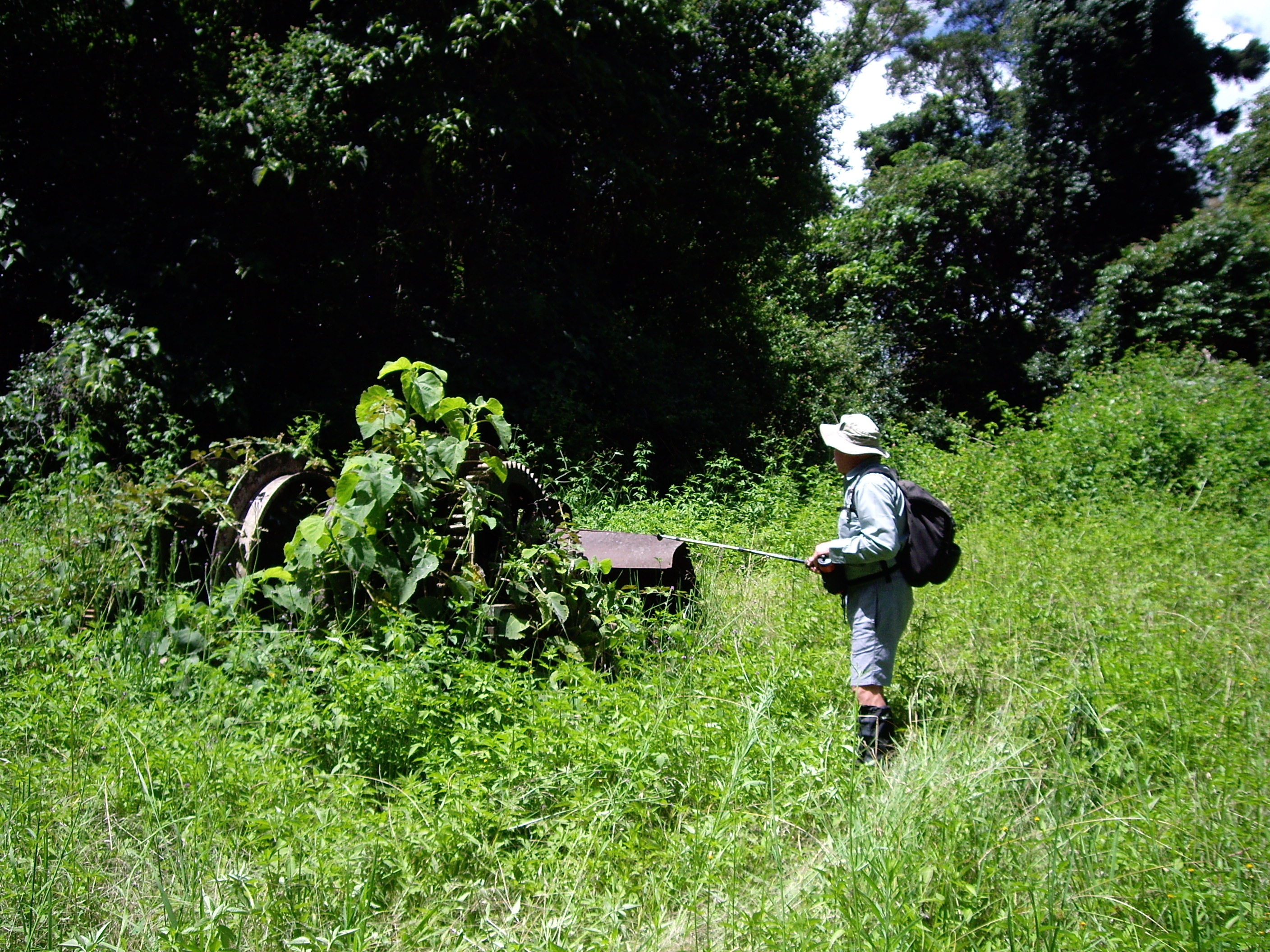
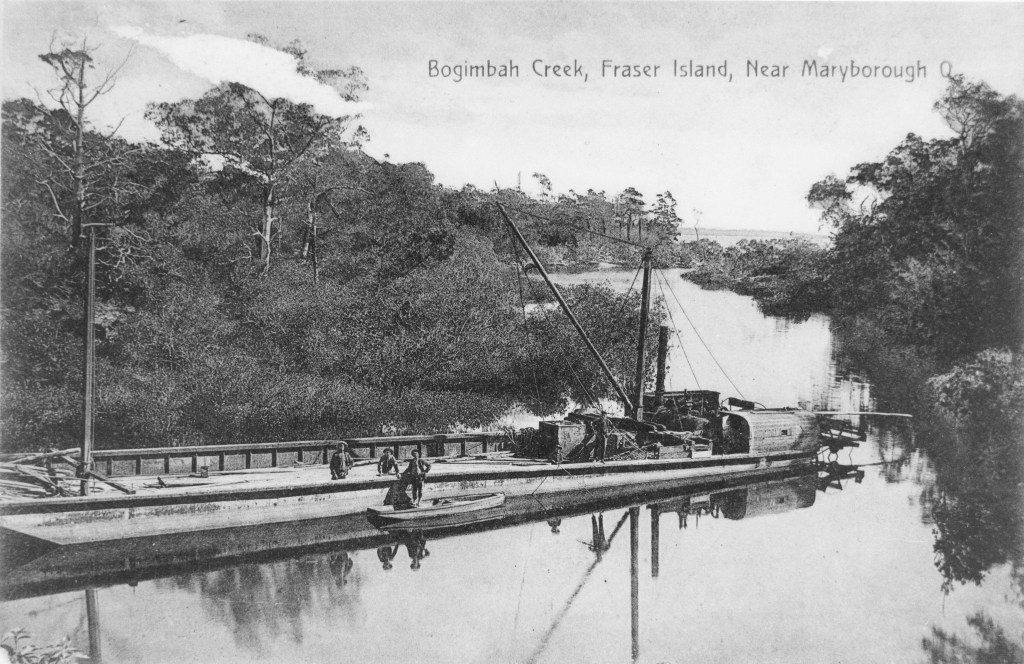
In its heyday, Central Station was a bustling forestry station. In 1952 it boasted a school, plant nursery, machinery sheds, vegetable gardens, fruit trees, stables, fernery as well as houses, huts, barracks and tents for its considerable workforce.
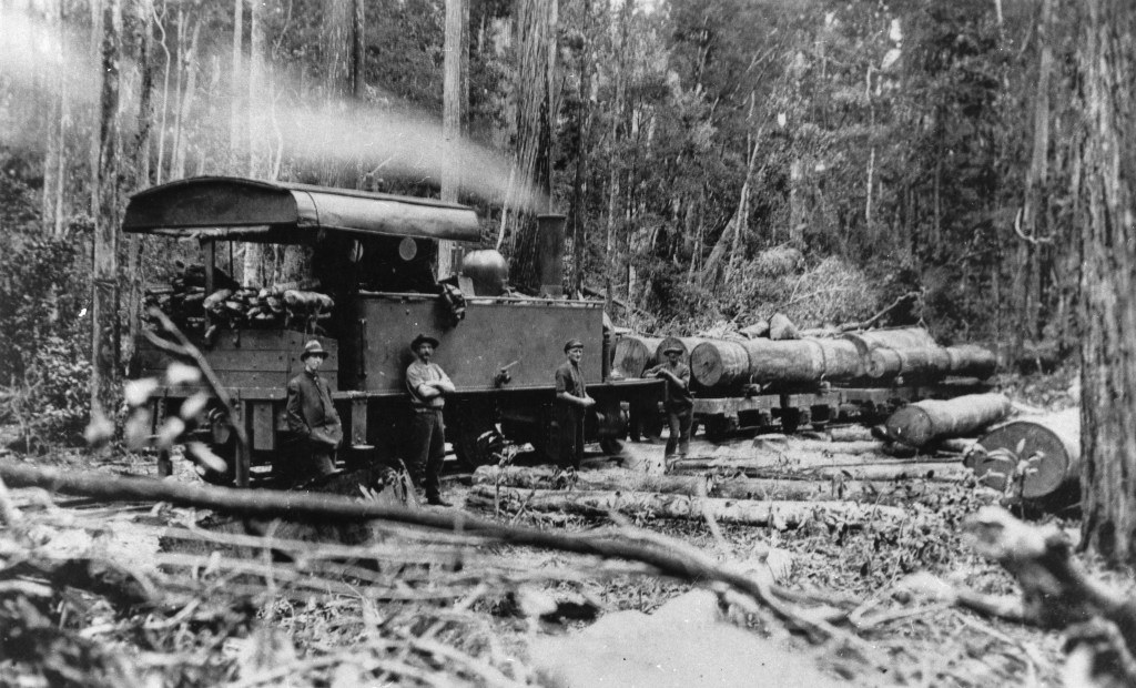
Steam locos puffed through, carting logs to K’gari’s west coast for transport to Maryborough. Water was pumped from nearby Woongoolba Creek, even now probably the clearest and cleanest water in Australia. On the northern side of the station were extensive plantations of Kauri and Hoop pines.
All that remains now are the barracks built in the 1930s , two huge mango trees and the pine plantations. Rangers are currently working on a small museum to showcase the history of Central Station.
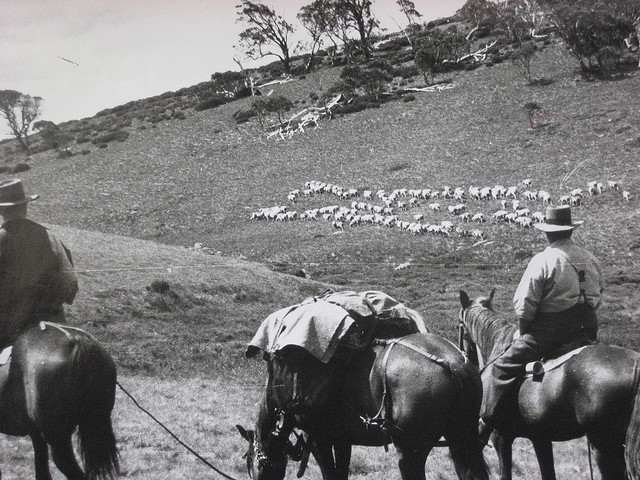
A Gallery of historical photos of timber industry on K’gari


Monday: Central Station to McKenzies Jetty: 18 kms.
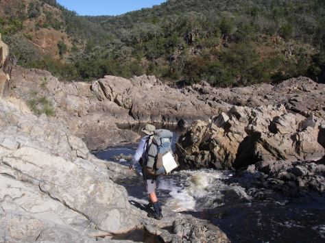
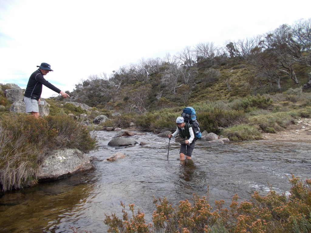
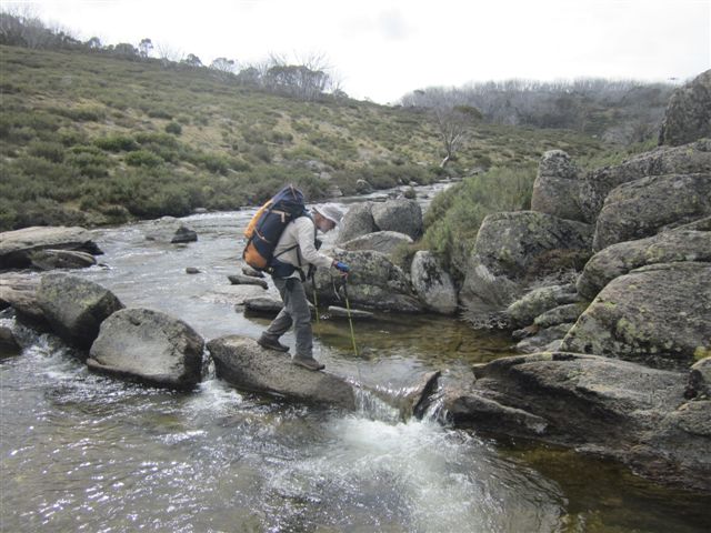
Out disgustingly early again, hoping to dodge any stray rangers doing their rounds. Our revised plan was to walk through to McKenzies Jetty ( ruins ) where we hoped to prop for the night, leaving only four kilometres to knock off tomorrow morning. Our map showed a perennial stream flowing out into the Sandy Strait, a potential source of water for our overnight camp. Had we learnt our lesson from the Bridge Creek debacle.?
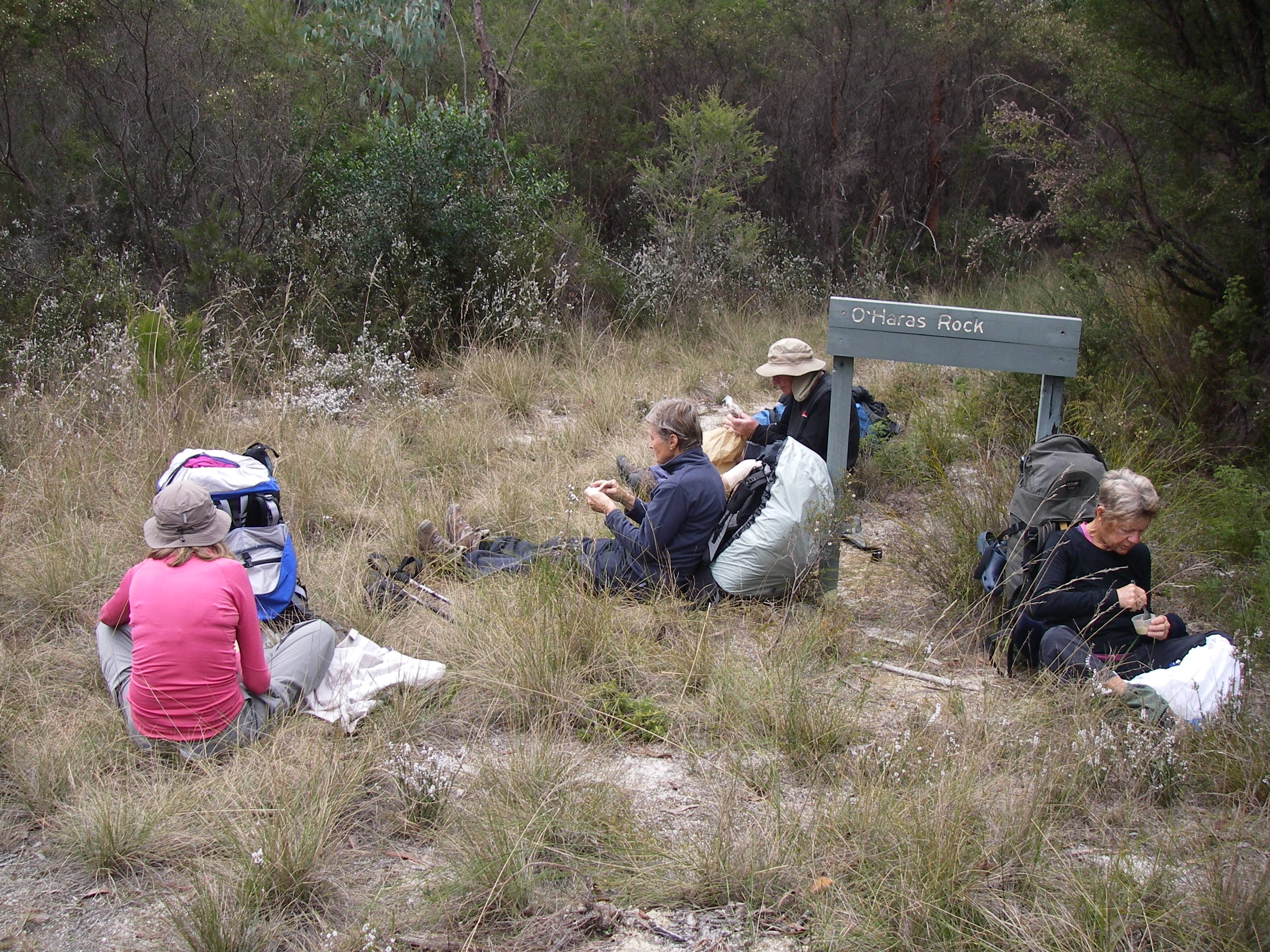
An initial long climb took us up to Tarwan / Basin Lake . John drifted down to the lake again in the vain hope of seeing something avian. Joe and I lurked around in the shade.
And so onto Boonangoora / Lake McKenzie to retrieve a sweet treat food stash planted last Friday in a log in the campground. But first came the refreshing dip in the lake and given that it was barely 9.00 am it was, pleasantly, a tourist free zone. Though we could have done without the drone fly-over.
The stash of tinned peaches, rice cream and cream disappeared in a thrice. Fuel for the next ten kilometre stretch to McKenzies. Ten kilometres through low open woodland and health on a stifling humid day. Not much fun. Come midday we were keen to flop down in anything that passed as a patch of shade. Joe produced a trial batch of hommus to spread on our biscuits. This was dried stuff that he reconstituted with water. The trick is get the mixture to a thickish paste for spreading. Pretty damm scrumptious actually. Thanks Joe.
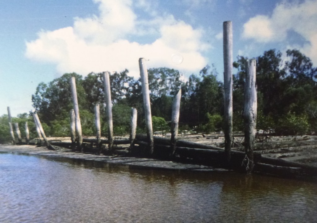
A solitary walker drifted past with a brief nod followed by a small party of day walkers who studiously ignored the old blokes flaked out on the track’s edge. Lunch over we headed west following the easement of the old timber tramway which terminated at the old McKenzies sawmill site and jetty.

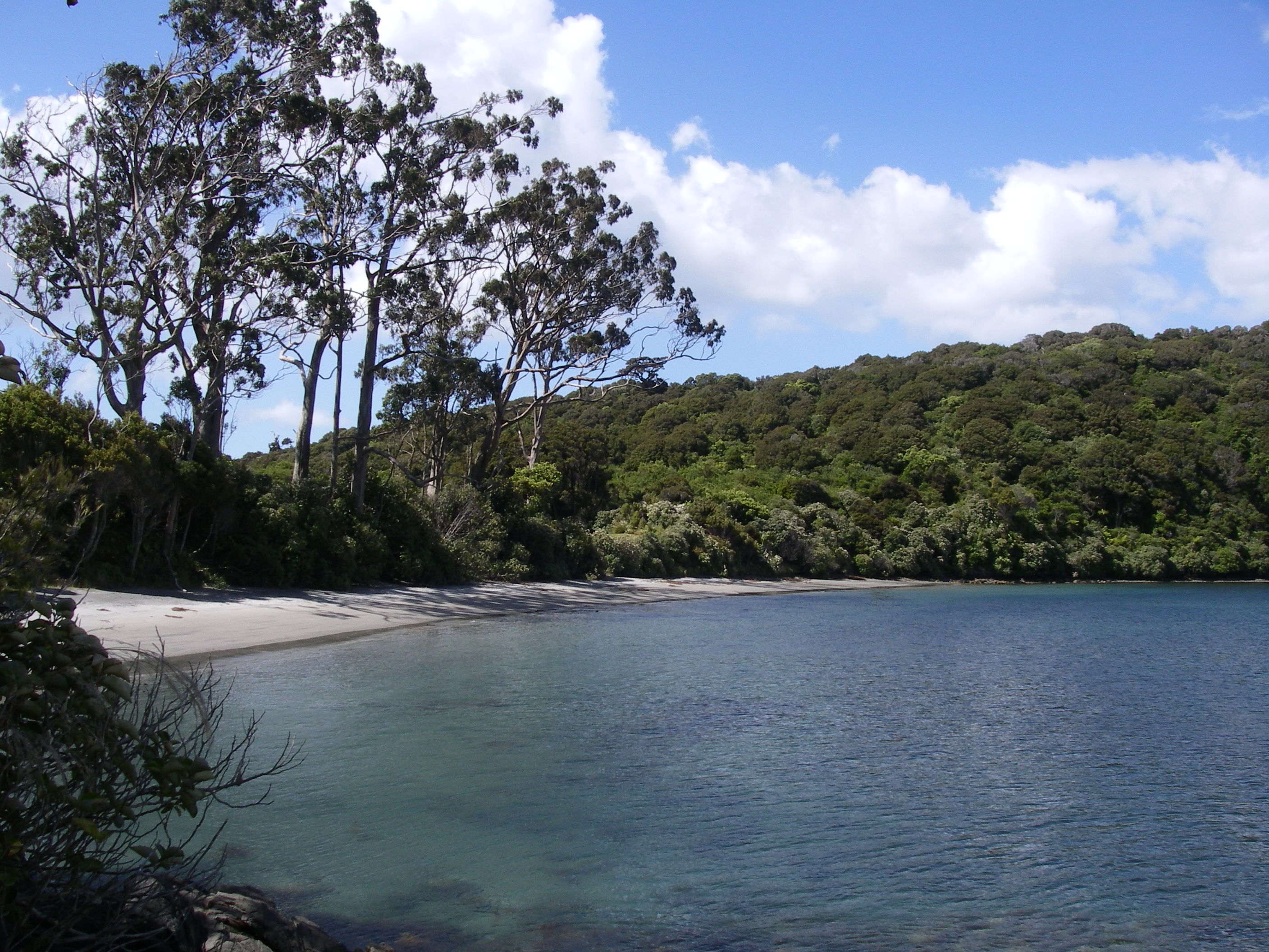
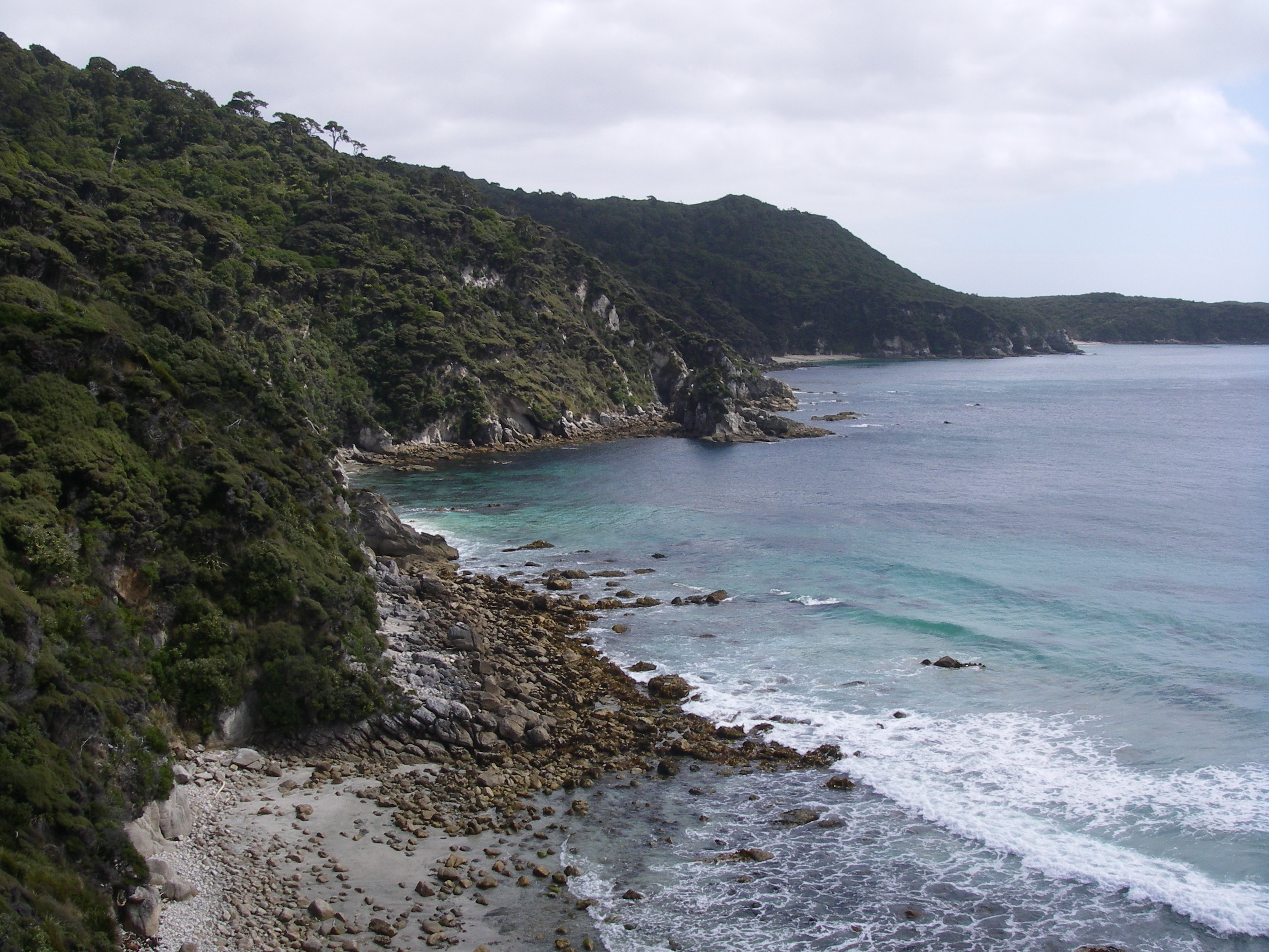
With the sky darkening and the wind picking up it was time to find water and an overnight campsite. After a quick scoot around the Mill Circuit ( don’t bother, if you want my honest opinion ), we popped out onto the beach at McKenzies.
Opposite us, on the Fraser Coast storm cells raced northwards. Out on the exposed beach it was windy and wet but no lightning and no hail. Our water resupply came from a small creek trickling across the beach. Once known as Foulmouth Creek, its aboriginal name is the melodious Yeenyargoor Creek, for which I can find no translation.


Any thoughts of dossing down in the nearby day use area were torpedoed by unfriendly ‘No Camping‘ signs and a remote security camera peering down from a tree high above us. Possibly planted by the Butchellas. Thwarted, we wandered back to an adjacent headland and found a level section of track where we fussed around setting up for the night.

An inspired choice for a campsite: views over the Great Sandy Strait, lightning dancing over the mainland in the distance and two dingoes padding towards us. A mother ( lime green tag in right ear ) and a very rotund and furry pup. Once aware of our presence they propped, posed for a photo opportunity, then ambled off. Not a care in their doggy world. My leather boots spent a night in the tent lest some passing dingo fancied a Dubbin flavoured boot to chew on.
Tuesday: McKenzies to Kingfisher Bay Resort: 4 kms.
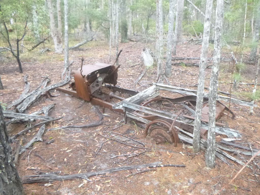
The final four kilometre leg today was into Kingfisher Bay Resort to catch the ferry back to the mainland. Apart from views across the Great Sandy Strait to Woody Island and Little Woody Island this section is littered with artefacts from the World War Two training camp of Z Force. This secretive commando group trained to attack a variety of Japanese targets in South East Asia including Singapore Harbour.
Z Force, The Fraser Island Commando School.
The WW2 Fraser Island Commando School operated from this site from late 1943 to war’s end in 1945. It provided specialised training for commandos being sent behind Japanese lines in locations as diverse as Vietnam, Timor, Papua New Guinea, Indonesia and Singapore .

Fraser Island was considered a good choice as a commando base with its comparative remoteness, extensive and varied shoreline and patches of jungle. Not much is left today: a few concrete slabs, old stumps and a relief map of the local area rendered in concrete. Surprisingly few artefacts to be seen, given that at the end of the war the the camp was a village with cinema, gym, post office, workshops, ammo magazines, and a tent-bed hospital.
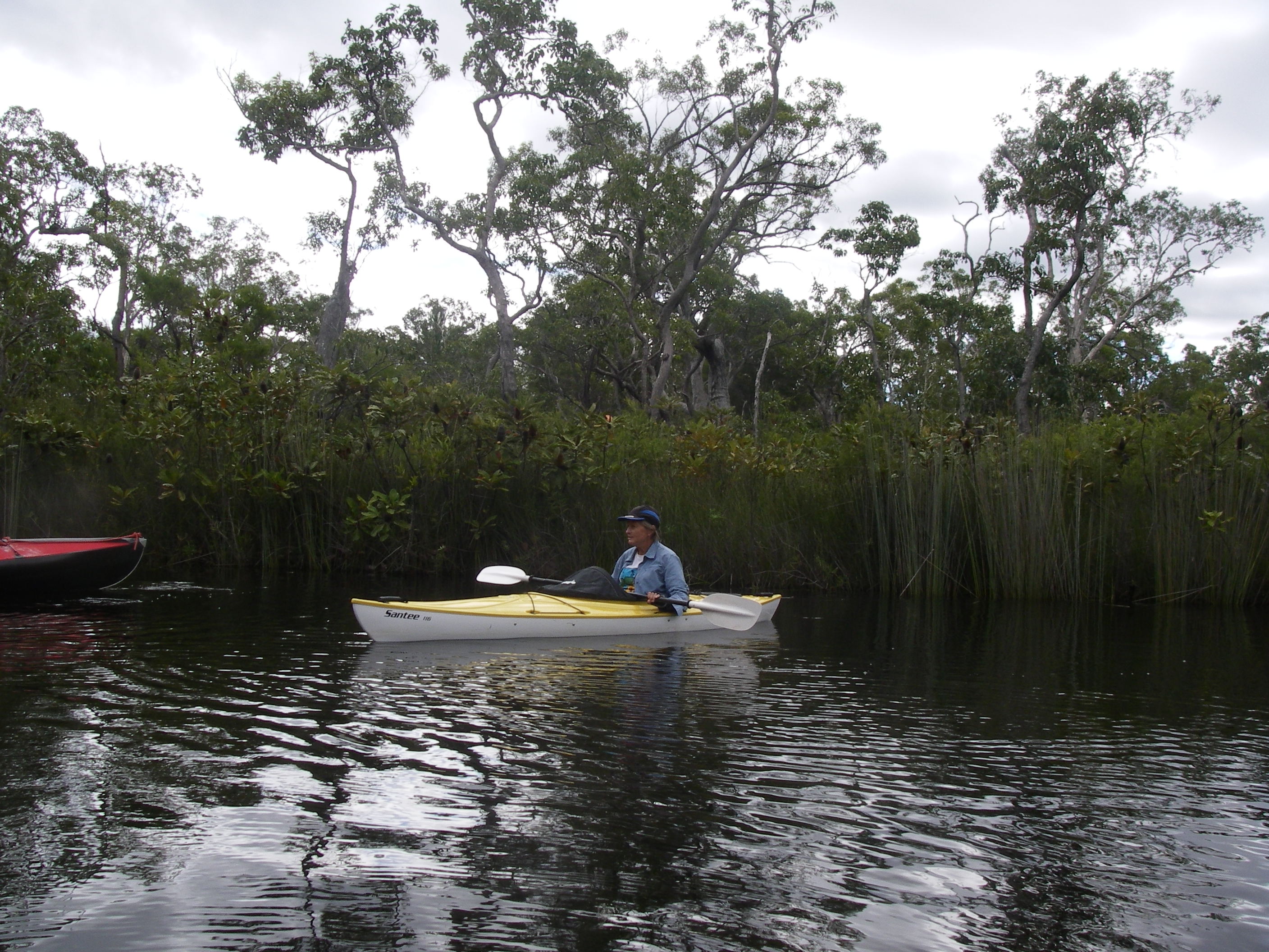
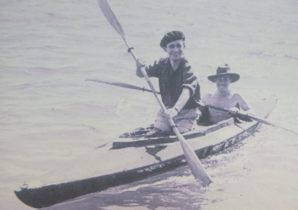
Of particular interest to me was their training in the use of Folboats. Two person kayaks that could be assembled and disassembled as needed. In the 1970s I built a rigid canvas covered 2- person kayak modelled on the Folboat design which we used for many years.
For training, the commandos would paddle their Folboats to nearby Woody Island where they would attack the fake enemy Comunications Centre that had been set up . Unsuspecting friendly vessels had dummy limpet mines attached before the commandos silently glided away into the night. As a final exercise they paddled over to the mainland, up the Mary River to Maryborough where their ‘ targets ‘ included Walkers Shipyard and the rail yards . All undetected, of course.
The most well known of the operations was Operation Jaywick, which struck at Japanese shipping in Singapore harbour in September 1943. A former Japanese fishing supply vessel, renamed the Krait, set out from Western Australia in early September and set up a canoe base at Panjang Island, from where six operatives in three Folboats set out and attached limpet mines to six Japanese freighters and one tanker, sinking between 37,000–39,000 tons of shipping.
The men rendezvoused with the Krait in early October, and returned safely to Western Australia. However, another attempted attack on Singapore Harbour a year later, codenamed Operation Rimau, failed with the loss of the whole party of 23 men (10 being captured and executed by the Japanese).
Soon after 8.00 am we too glided in, dropping anchor at Kingfisher Resort’s Sand Bar, dismayed to find the bar and swimming pool closed. No matter, we unearthed the resort guests’ hot showers , had a good soapy scrub down and climbed into whatever we had in the way of clean clothes.

Meanwhile, Joe, being Joe, did, as he so often does for us. He managed to scout out the only open kiosk and came back bearing gifts of fruit juice and apples. Our five day adventure was over. With grateful thanks to my two hiking mates, John and Joe.
Map of one of our previous hikes on the northern section of the K’gari / Fraser Island Great Walk.