by map and compass

by map and compass

Search
Skip to content
  • Home
  • Journals and Articles
  • Day Trips
  • Throughwalks

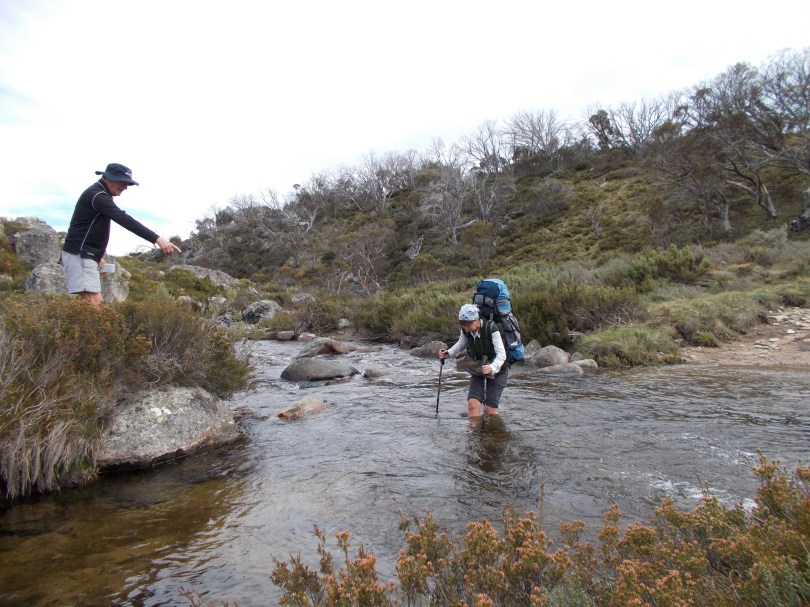
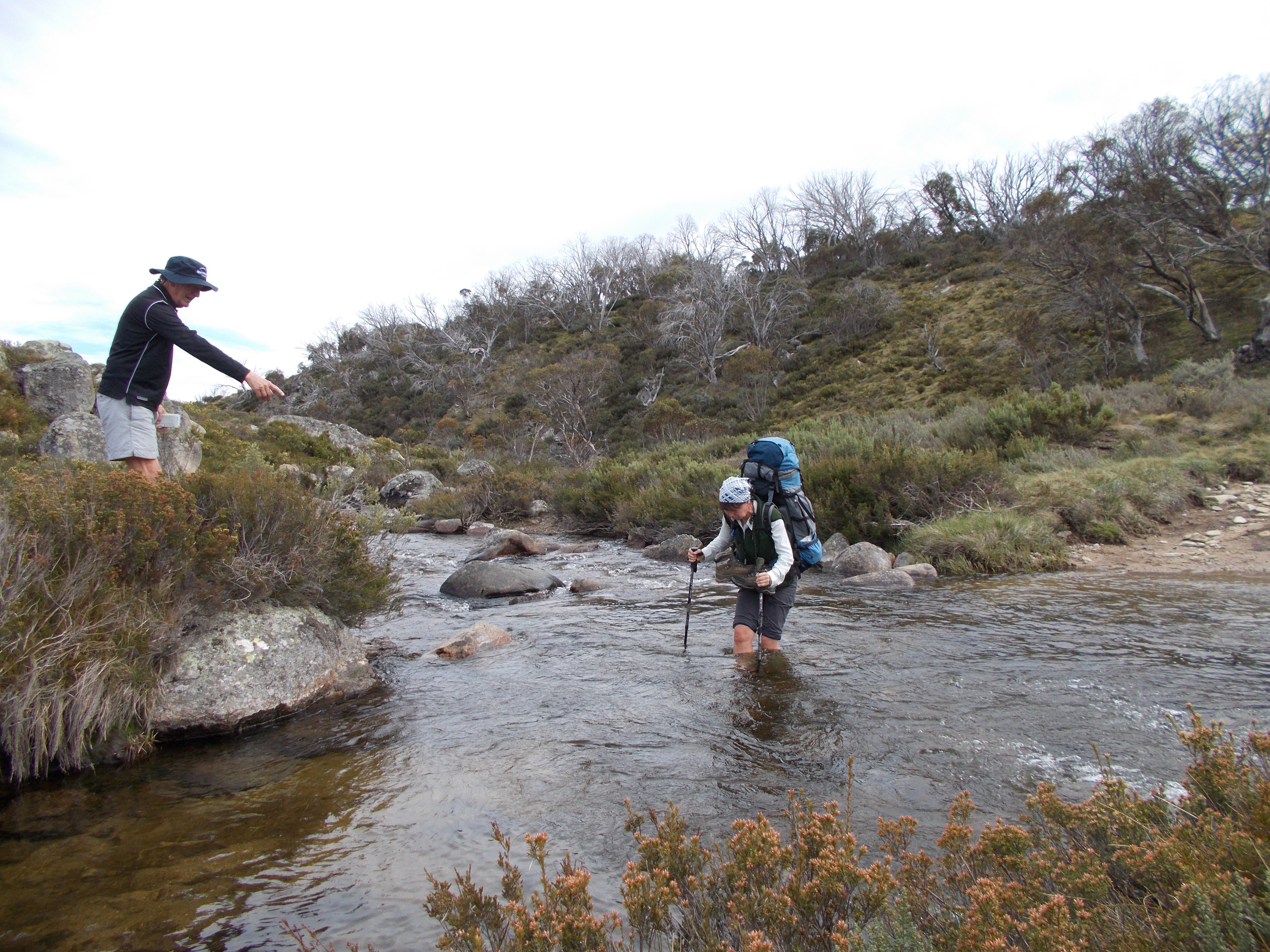
One of many creek crossings

January 21, 2015 4608 × 3456 Kiandra to Kosciuszko

One of many creek crossings.

Previous Image
Next Image

a bushwalker's journal

  • Home
  • Journals and Articles
  • Day Trips
  • Throughwalks
  • Mt Moffatt National Park Circuit Drive
  • A Remote Australian Wilderness: the Mawson Plateau : S.A
  • Mt Moffatt Section , Carnarvon National Park.
  • Mt Jagungal: Kosciuszko National Park
  • Bluff Tarn: A hike in Kosciuszko National Park
  • Kiandra to Canberra on the Australian Alps Walking Track
  • Northern Sundown National Park.
  • Hiking the High Plains of Northern Kosciuszko
  • Sunset at Sundown. Southern Sundown National Park. Qld.
  • Sundown National Park
Kerries Ridge. Kosciuszko National Park.
Kerries Ridge. Kosciuszko National Park
Summit of Mt Jagungal. Kosciuszko National Park. Middle Ordovician Jagungal Volcanics.
Mt Jagungal. MyKosciuszko National Park.
Tin Hut, Kosciuszko NP
The Tin Hut. Kosciuszko National Park.
Cup & Saucer. Kosciuszko NP
The Cup and Saucer. Kosciuszko National Park.
Whites River Hut, Kosciuszko NP
Whites River Hut. Kosciuszko National Park.
Dingo, K'gari, Fraser Island
Dingo raiding party. Kgari. Fraser Island
.Bluff Tarn, Kosciuszko NP
Grevillea
Red Rock Gorge, Sundown NP
Tarn Bluff, Kosciuszko NP
K'gari.
Yankee Hat Art Site
Follow by map and compass on WordPress.com
Creative Commons Licence
By Map and Compass by Glenn Burns is licensed under a Creative Commons Attribution-NonCommercial-ShareAlike 4.0 International License.
Blog at WordPress.com.
  • Follow Following
    • by map and compass
    • Join 61 other followers
    • Already have a WordPress.com account? Log in now.
    • by map and compass
    • Customize
    • Follow Following
    • Sign up
    • Log in
    • Copy shortlink
    • Report this content
    • View post in Reader
    • Manage subscriptions
    • Collapse this bar