by map and compass

by map and compass

Search
Skip to content
  • Home
  • Journals
  • Throughwalks
  • Day Walks
  • Nature Notes
  • Books Reviews Websites
  • Kayaking and Canoeing
  • Photo Gallery

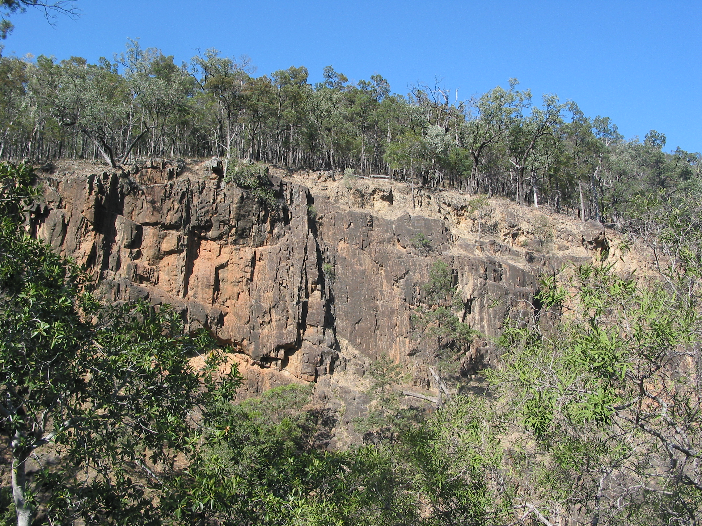
Rugged Sundown Landscape

December 7, 2016 2272 × 1704 Sunset at Sundown. Southern Sundown National Park. Qld.

Rugged Sundown Landscape

Previous Image
Next Image

a bushwalker's journal

  • Home
  • Journals
  • Throughwalks
  • Day Walks
  • Nature Notes
  • Books Reviews Websites
  • Kayaking and Canoeing
  • Photo Gallery

Click to read post

  • A Remote Australian Wilderness: the Mawson Plateau : S.A
  • Mt Moffatt Section , Carnarvon National Park.
  • Mt Jagungal: Kosciuszko National Park
  • Bluff Tarn: A hike in Kosciuszko National Park
  • Kiandra to Canberra on the Australian Alps Walking Track
  • Northern Sundown National Park.
  • Hiking the High Plains of Northern Kosciuszko
  • Sunset at Sundown. Southern Sundown National Park. Qld.
  • Sundown National Park
  • Stewart Island’s NW Circuit
  • A Surfeit of Serpents
  • The Great Ocean Walk …. sun,surf and sleet.
  • Monolith Valley and The Castle: The Budawangs
  • Paddling Australia’s mighty Murray River.
  • Mt Meharry: WA’s Highest Mountain
  • The Walls Of Jerusalem: A Wilderness in Winter.
  • Bushwalking on Water: the Upper Noosa River
  • Long Plain: Northern Kosciuszko National Park.
  • Kiandra to Kosciuszko
  • Washpool-Gibraltar Range World Heritage Walk
  • Book Review: Darrell Lewis: A Wild History: Life and Death on Victoria River Frontier
  • Ark on Eyre: The Cape Labatt sea lion colony.
  • Wandering Queensland’s White Mountains.
  • Photo Gallery: Cape to Cape Track. WA. by Lyn Hewitt.
  • Cape to Cape Track WA

Australian Landscapes

North Rams Head 2170m: Kosciuszko NP

High Country Huts

Pockets Hut: Nth Kosciuszko

Winter Walks

Photo: Alex Burns: Walls of Jerusalem. Tasmania

Geology

Trace of Sea Scorpion 420 mya. Among the first creatures to venture out of sea & onto land.

Australian Explorers: Edward John Eyre

Aboriginal well used by explorer Edward John Eyre in 1839.

Sundown National Park. Qld.

Severn River. Sundown National Park. Qld.

Walking in the UK

Walking UK style. The Cleveland Way Nth Yorkshire passing beach huts near Whitby

Cootapatamba Hut. Kosciuszko NP.

Cootapatamba Hut. Kosciuszko NP.

Dingo. Fraser Island

Dingo. Fraser Island

Desert Landscape: Mt Hopeless. SA.

Stony Desert Plains, Mt Hopeless SA
Stony Desert Plains south of Mt Hopeless. South Australia
Follow by map and compass on WordPress.com
Creative Commons Licence
By Map and Compass by Glenn Burns is licensed under a Creative Commons Attribution-NonCommercial-ShareAlike 4.0 International License.
Blog at WordPress.com.