Mt Moffatt is a remote and relatively pristine section of Carnarvon National Park in Central Queensland. It occupies the headwaters of the western flowing Maranoa River; a diverse landscape of broad valleys, basalt tablelands and isolated outcrops of Precipice sandstone .
This former beef grazing property, was purchased by the Queensland Parks and Wildlife Service in 1979 to add to their extensive Central Queensland Sandstone park estate.

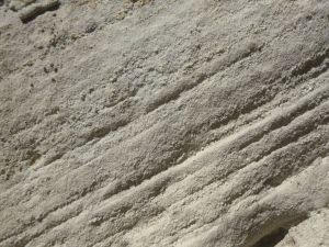
Geology
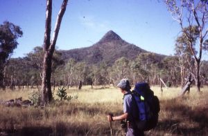
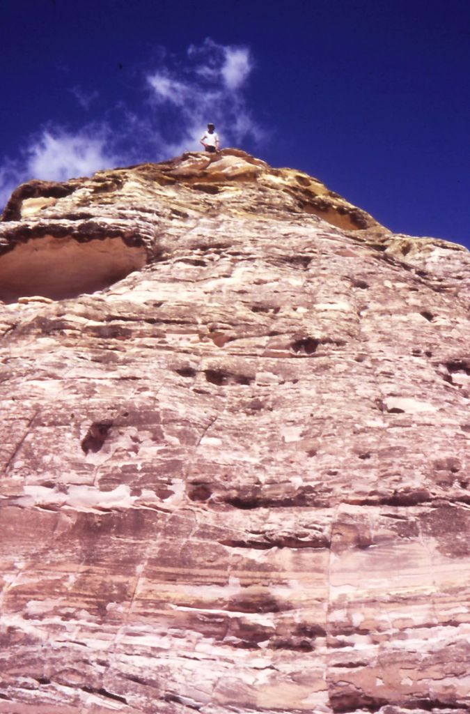
Mt Moffatt is an elevated sandstone and basalt park averaging about 700 – 800 metres in elevation, rising to 1232 metres on the basalt-capped Consuelo Tableland in the park’s north-east. The park was named after a solitary basalt peak, Mt Moffatt (1097 metres), standing hundreds of metres above the East Branch of the Maranoa River.

The Consuelo Plateau is known as ‘The Roof of Queensland’ as it forms the headwaters of many Queensland rivers. Carnarvon Creek flows eastwards into the Comet and Dawson thence to the Fitzroy River. Draining westwards across Mt Moffatt is the Maranoa River, ultimately feeding the Murray-Darling system.

Plant Communities
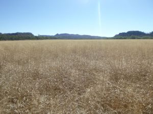
Mt Moffatt has a diverse plant community of open woodlands, tall Eucalypt forests and vast open grassy plains.
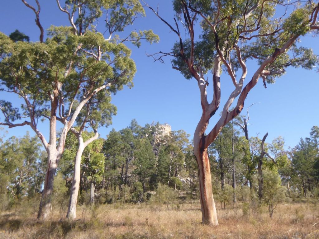
Unlike its near neighbour, Carnarvon Gorge, this is an open terrain of sandstone spires, arches and extensive clifflines of Precipice Sandstone.
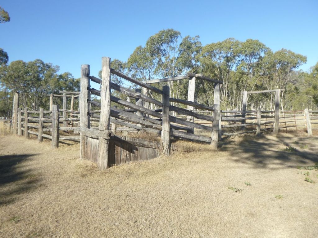
It has a rich human history. Aboriginal stencil art is abundant and their occupation stretches back at least 19,000 years. Reminders of the area’s life as a cattle property are seen in relict stockyards and fencing. For those of you fascinated by bushrangers, Mt Moffatt was site of the grisly murders of Constable George Doyle and station manager Christian Dahlke by the notorious Kenniff brothers.
I have been visiting Mt Moffatt since 1988 and since then have hiked with family and friends many times across Mt Moffatt and the Consuelo; and more latterly have walked the six day Carnarvon Great Walk which incorporates Carnarvon Gorge and Mt Moffatt.
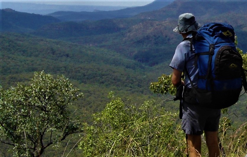
Photo Gallery