by map and compass
Search
Primary Menu
Skip to content
Home
Journals and Articles
Day Trips
Throughwalks
Search for:
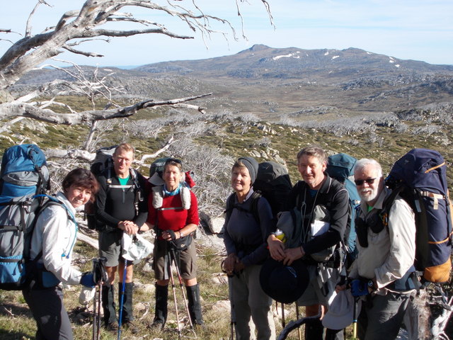
Kerries Ridge
January 21, 2015
640 × 480
A Summer Hike from Kiandra to Mt Kosciuszko
Kerries Ridge
Previous Image
Next Image
a bushwalker's journal
Home
Journals and Articles
Day Trips
Throughwalks
Subscribe
Subscribed
by map and compass
Sign me up
Already have a WordPress.com account?
Log in now.
by map and compass
Subscribe
Subscribed
Sign up
Log in
Copy shortlink
Report this content
View post in Reader
Manage subscriptions
Collapse this bar

